| ~ FALL 2013 PHOTOS ~ Western North Carolina |
All Text & Images: Copyright (2013-2014) |
| ~ FALL 2013 PHOTOS ~ Western North Carolina |
All Text & Images: Copyright (2013-2014) |
 |
|
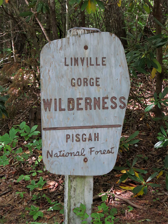
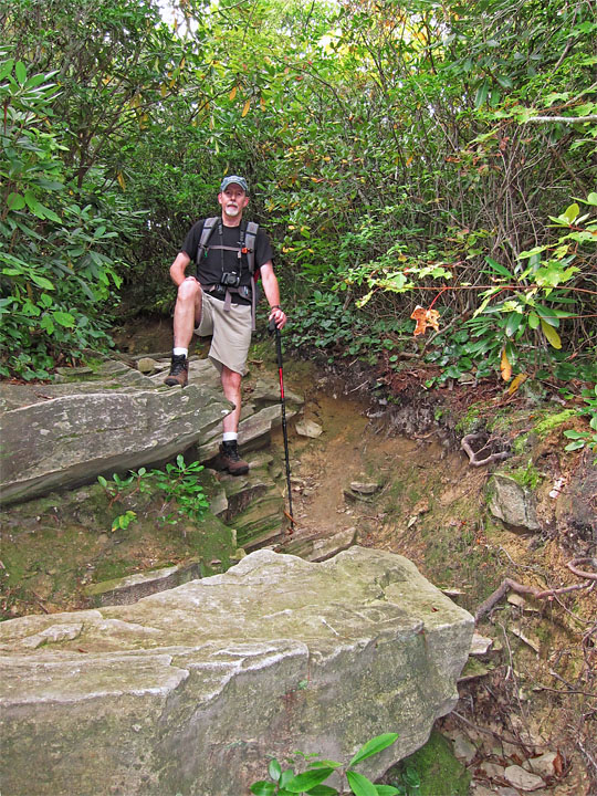
Trailhead |
|
 |
|
 |
|
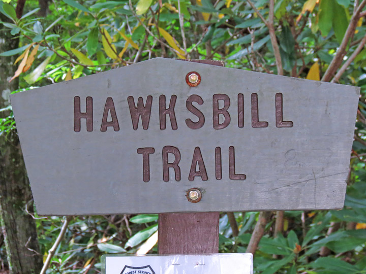
Along the Hawksbill Trail |
|
 |
|
 |
|
 |
|
 |
|
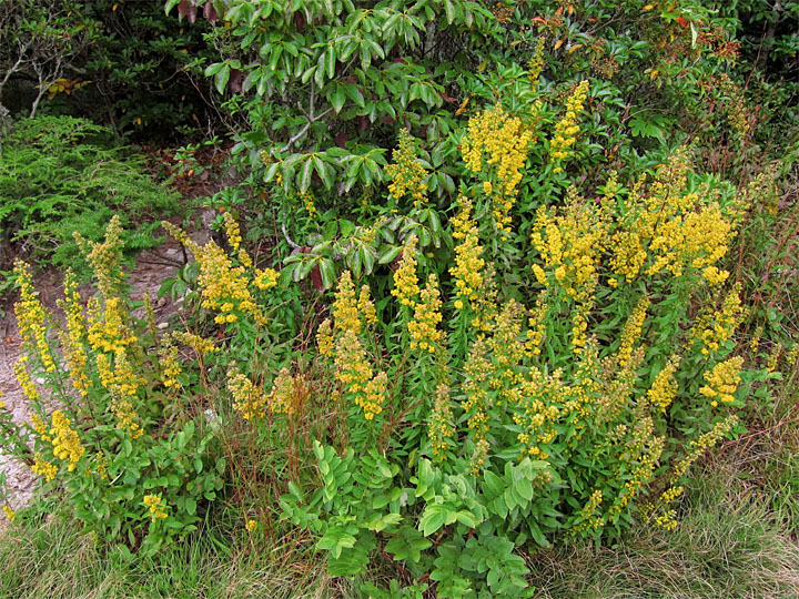
| Goldenrod |
|
 |
|
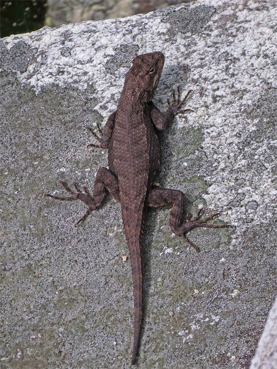
| Eastern Fence Lizard |
|
 |
|
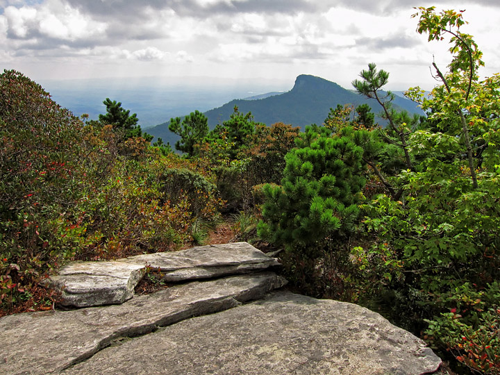
| Approaching southern area of summit |
|
 |
|
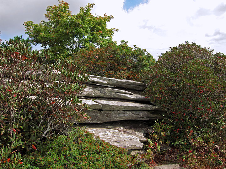
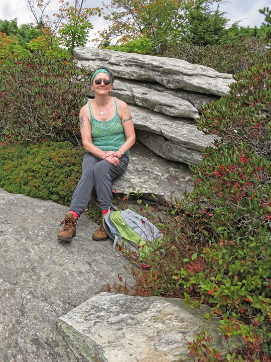
| Stunted pines, heath and rhododendron grow between rock ledges at the summit |
|
 |
|
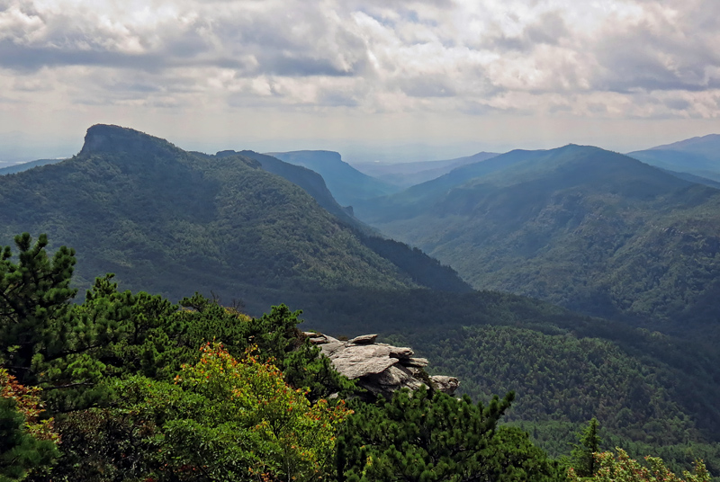
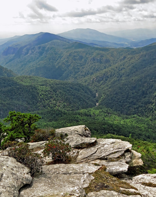
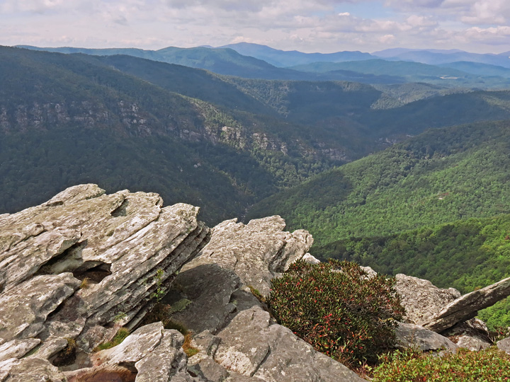
| Looking south down Linville Gorge, Table Rock on left |
|
 |
|
| Turning around provides a northerly view up the Gorge |
|
 |
|
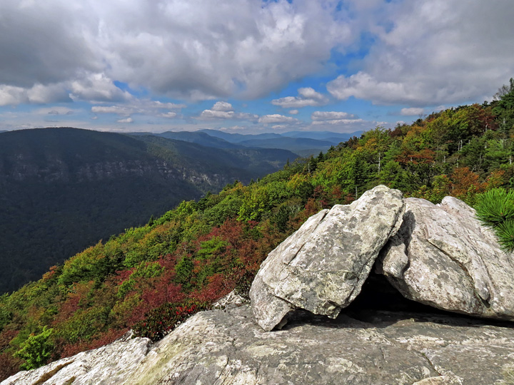
| Linville Gorge |
|
 |
|
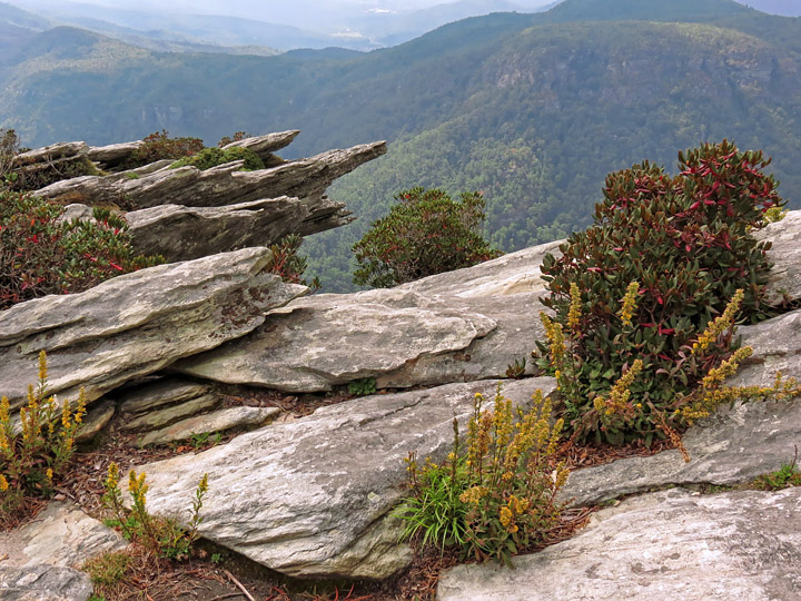
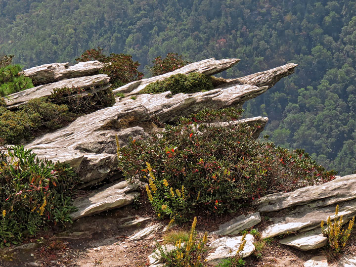
| Jagged boulders |
|
 |
|
| Lunch spot |
|
 |
|
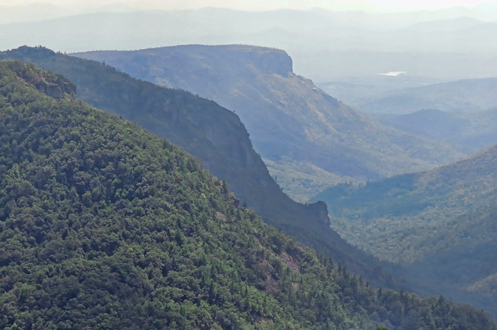
| Another view looking south down the gorge (Front to rear: Table Rock, The Chimneys, Shortoff Mtn.) |
|
 |
|
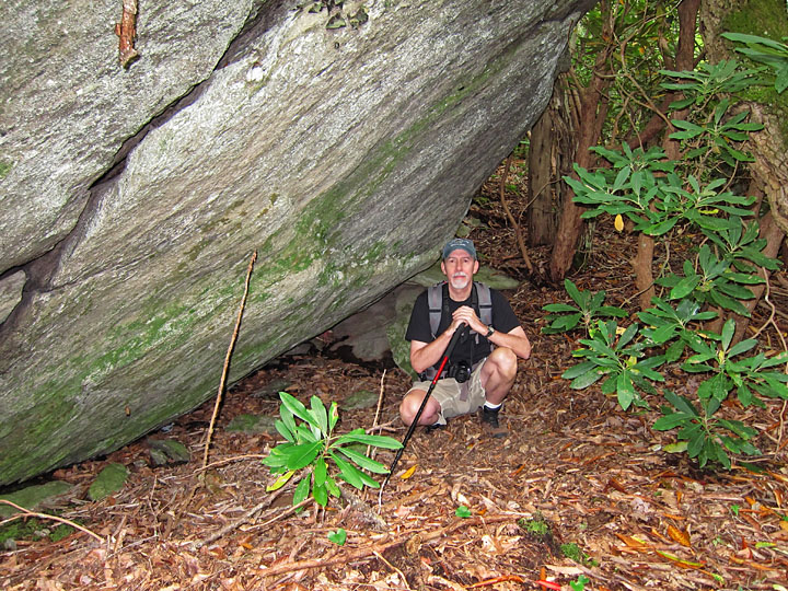
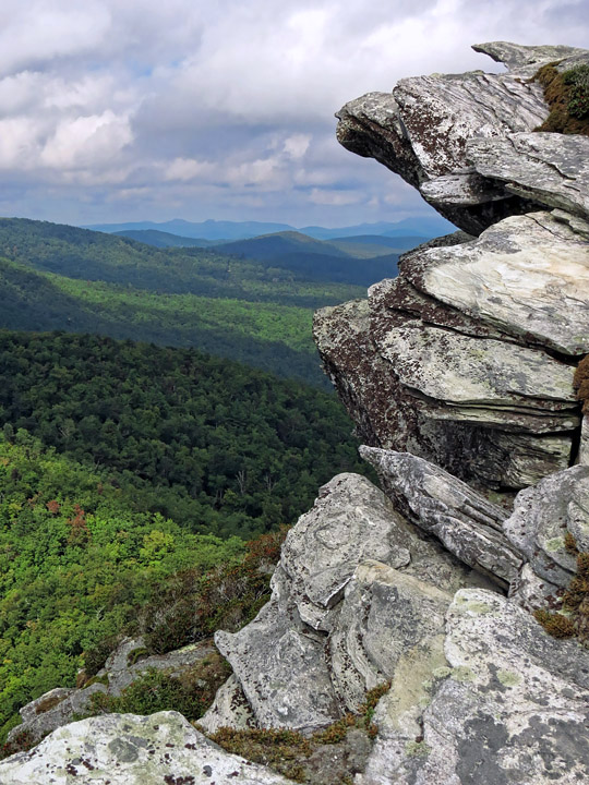
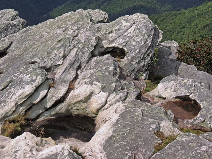
Interesting geology and some views from Hawksbill's summit |
|
 |
|
 |
|
 |
|
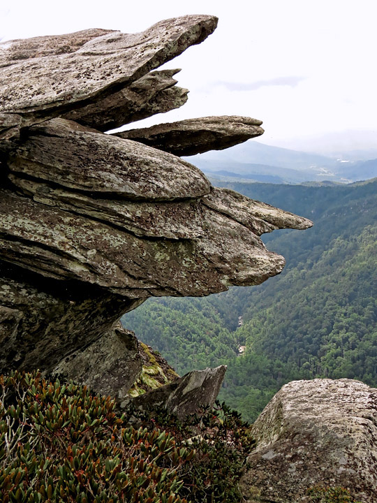
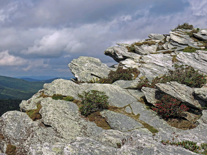
Crags at northern summit This steep edge is Hawksbill's highest point (4020') and illustrates the thrust fault. |
|
 |
|
 |
|
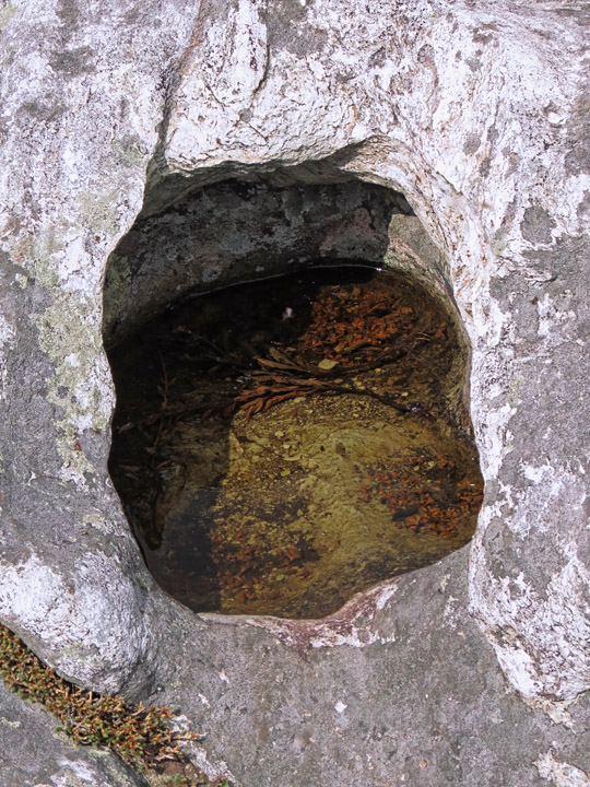
Water-filled "potholes" in the rock |
|
 |
|
 |
|
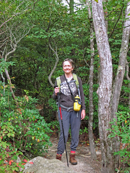
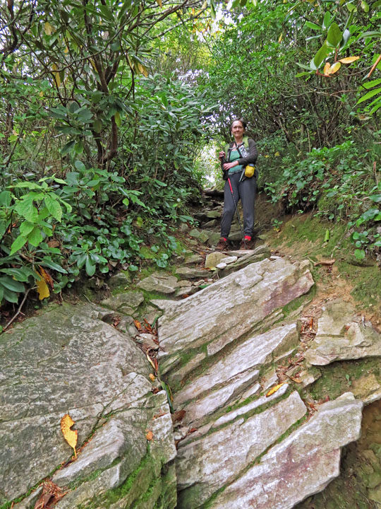
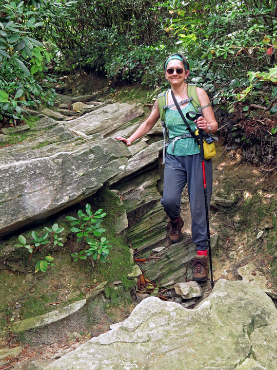
| Trail descent |