| Boulder Alignment February 2025 - Towns County, GA |
All Text & Images: Copyright (2025) |
| Boulder Alignment February 2025 - Towns County, GA |
All Text & Images: Copyright (2025) |
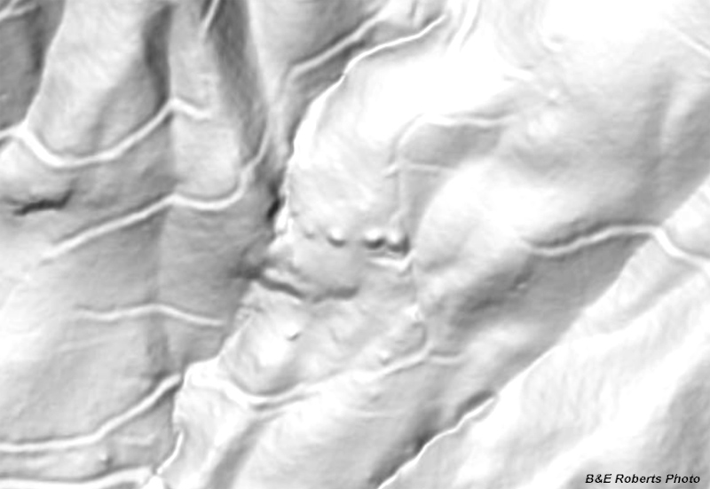
| I was checking LIDAR imagery, looking for old mines, and came across some weird indications. Five "protuberances" in a row, following the contour of a steep slope. Years ago, we'd found a Native American soapstone bowl quarry nearby; we'd searched the area closely for more bowls, but hadn't climbed up this high. Protruding indications aren't uncommon in LIDAR, usually just ledges or boulders, but five evenly spaced in a row was just odd. I wondered if it might be something related to the Native American quarry, being so close. But that was not to be - it was just huge boulders that happened to be evenly spaced along the slope. |
|
 |
|
| LIDAR image with the odd indications in the center. |
|
 |
|
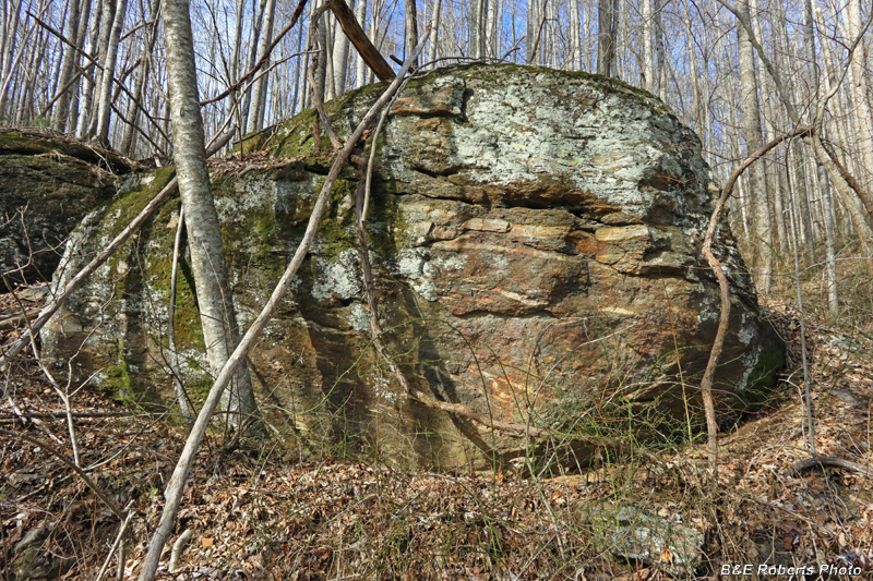
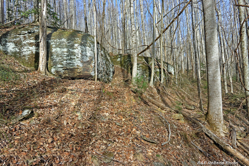
| I climbed up and came in from the east. This was Boulder 1; Boulder 2 is just visible to the left. |
|
 |
|
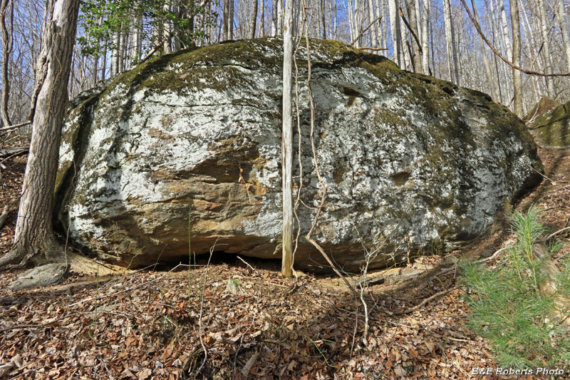
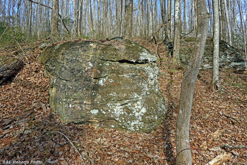
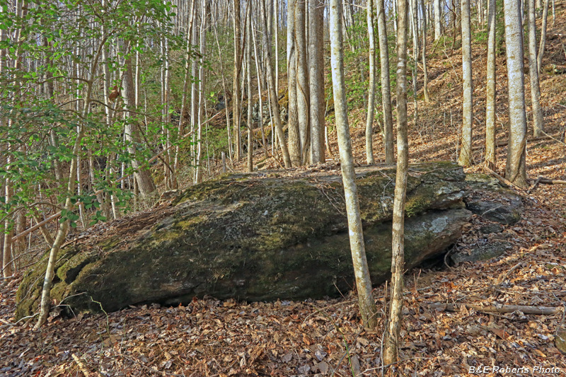
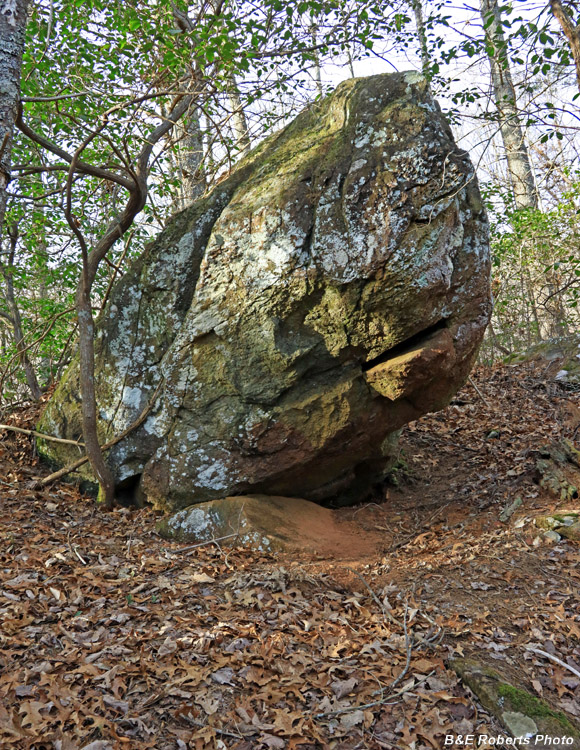
| Boulder 2. These rocks ranged from about 15-24 feet in length, and 9-13 feet in height. |
|
 |
|
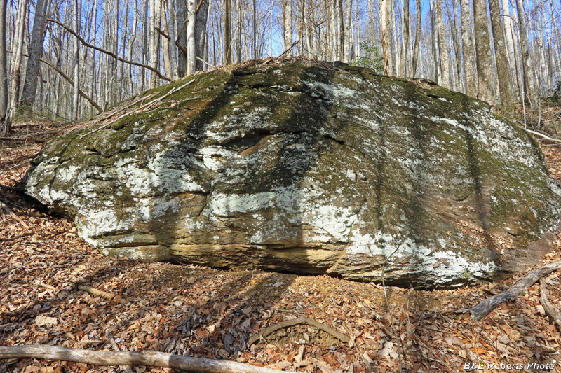
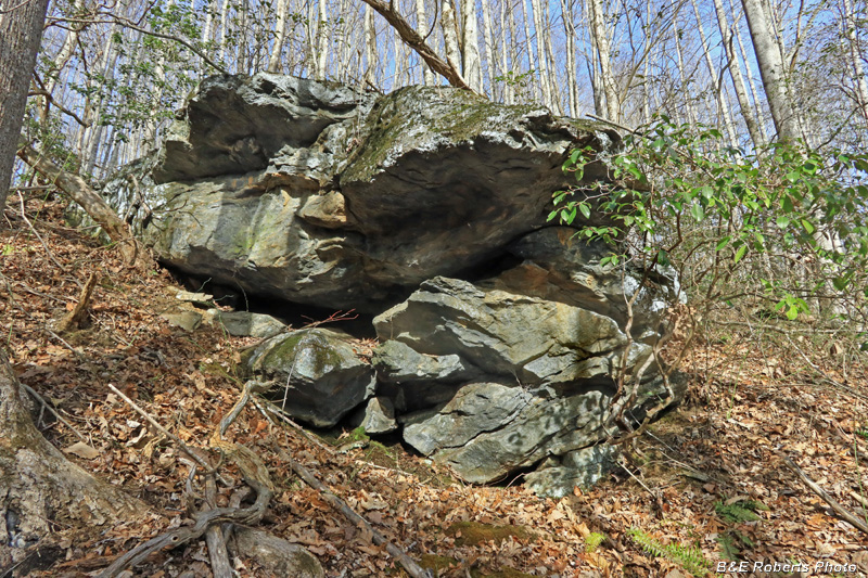
| Boulder 3 |
|
 |
|
| From in front of Boulder 3, looking back at Boulders 2 & 3. This photo doesn't show it well but there appeared to have been some old prospecting done just below the first two boulders. |
|
 |
|
| Boulder 4 was the smallest of the aligned rocks |
|
 |
|
| Immediately west was a branch that drops into a steep gorge. Boulder 5 was directly across the creek. |
|
 |
|
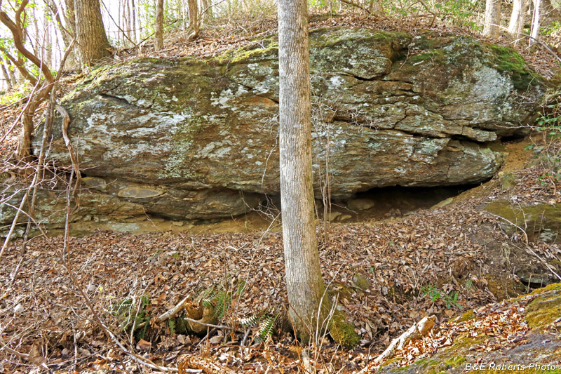
| This boulder, immediately downslope between Boulders 4 & 5, seemed to be composed of a different rock than the others. |
|
 |
|
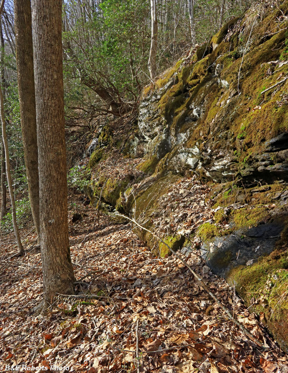
| A cliff face approx. 15 feet high led down to the gorge. |
|
 |
|
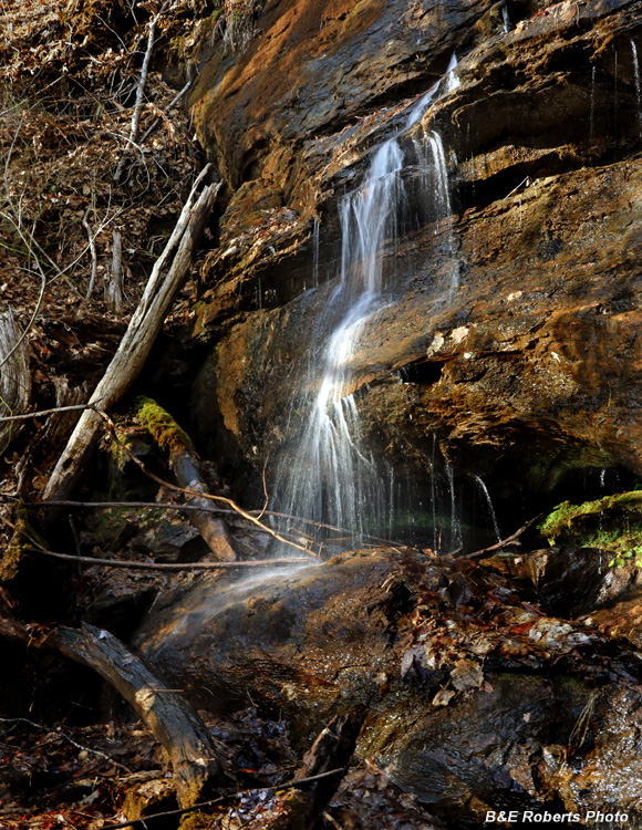
| Water flowing down the gorge tumbles over the cliff. |
|
 |
|
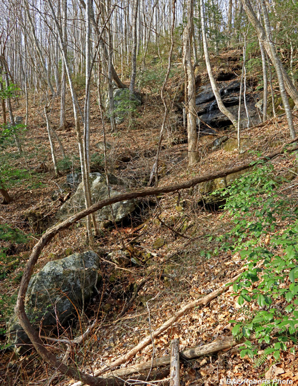
| Steep gorge with the previously pictured cliff face near the top. |
|
 |
|
| Another boulder below the aligned-boulder cliff. |
|
 |
|
| One more boulder further down as I was heading back. |