| Mica Mines - Gaddistown & Horseshoe Ridge Lumpkin & Union Counties, GA March 2025 |
All Text & Images: Copyright (2025) |
| Mica Mines - Gaddistown & Horseshoe Ridge Lumpkin & Union Counties, GA March 2025 |
All Text & Images: Copyright (2025) |
| This was a continuation of my February exploration & documentation of the old mica mines in the general vicinity of Cooper Gap Rd and the Gaddistown area. 1 - Thomason Mica Mine "This old mine is now badly filled... When visited by the writers (in 1943), the pegmatite was not exposed and very little mica could be seen in the dump. Mr. G. W. Gooch reports that this mine was operated between 1907-1908 by James Gooch for the Pitner Mica Mining Company. The mica around the mine is curved, cracked, and badly ruled. Most of it is "A" mica with a small amount of "ribbon". The mica is clear and light rum in color. The mine consists of an open pit and one short incline on a narrow pegmatite dike." It took me a while to locate this mine; the directions and location in the old reports were WAY off. But thanks to LIDAR I was able to find it. 1A- South Works: |
|
 |
|
| There were two areas worked here, separated by about 150 yards. I believe that the South Works is the one described in the reports. |
|
 |
|
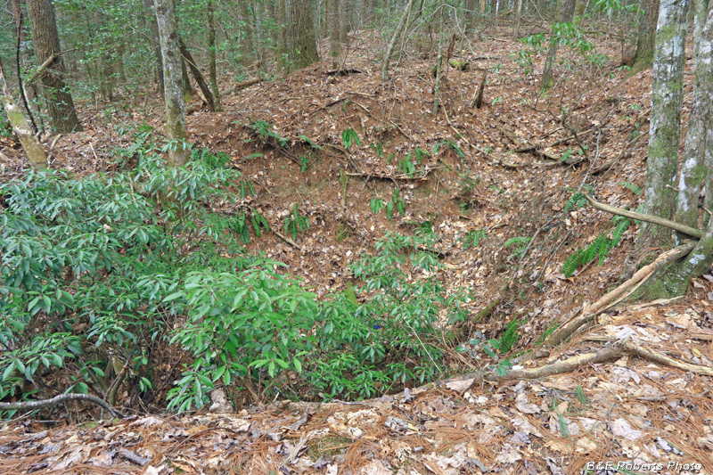
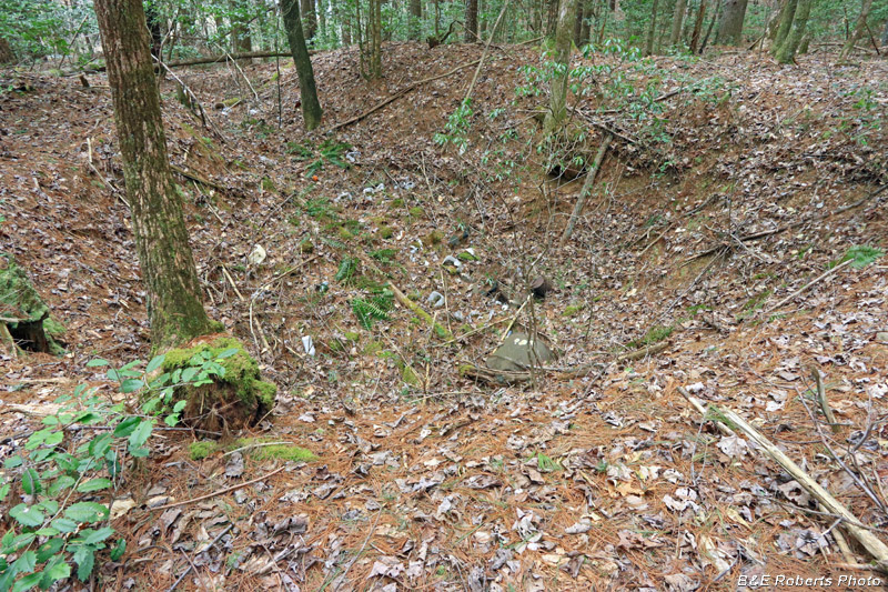
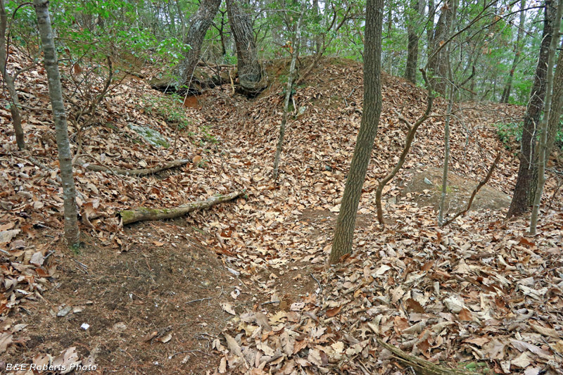
| Main Pit |
|
 |
|
| Main Pit, from the other side |
|
 |
|
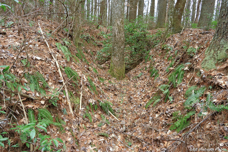
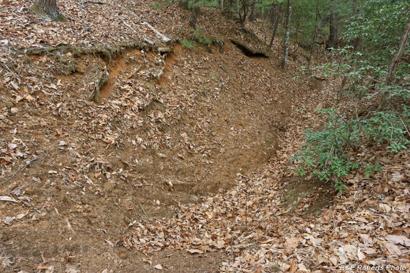
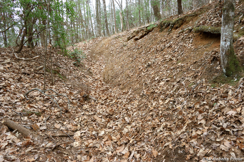
| Incline trench |
|
| 1B- North Works: |
|
 |
|
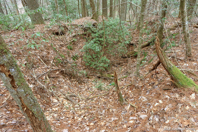
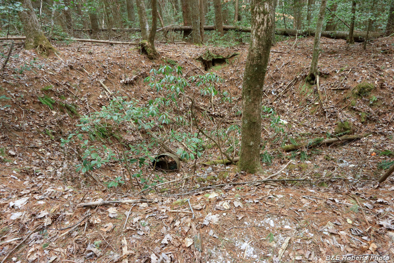
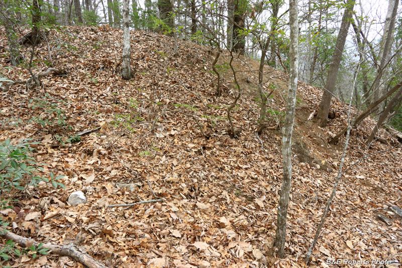
| Large pit at the North works... with trench leading to it at upper left. It appeared to have been used as a dump at some time in the past... |
|
 |
|
| Pit, from the other side side There were a couple of smaller prospect pits nearby, but I didn't photograph them. |
|
| 2 - Two Unknown Prospects I had noticed two trenched mine sites on LIDAR in the upper Horseshoe Ridge area. I couldn't find any mention of these sites in the old reports, but the locations of some of the mines & prospects can be vague, confusing or incorrect, so it's possible that one or both were described with the wrong location. 2A - West Prospect: |
|
 |
|
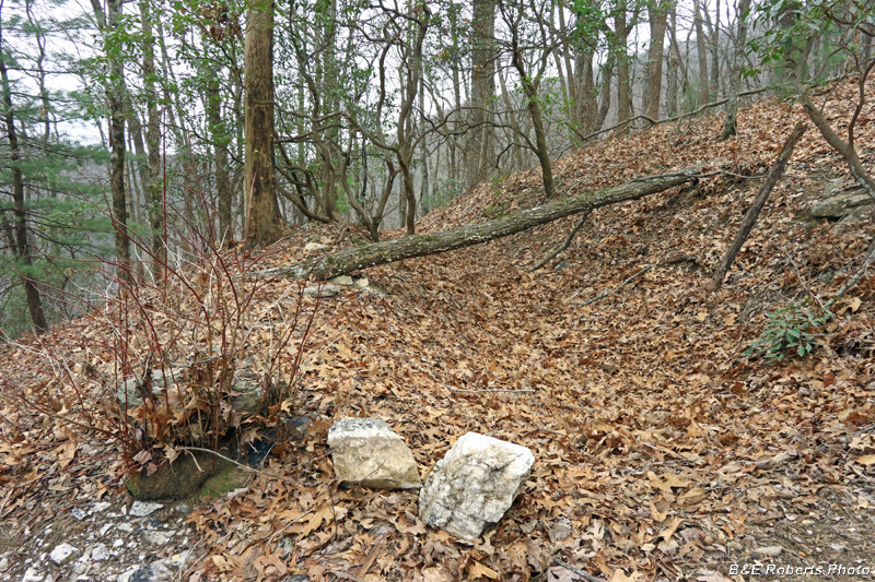
| This prospect consisted of a single trench running along the contour of a steep slope. |
|
| 2B - East Prospect: |
|
 |
|
| Upper cut of the East prospect |
|
 |
|
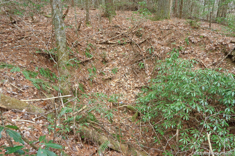
| Middle area of the East prospect with trenches and waste piles. |
|
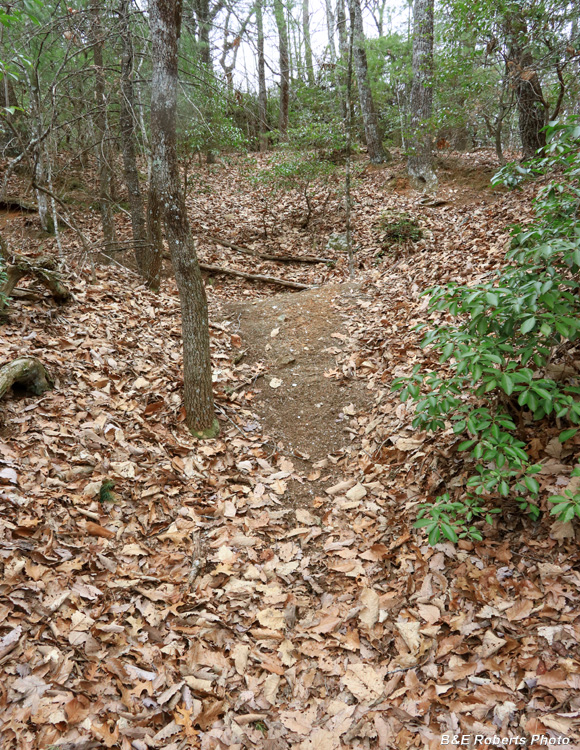 |
|
| A trail runs right through this prospect, causing heavy erosion. |
|
 |
|
| Waste pile, at the lower end of the prospect |
|
 |
|
| Back at the other side of the Upper cut. |