| Mica Mines - Cooper Gap Rd. Lumpkin & Union Counties, GAFebruary 2025 |
All Text & Images: Copyright (2025) |
| Mica Mines - Cooper Gap Rd. Lumpkin & Union Counties, GAFebruary 2025 |
All Text & Images: Copyright (2025) |
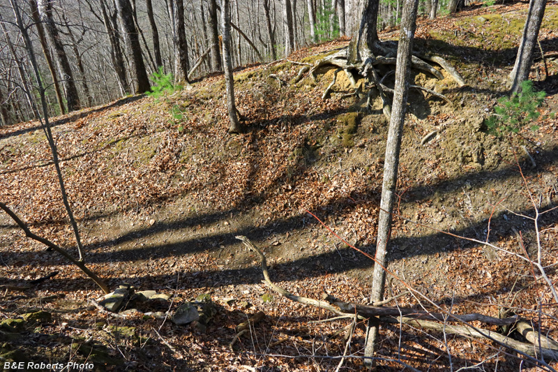
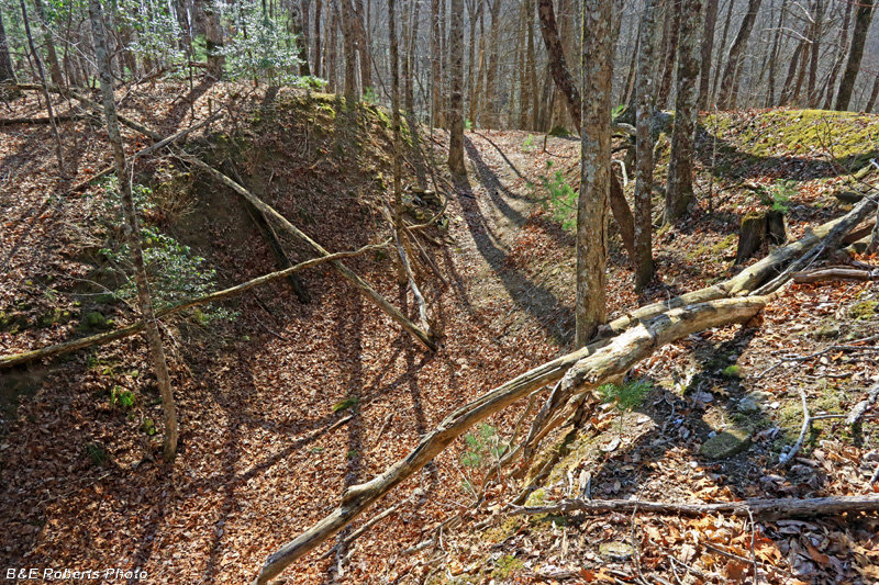
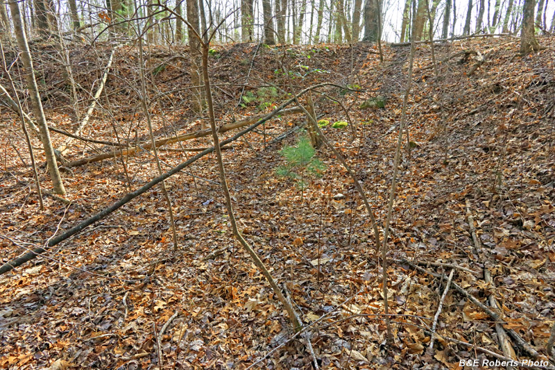
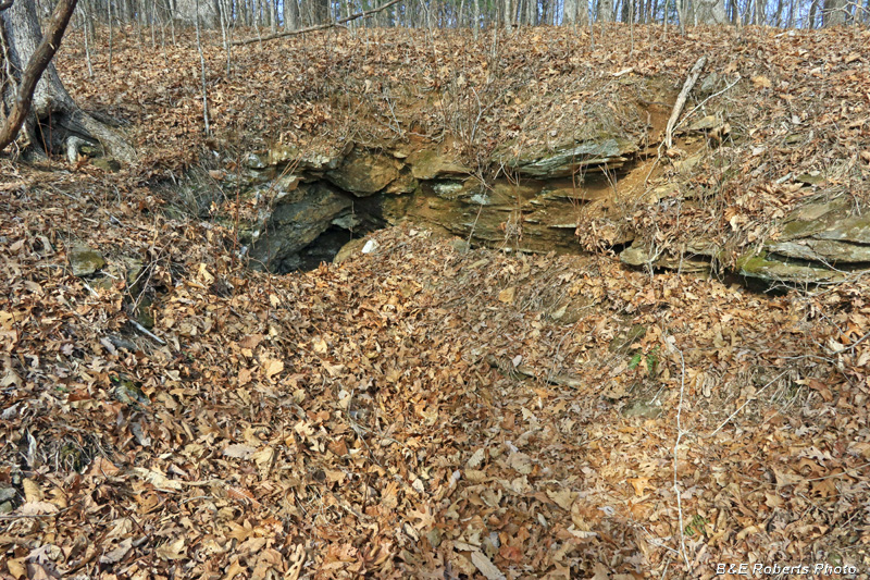
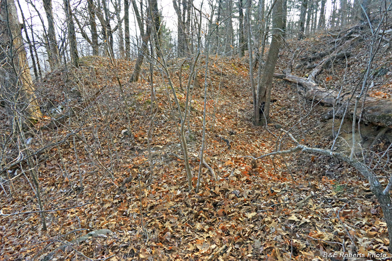
| Between the old mining reports and perusing LIDAR, I had identified possible locations for nine old mines/prospects. I found the first seven, but ran out of time before visiting the other two. 1 - Eph Lee Mine In 1915 it was reported that "this is a mine older than most of those in the district. The workings consist of an irregular shaped pit from which a 40 ft. tunnel has been driven." In 1942, "the works consisted of a partly filled conical shaped hole 20 ft. in diameter and about 10 ft. deep. There are two outlet trenches, one 20 ft. long striking NE; another 15 ft. long strikes SW." As with many of these old mines, the descriptions from over 100 years ago bear little resemblence to what is seen today. Many tunnels were opened up by large cuts, while others caved in, in subsequent years. |
|
 |
|
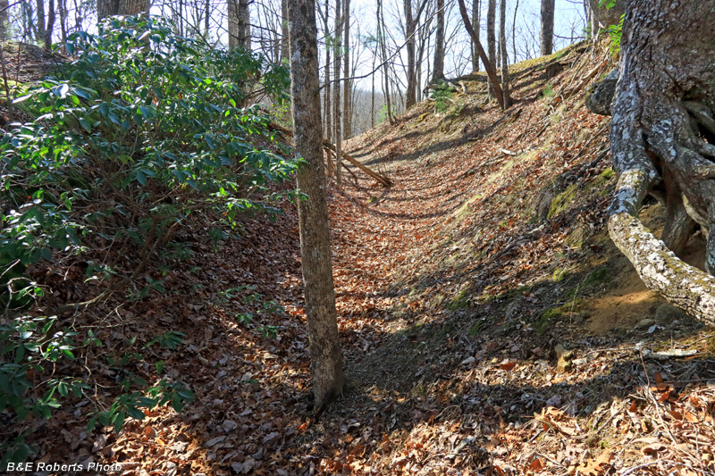
| East side entry into the open mine cut |
|
 |
|
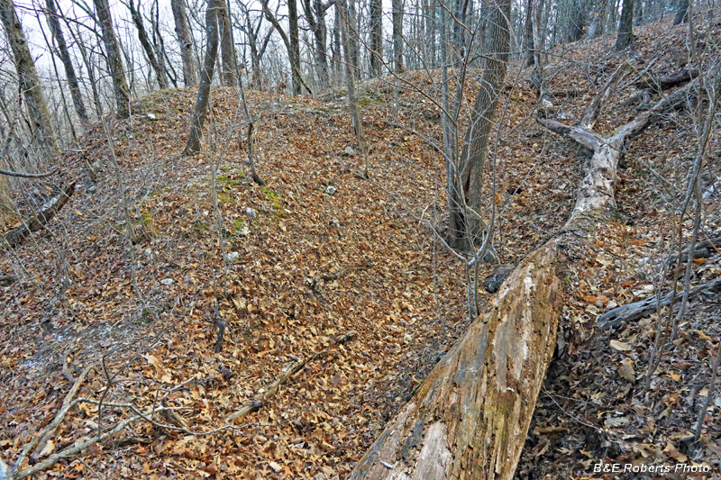
| I started walking around (above) the mine cut in a clockwise direction. |
|
 |
|
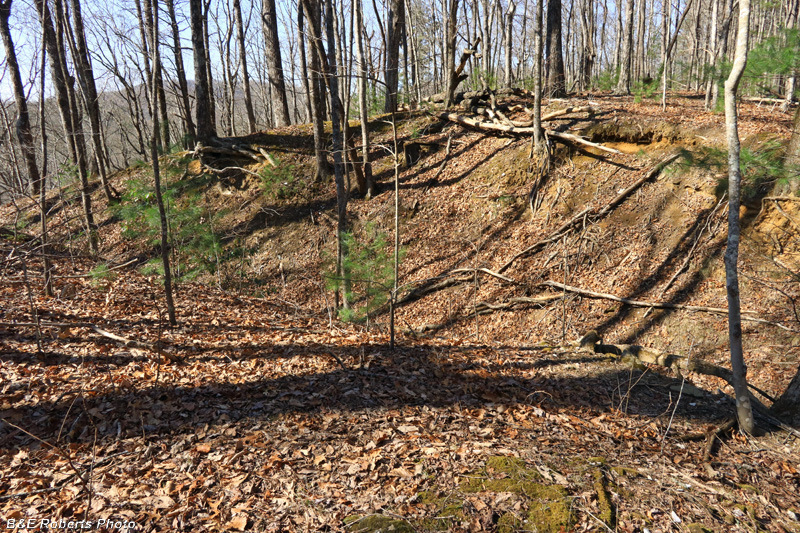
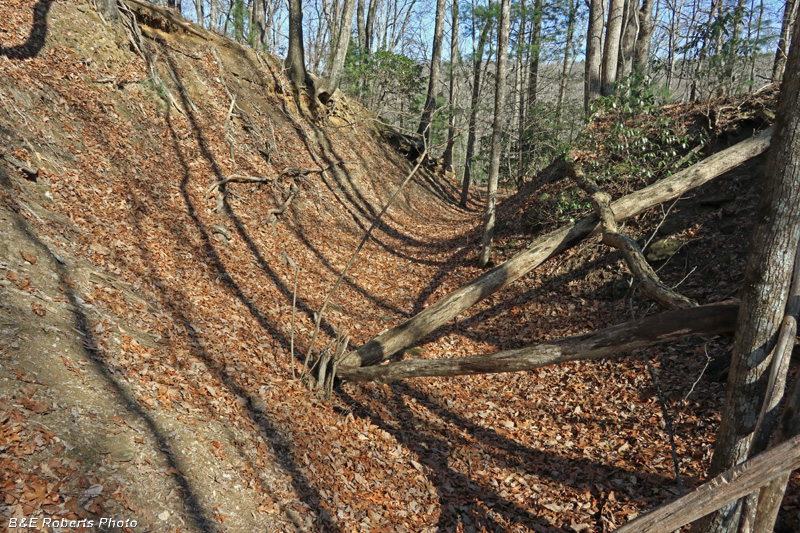
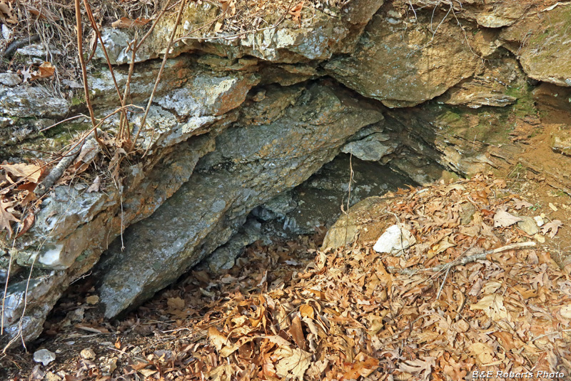
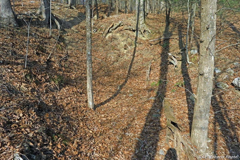
| View into the large mine cut. |
|
 |
|
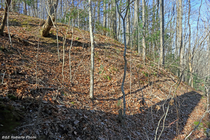
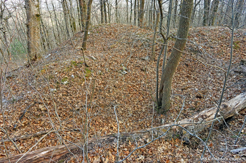
| Looking across the cut |
|
 |
|
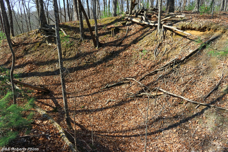
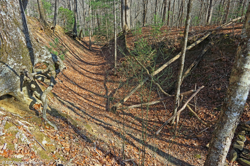
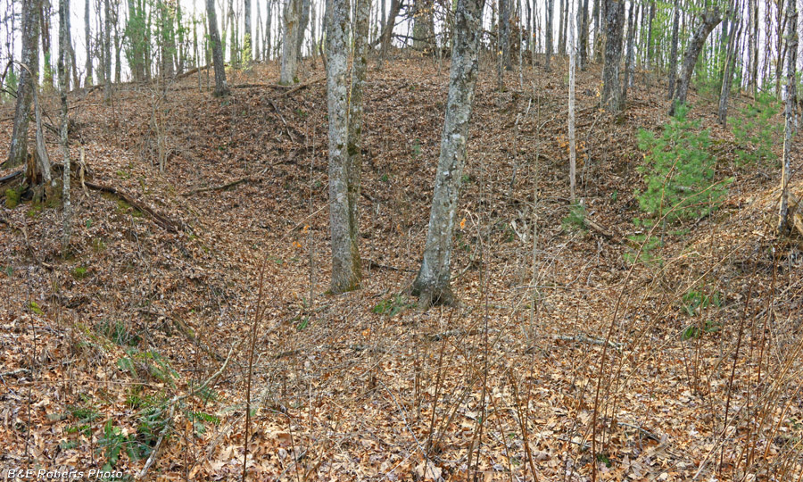
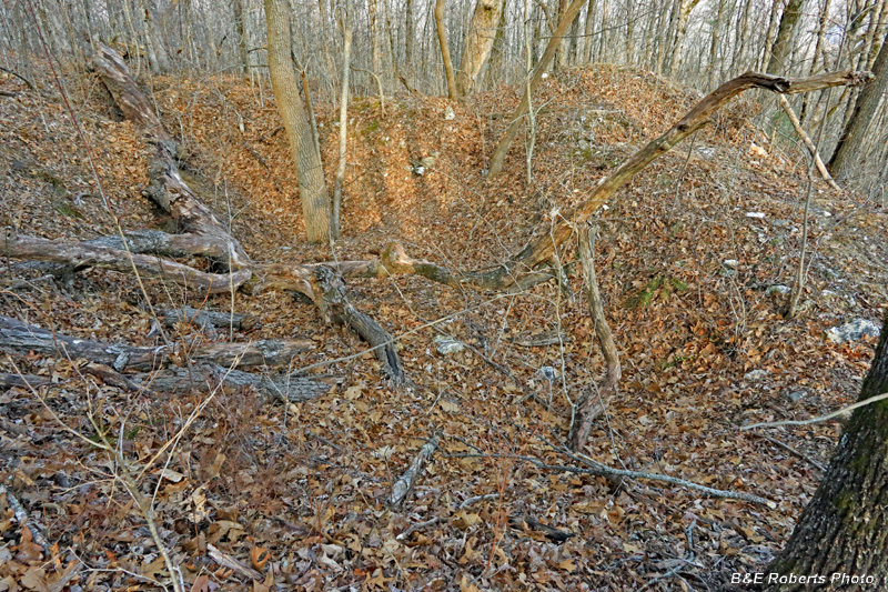
| Nearing the end of the largest mine cut |
|
 |
|
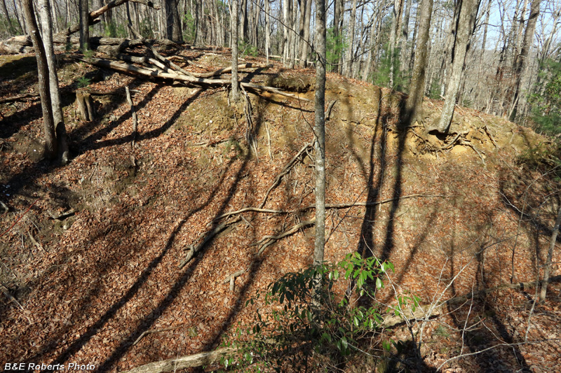
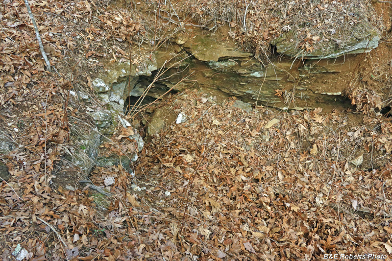
| Smaller pit on the southwest side |
|
 |
|
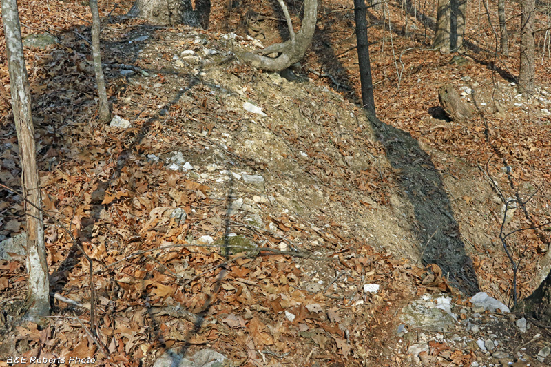
| Rock waste pile on the SW end of the cut |
|
 |
|
| View into the mine cut from the western end |
|
 |
|
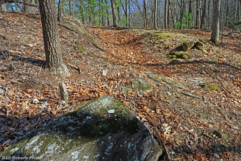
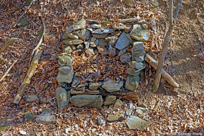
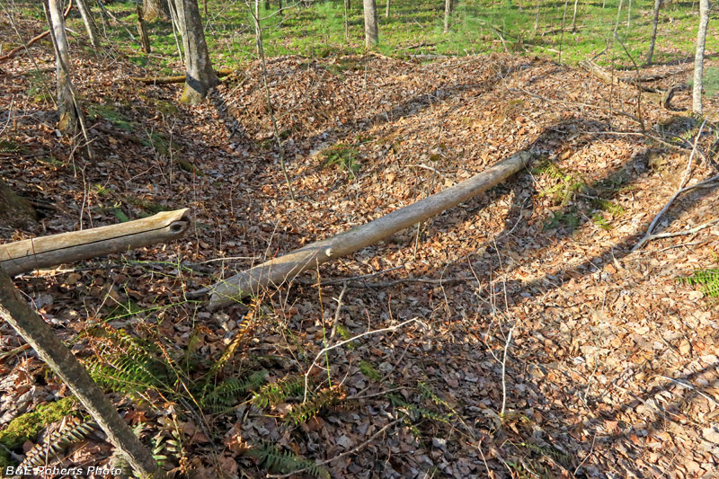
| Someone built a camp fire place in the side of the cut |
|
 |
|
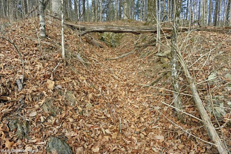
| Further into the cut... |
|
 |
|
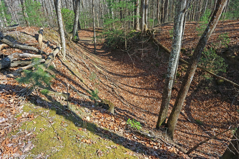
| I turned around and started up the other side of the cut... |
|
 |
|
| Further on, looking toward the east end of the cut |
|
 |
|
| Looking back toward the south-west |
|
 |
|
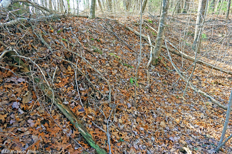
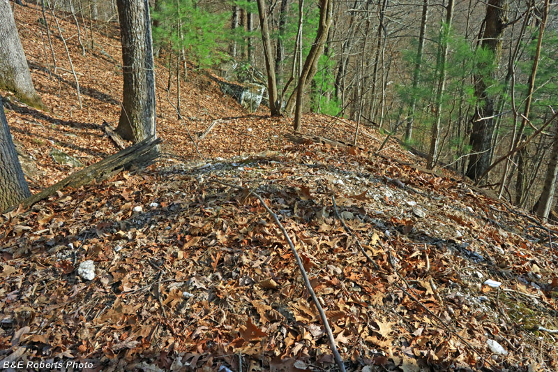
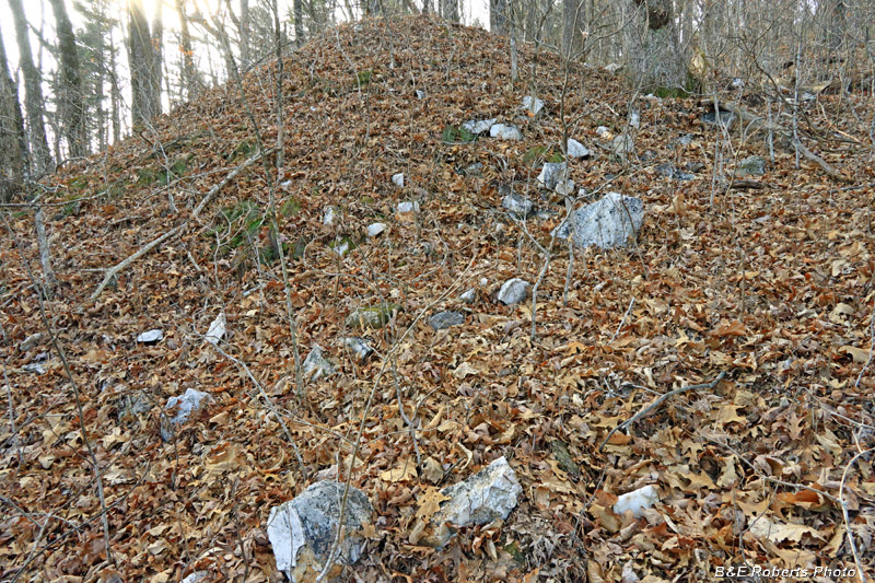
| Back at the start, a large waste pile sat across the road. |
|
 |
|
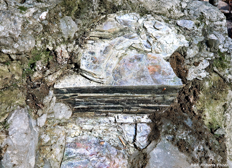
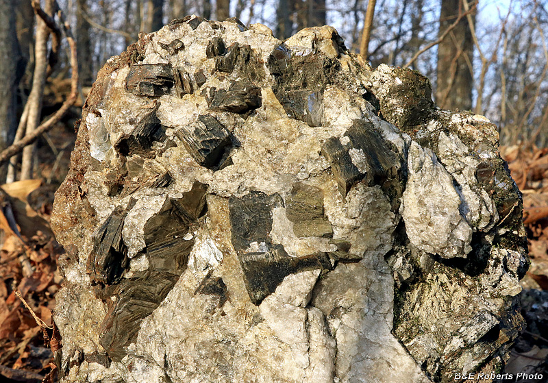
| A book of Mica, about 3/4 inch thick, in quartz. It might contain 20-100 individual mica sheets, depending on plate thickness. Seen in one of the Eph Lee Mine waste piles. |
|
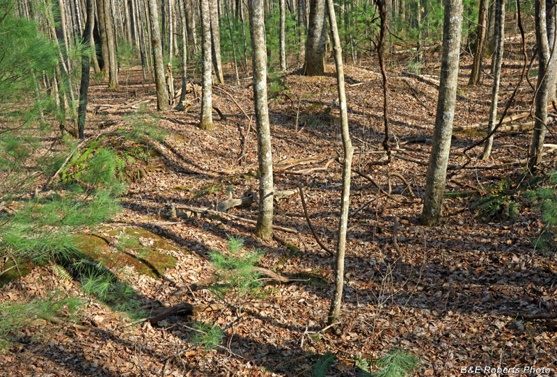
| 2 - Ward Gap Mine This mine was worked in 1907 and 1908 by J. L. Ingram for the Pitner Mica Mining Co. It was mainly an irregular open pit with a crooked incline extending into the south wall. |
|
 |
|
| The front of this mine is a wide, shallow cut, 5-6 feet deep |
|
 |
|
| The shallow cut extends over an area of about 150 feet diameter. |
|
 |
|
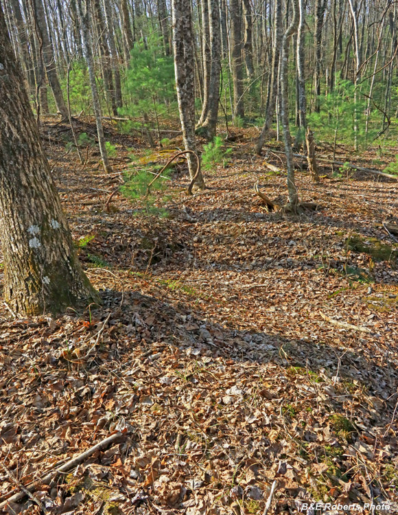
| To the rear are a series of trenches... |
|
 |
|
| and mounds... |
|
 |
|
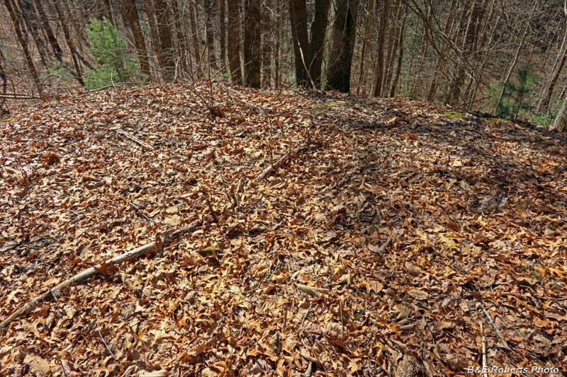
| Disturbed area below the wide shallow cut... |
|
| 3 - Two Locust Gap Prospects Two parallel trenches, about 100 ft. apart, are located here; dug about 1906. The works had been long abandoned by 1940 and do not appear to have been extensive. Mica from the two prospects was reported to have been similar. |
|
 |
|
| Prospect 1 |
|
 |
|
| Closer view of the head of the cut. |
|
 |
|
| Prospect 1 from another angle. I was able to insert a stick down some ways through the leaves. |
|
 |
|
| Open cut at Prospect 2 |
|
 |
|
| Further up into the cut |
|
 |
|
| You can see where the prospectors cut out the pegmatite between the rock ledges on either side here. |
|
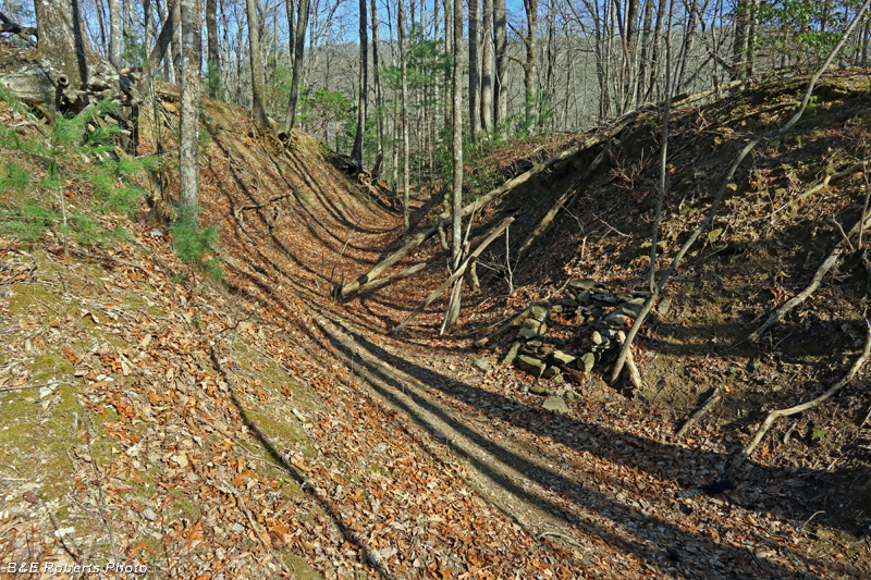
| 4 - The Green Vein In 1915, a series of 3 hillside pits, one above the other, uncovered an irregular, vertical dike varying in width from 1 to 5 feet. When seen in 1923, this mine was opened by a cut 20 feet deep and 40 feet back into the mountain-side. After 100 years, it is now a series of partly- filled pits connected by a wide trench running down the steep slope of the ridge. The mica was greenish in thicker books, giving the mine its name. |
|
 |
|
| View down from the upper pit |
|
 |
|
| Further down... |
|
 |
|
| Waste rock along the side |
|
 |
|
| Looking up the length of the trench |
|
 |
|
| Waste quartz and mica |
|
| 5 - The Ward Prospect Work here was done by T. J. Stevenson, of Dahlonega, in September, 1942. The prospect consisted of an "L-shaped" open cut driven through the pegmatite, and of a 15-foot drift. The open cut was from 8-10 ft. wide but narrowed to 6 ft. at the head of the drift. The cut is noticeably larger at present and there is no sign of the drift. |
|
 |
|
| Cut at the Ward prospect. |
|
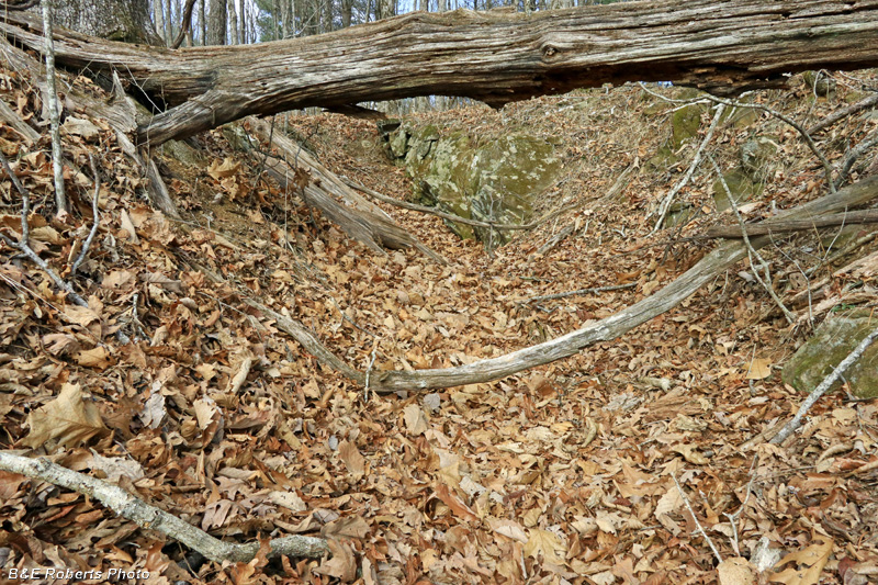
| 6 - The T.H. McDonald Prospect This opening was made on a steep wooded slope about 300 ft above the road. A considerable amount of mica, mostly scrap, was obtained from this opening about 15 feet deep which was made in 1942. All of the books contain a dark stain arranged in a pattern to produce the effect of grating when examined by transmitted light. The pattern produced in this mica is described from some other mines in Fannin & Cherokee Co's, where it is termed "house roof" by the miners. |
|
 |
|
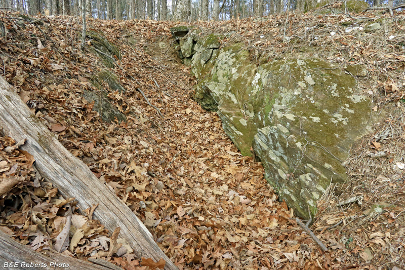
| The main cut is on the right, with the waste pile at left |
|
 |
|
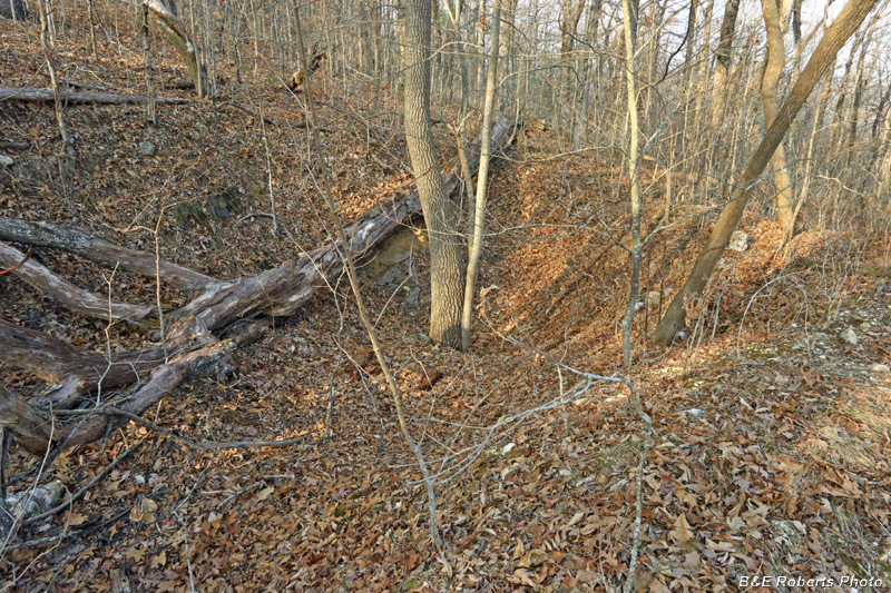
| Walking around the cut in a counter-clockwise direction. The big old deadfall tree is laying smack in the middle of the mine cut. |
|
 |
|
| Waste pile |
|
 |
|
| View across the mine cut toward the excavated waste pile. |
|
 |
|
| Small mica books in quartzite |
|
 |
|
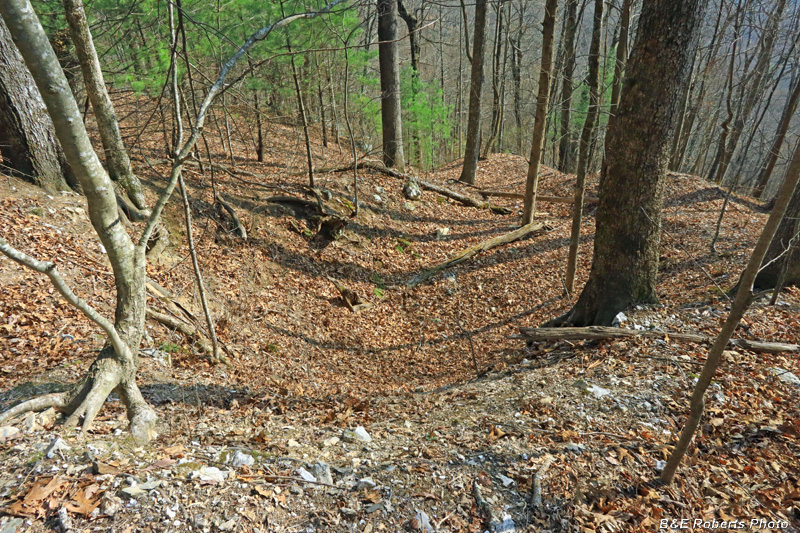
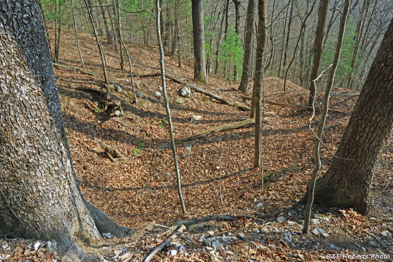
| This cut was rather large as prospects go... |
|
 |
|
| Prospect waste pile, with lots of quartz |