 |
Lemons Gap, via Beech Flats - Jan 2019 Southern Nantahala Wilderness Area |
All Text & Images: Copyright (2018-2019) |
 |
Lemons Gap, via Beech Flats - Jan 2019 Southern Nantahala Wilderness Area |
All Text & Images: Copyright (2018-2019) |
| The Georgia Conservancy's Guide to the North Georgia Mountains states "There are reported Indian petroglyphs on a rock on the trail to Lemons Gap." I had searched for this rock a year ago, with no luck. This page documents two additional search expeditions, the second of which was successful. 1 - First Expedition, November 2018 Searching along the old trails and logging roads... |
|
 |
|
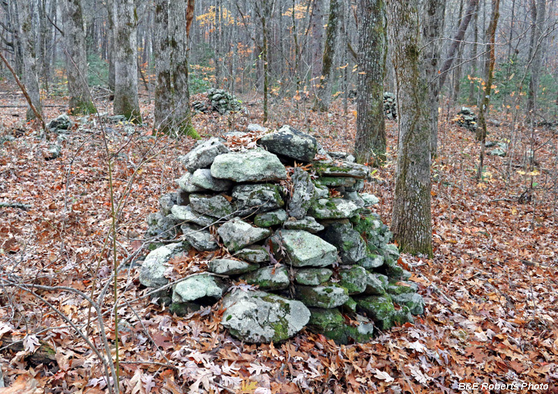
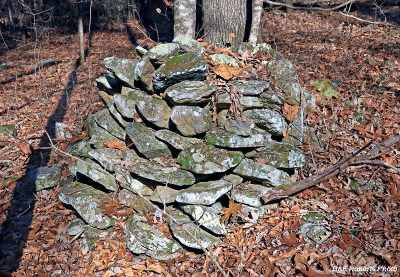
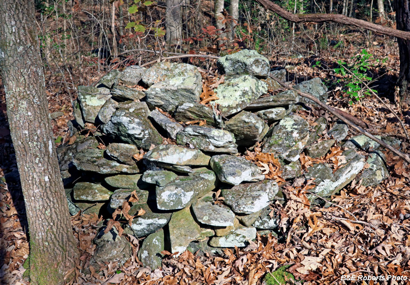
| The lower trail passes through a complex of dozens of rock piles. |
|
 |
|
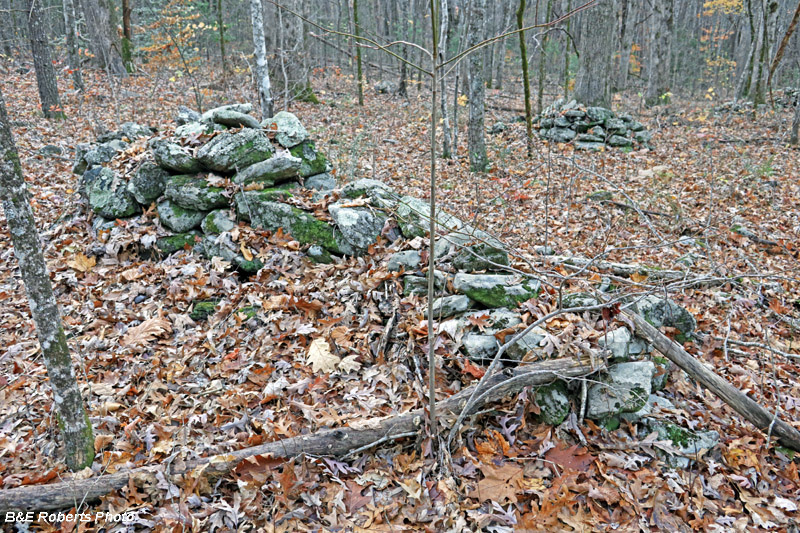
| Section of a stone wall |
|
 |
|
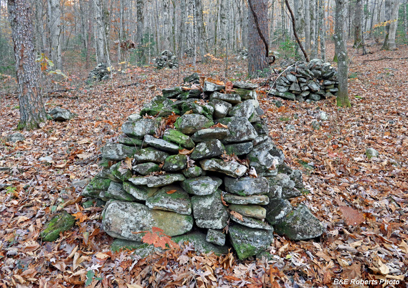
| I had first encountered these rock piles back in April on a hike with Jess R. |
|
 |
|
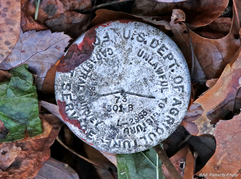
| Benchmark at the GA-NC state line |
|
 |
|
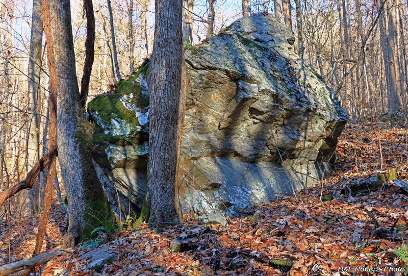
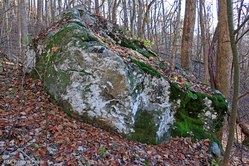
| I examined dozens of rocks looking for any sign of the petroglyphs. These are a few of the larger boulders seen as the slopes became increasingly steeper. |
|
 |
|
| The terrain was getting steep, and I was still recovering my strength after some recent surgery. With the sun getting low, I eventually had to return back down the mountain. |
|
| Not long afterwards, I heard from a retired USFS friend, who told me that he and a buddy had come across a carved rock near Lemons Gap. He texted a photo; the rock had incised lines that looked almost like a map. 2 - Second Expedition, January 2019 On a cold winter day, I made another trek up to the Southern Nantahala's high ridge at Lemons Gap. Reaching the ridge crest requires a steep, rugged climb; the route of the old settlers trail has mostly disappeared, replaced with faint remnants of overgrown logging roads. |
|
 |
|
I took a few more photos as I passed through the rock pile complex... |
|
 |
|
With a long, steep climb ahead of me, and not knowing what I might find (or not find) for trails in the upper region, I didn't take any more photos until I reached the High Cove Ridge line. |
|
 |
|
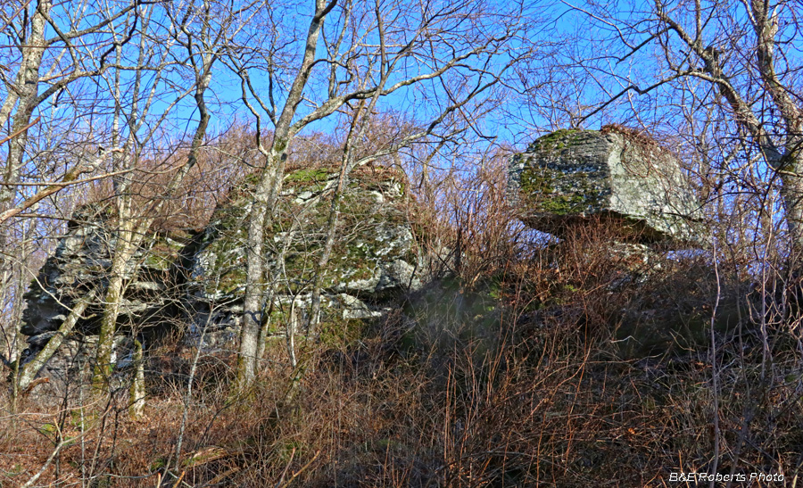
| Huge boulders near Lemons Gap. I especially liked the big balanced rock on the right. |
|
 |
|
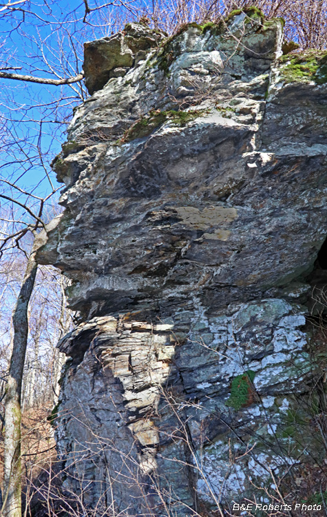
| Cliffy rock outcrop. I thought this looked like the head of a devil, with its two horns snapped off! |
|
 |
|
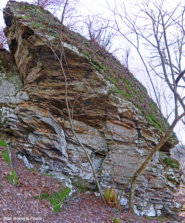
| Jagged boulder outcrop near Lemons Gap. There was a lot of interesting geology up here! |
|
 |
|
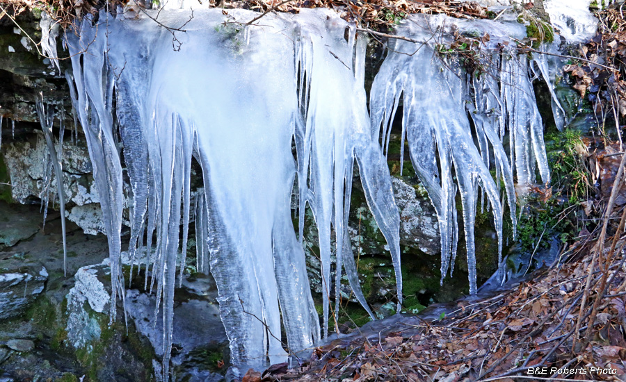
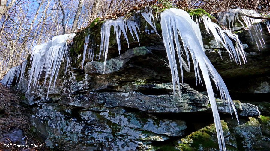
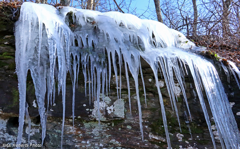
There were lots of icicles clustered on the rock outcrops... |
|
 |
|
 |
|
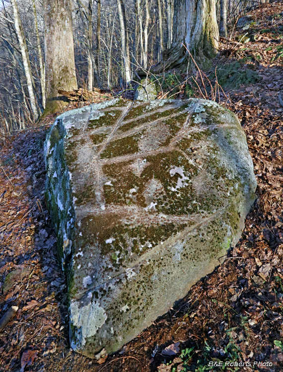
| I suspect that this is the "petroglyph" rock. It appeared (to my uneducated eye) to have a map incised on the surface. |
|
 |
|
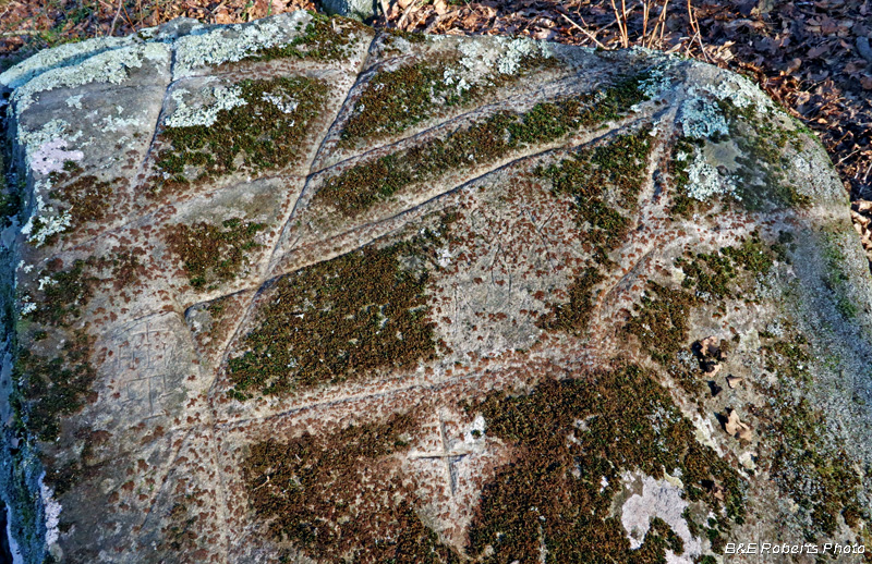
| I brushed moss off the incised areas with a nylon brush to better show them. The carved lines are 1/4-3/8 inch deep. If not a map, I'm not sure what is the significance of the lines. |
|
 |
|
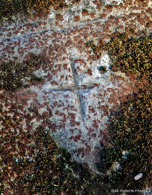
| "Cross" decoration on the rock. |
|
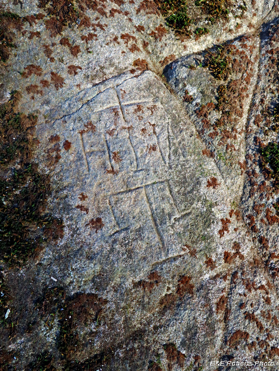 |
|
| There were also signs of modern-day carving on the rock. These are considerably shallower, as if made with a knife or screwdriver. |
|
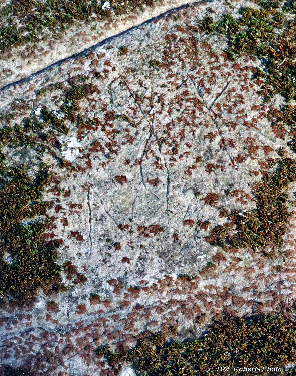 |
|
| More recent scrawling (i.e. vandalism) on the rock. |
|
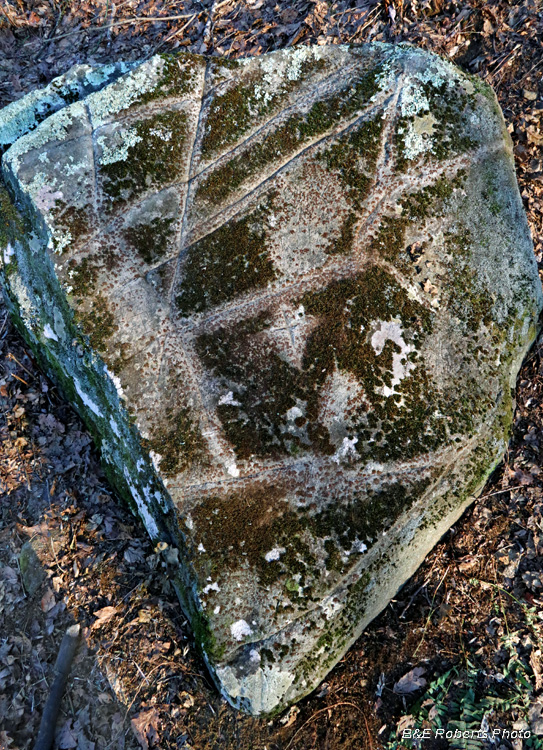 |
|
| One more view, looking straight down on the rock surface. I've since been told that there is at least one other carved rock in the area. If so, I have not found it... |
|
 |
|
More icicles |
|
 |
|
 |
|
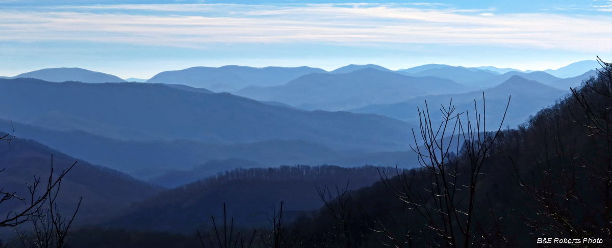
| View south from an outcrop near Lemons Gap |
|
 |
|
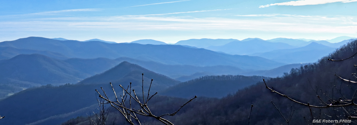
| Another more or less southerly view. |
|
 |
|
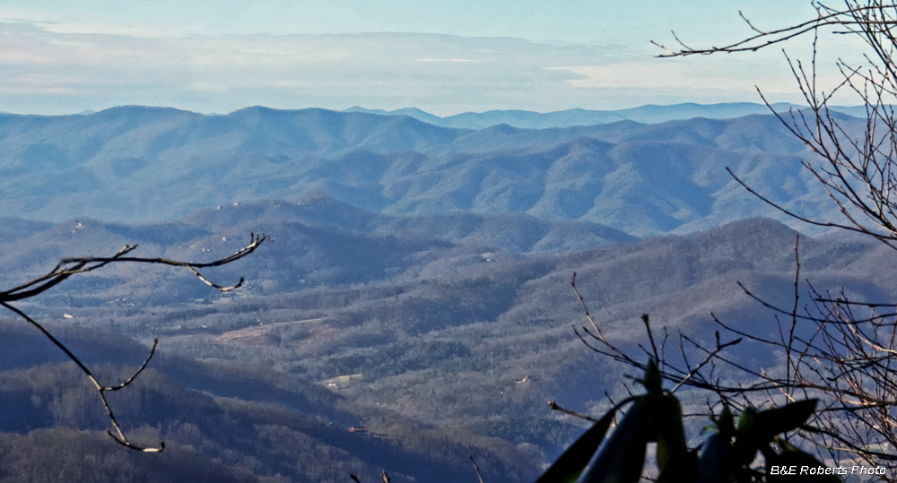
| View to the NW, towards the Tusquitee Range. |
|
 |
|
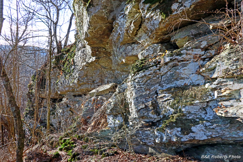
| South-facing cliff wall near Lemons Gap. |
|
 |
|
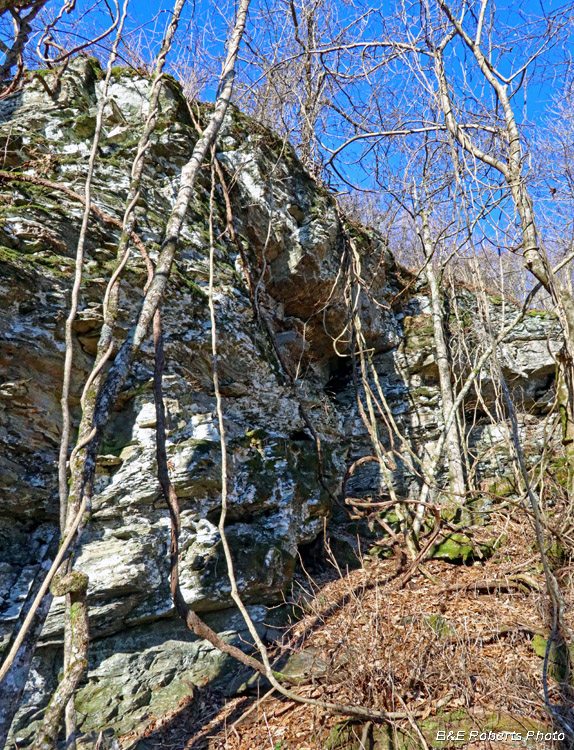
| Same cliff wall, looking back in the opposte direction, where I had descended along the base. |
|
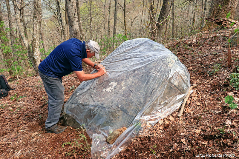
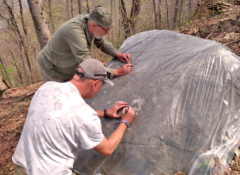
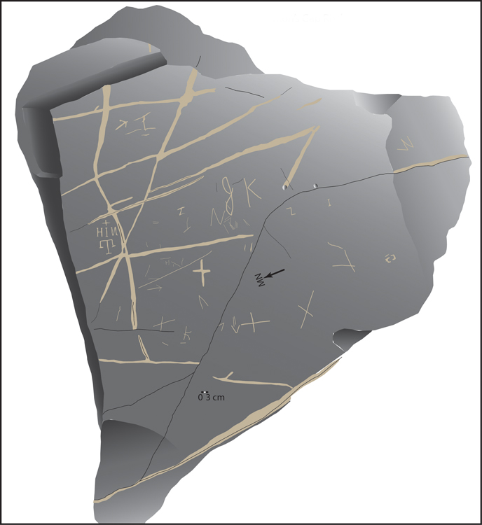
| ADDENDUM: In April 2019, I led my friends Alan Cressler and Jannie Loubser up the mountain to examine the petroglyph rock. We made a tracing, which Jannie later converted to a graphic rendering. I didn't take many photos of the rock, since I had shot it before. |
|
 |
|
| Jannie demonstrated the tracing technique, then Alan and I pitched in to help. |
|
 |
|
| Alan and I tracing... (photo by Jannie) |
|
 |
|
| Completed rendering of the rock carving. |
|
| Click here for complete album (mostly wildflowers) from that April 2019 trek... (Page will open in a separate tab.) |