 |
More Rock Piles/Mounds A large group of stone structures in the Chattahoochee National Forest |
All Text & Images: Copyright (2018) |
 |
More Rock Piles/Mounds A large group of stone structures in the Chattahoochee National Forest |
All Text & Images: Copyright (2018) |
| The rock pile-mound complexes found throughout the Southeast are often controversial, with much debate ranging over whether their origins are from the historic or pre-historic time periods. While some have been shown to be associated with Native Americans, many were the result of early settlement land clearing for farming, etc. Others are just plain mysterious. A retired US Forest Service friend came across this series of stone assemblages in a rugged mountainous area 40 years ago while doing a pre-logging survey. We found a half dozen individual groupings-clusters, with combinations of stone mounds, piles, and terrace walls at each one. Much of the specific area contains underlying bedrock and ledge, which seemed to preclude farming occurring there in the past, although the early settlers were known to farm some pretty rough areas. As a side note, Georgia does not have a history of the rock wall-fences that are common in New England and a few other areas. |
|
 |
|
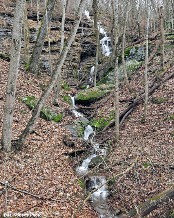
| Hiking in, we passed a tall waterfall that was flowing nicely, thanks to recent rain. |
|
 |
|
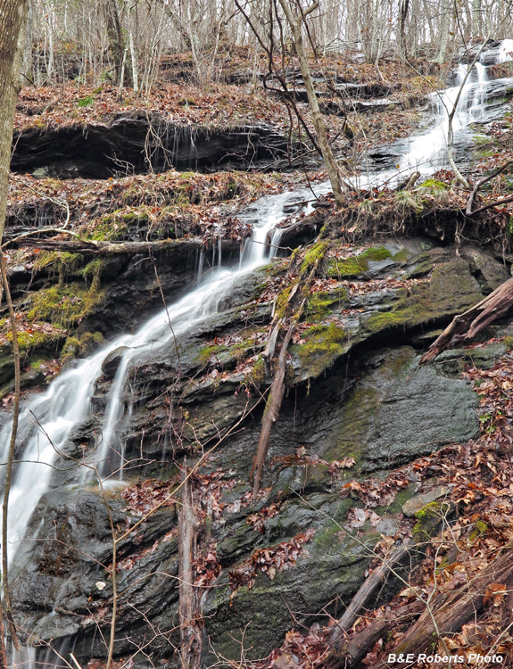
| Portion of the upper falls |
|
 |
|
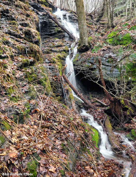
| Middle section of the falls |
|
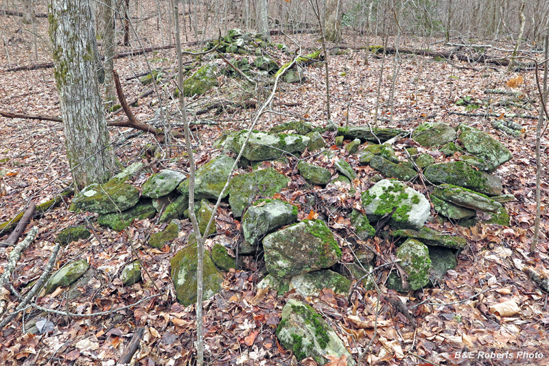
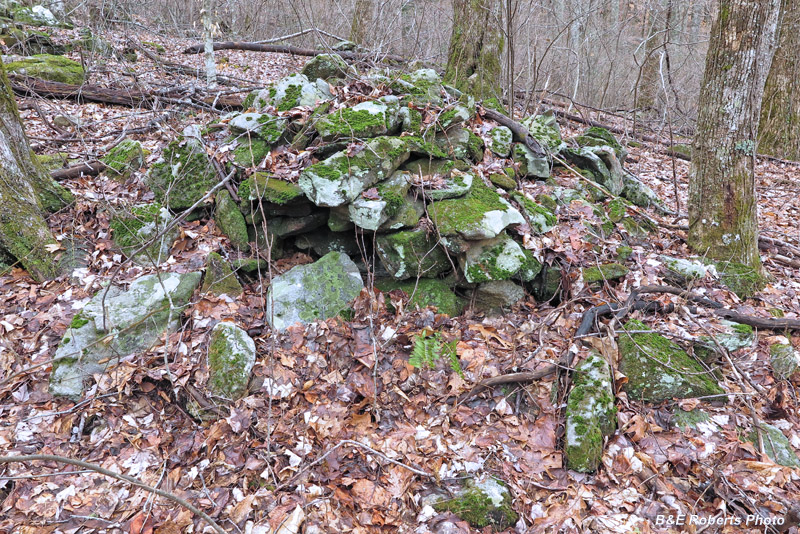
| The following images illustrate just a few representative examples from the various stone structure groups. Cluster A: |
|
 |
|
| Examples from the first grouping of stone piles that we encountered |
|
 |
|
 |
|
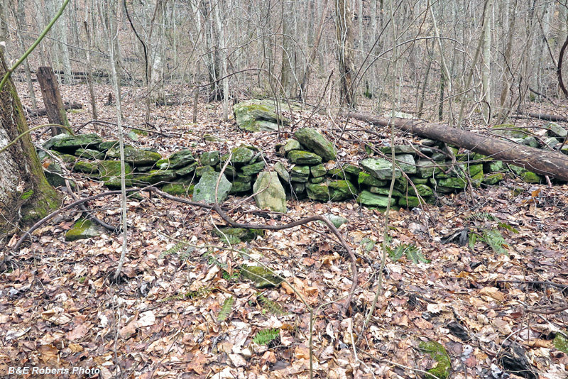
| A section of one of the terrace walls. Boulders and ledge above the terrace would have made for difficult farming. |
|
 |
|
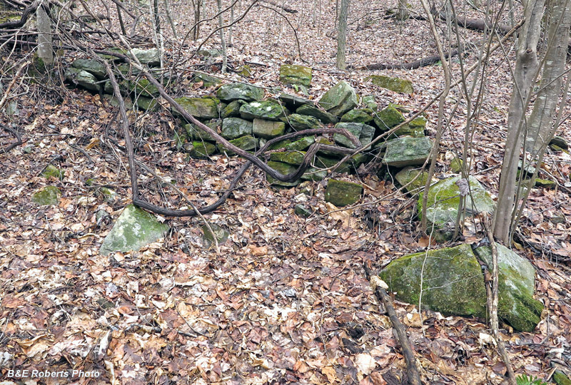
| Terrace wall, south end |
|
 |
|
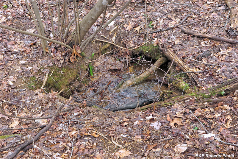
| Spring in a natural amphitheatre at center of the cluster |
|
 |
|
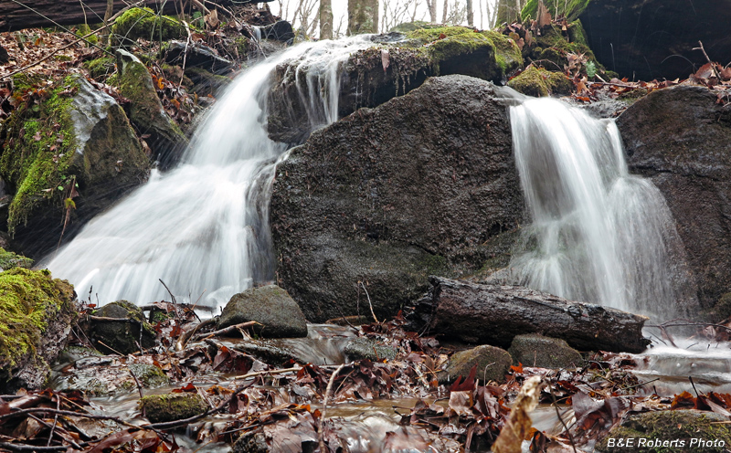
| A nice cascade on a lower tributary |
|
| Cluster B: This wasn't so much a cluster, but more of a sporadic grouping that occurred along a tributary. |
|
 |
|
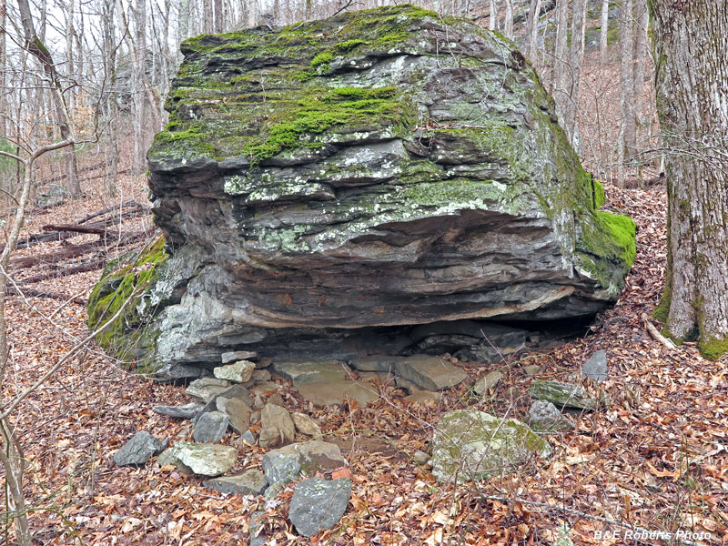
| This rock shelter/overhang had a (now fallen) side wall that someone had erected. |
|
 |
|
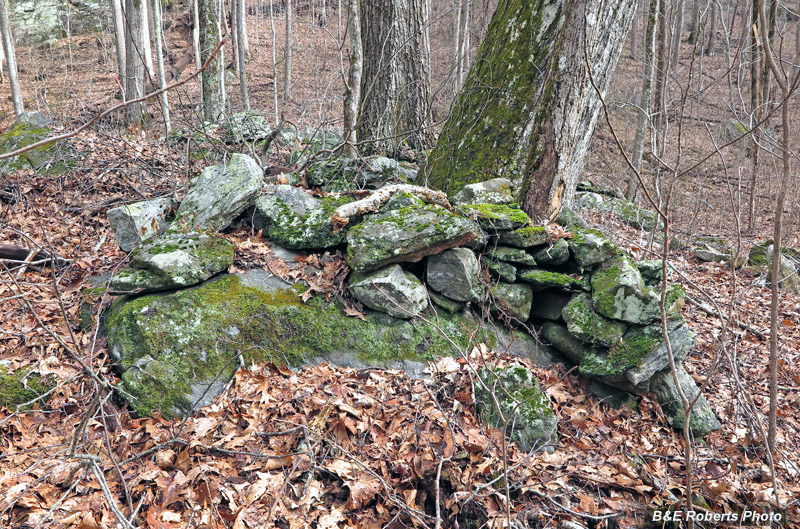
| Many of the piles consisted of rocks stacked onto larger boulders or bedrock. |
|
 |
|
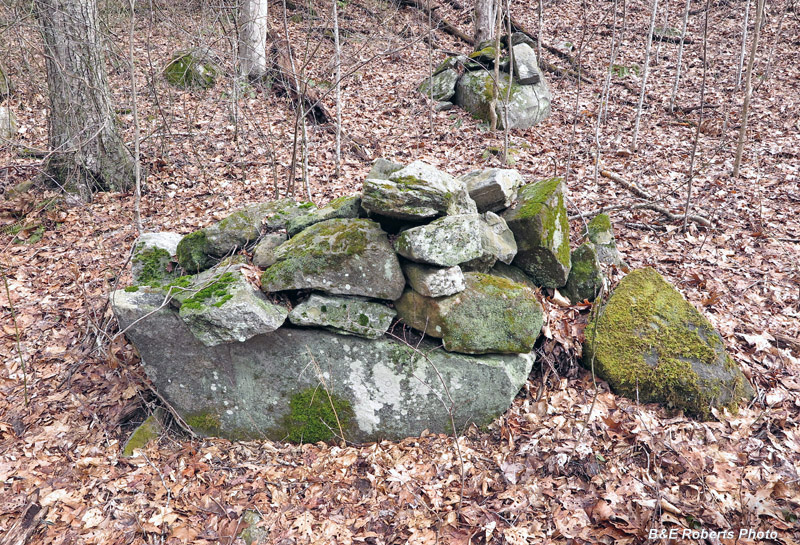
| I'm just including a few examples here, there were so many... |
|
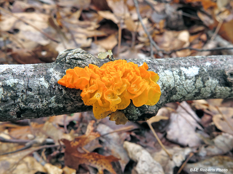 |
|
| Witch's Butter (Tremella mesenterica) |
|
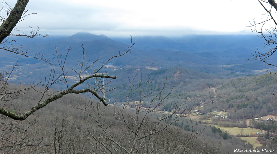 |
|
| A nice overlook view along a trail through the cliffs |
|
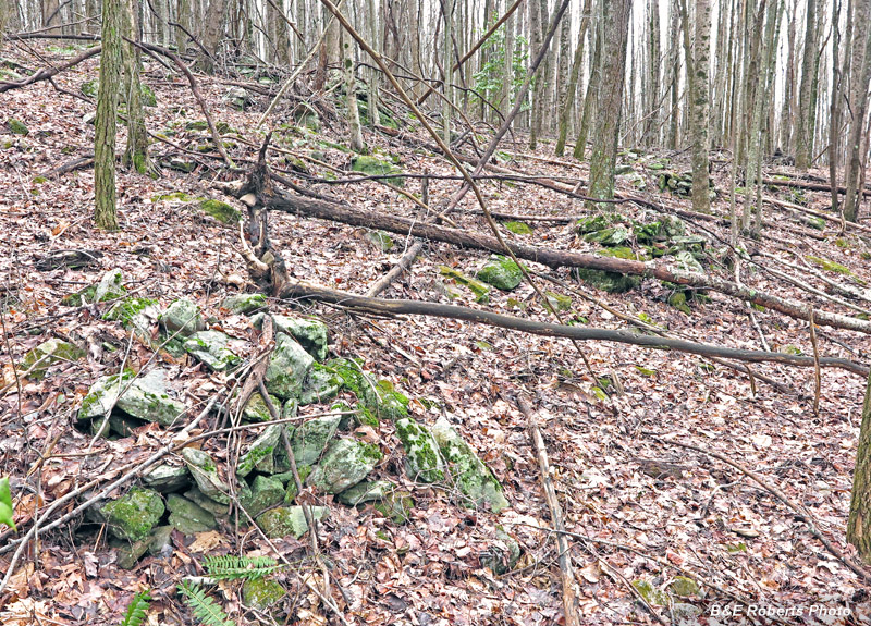
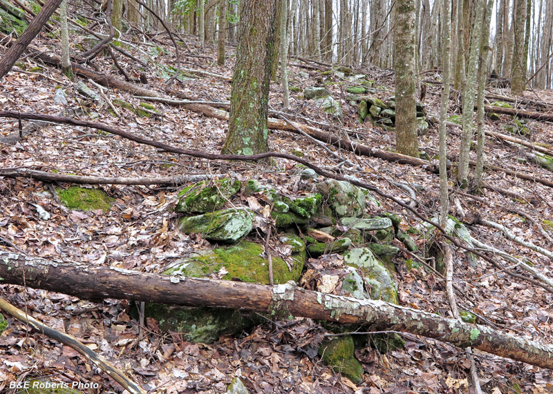
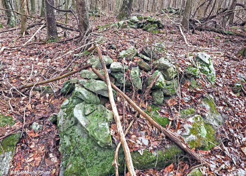
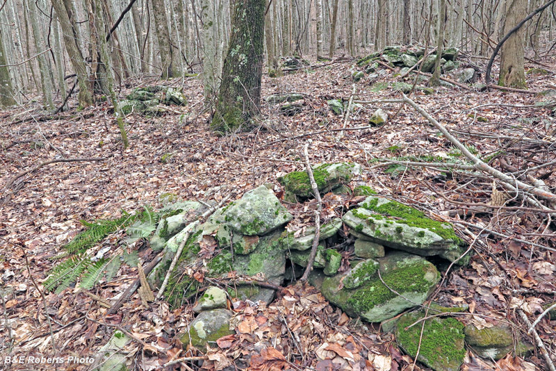
| Cluster C: This was the highest elevation grouping that we found. There were numerous rock piles in several rows, but the trees made it difficult to show the layout. |
|
 |
|
 |
|
 |
|
 |
|
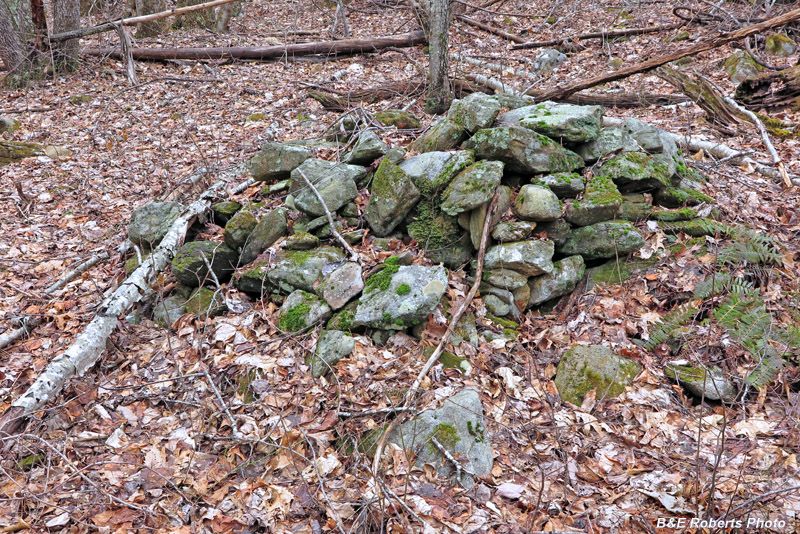
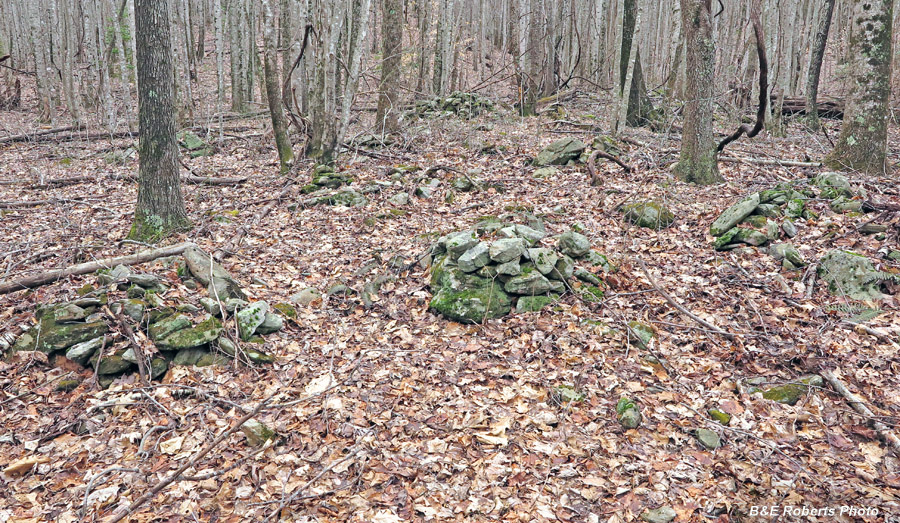
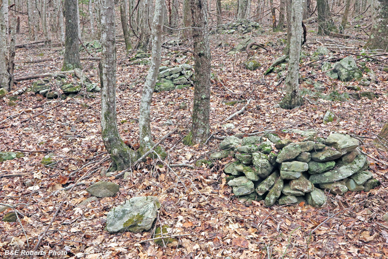
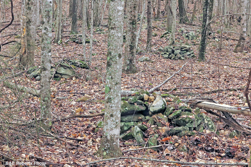
| Cluster D: This relatively flat site held the highest concentration of stone piles. A small creek branch runs alongside the area. |
|
 |
|
 |
|
 |
|
| The woods were fairly open here, making it easier to show sections of the group. |
|
 |
|
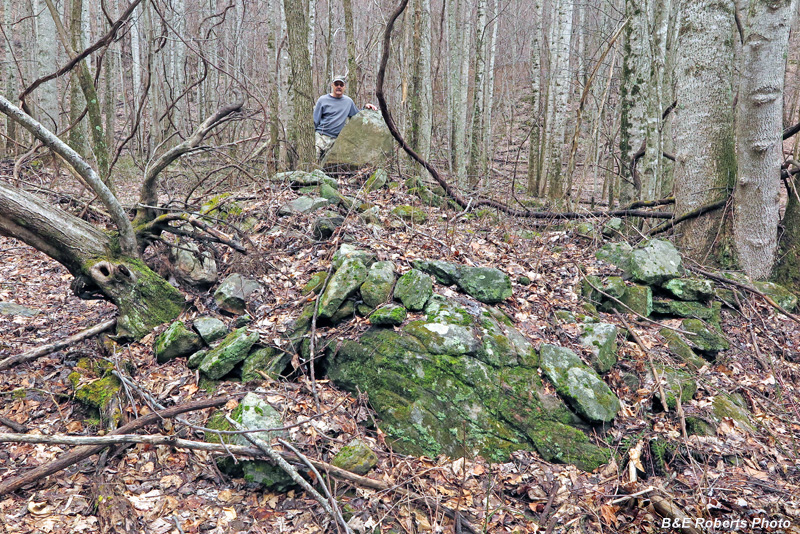
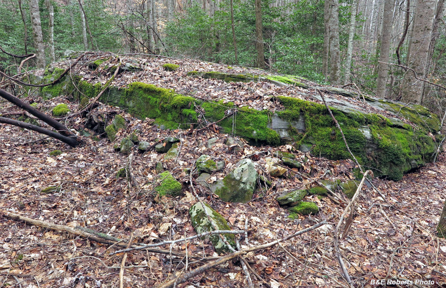
| Cluster E: The most interesting and mysterious cluster, situated at the center of the complex. |
|
 |
|
| A large, flat-topped oval mound, with large rocks stacked on top of a bedrock base. At one end was an upright stone that stood like an altar; Sheldon H. stands next to it for scale. The structure's form has been somewhat ruined due to blow-down of some large trees that had taken root in the mound. |
|
 |
|
| This was interesting - rocks here were piled up against the long sides of this large flat boulder / ledge. A lot of them have been knocked over or pulled down, perhaps by someone searching for something? |
|
 |
|
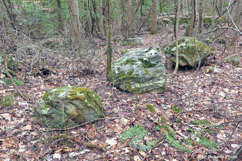
| A trio of large boulders, lined up between the "altar" mound and the long boulder (visible in background). |
|
 |
|
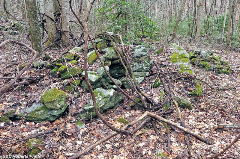
| One pile had a hollowed out area in the large base rocks... |
|
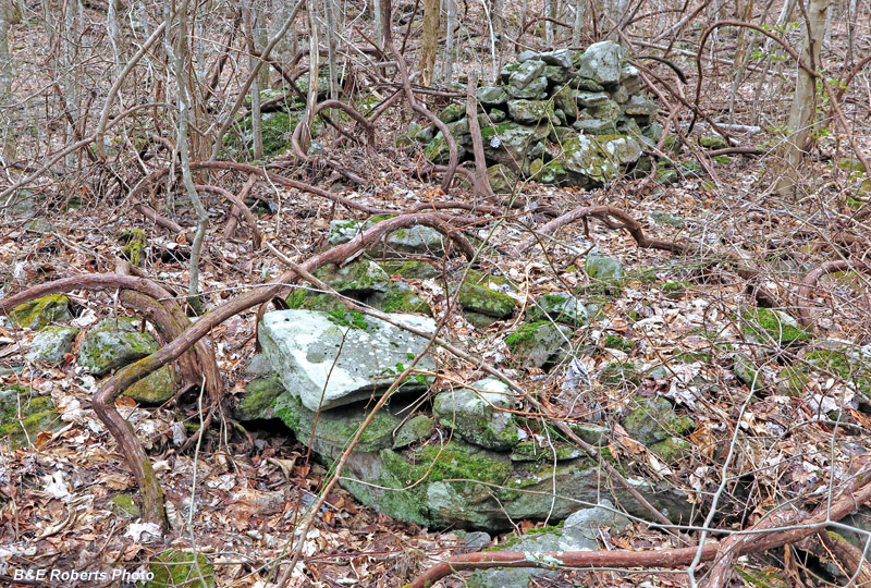
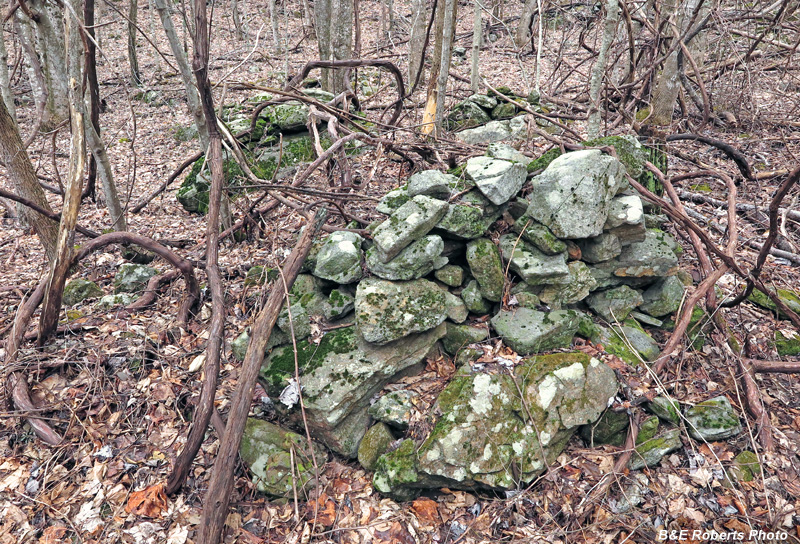
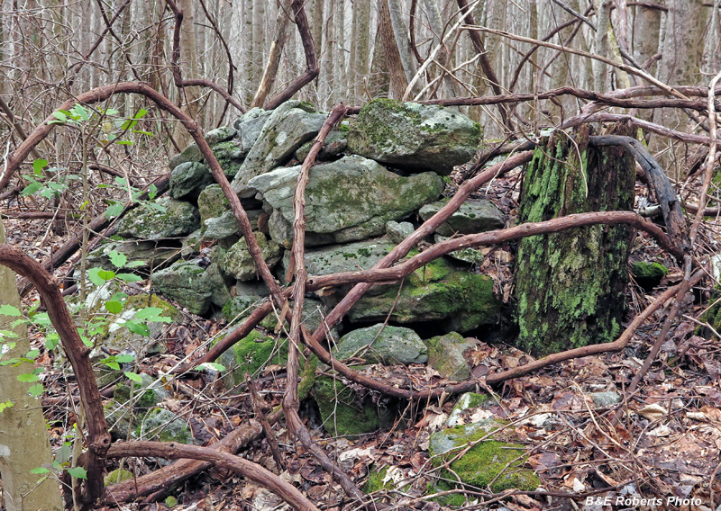
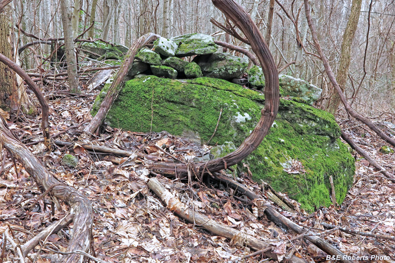
| Cluster F: This grouping was tangled with huge grape vines, many arm-sized and larger! |
|
 |
|
 |
|
 |
|
 |
|
| To the layman's eye, this location rivals the Track Rock 9UN367 area for interest. It likely has some agricultural stone clearing history, but who knows what its original origins might be... |