| Derrick or Powell Gold Prospect Rabun County, GA |
All Text & Images: Copyright (2025) |
| Derrick or Powell Gold Prospect Rabun County, GA |
All Text & Images: Copyright (2025) |
| The Smith Mine consisted primarily of placer mining along Dick's Creek and its tributaries. On the adjoining properties, owned by J. H. Derrick, and A. J. Powell, were other placer and vein-prospects of similar character. "Derrick, of Clayton, GA, was doing some prospect work on a quartz vein at the time of the visit (1908). A shaft had been sunk on the vein, and a tunnel was being driven into the hillside with the aim of intersecting the vein." I believe that this is the described tunnel. |
|
 |
|
| Starting my climb, I immediately came upon a mining cut. The lighting was horrible, so no pics, but this prospect pit was just above it. |
|
 |
|
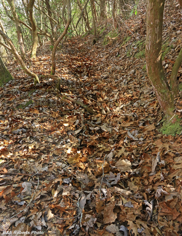
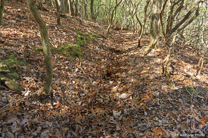
| Continuing up, I hit a long trench-cut running diagonally down the slope. |
|
 |
|
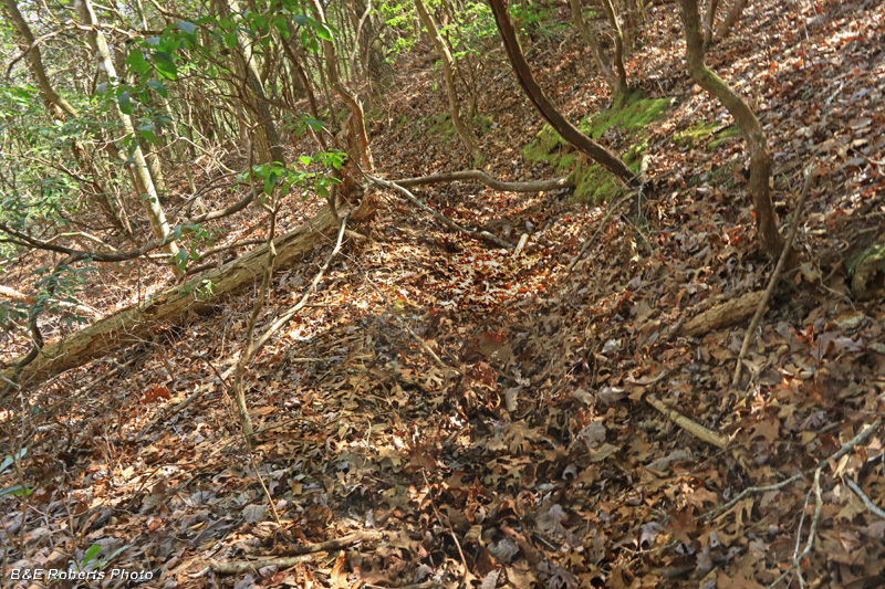
| At the upper end of the trench was what, to the untrained eye, might look like a path... |
|
 |
|
| But it's actually a water ditch, used to carry water along a mountainside for hydraulic mining. |
|
 |
|
| These "water ditches" or "flumes" followed the contour of the terrain, changing elevation just gradually enough to keep the water flowing. The ditches were common in the mining areas of Lumpkin and White counties, but I had never seen one in Rabun. |
|
 |
|
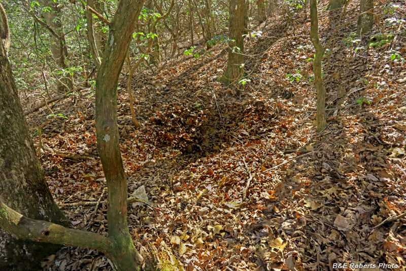
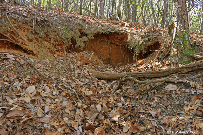
| Continuing up past the ditch, I saw a cut in the slope. It looked like a potential spot for a tunnel! |
|
 |
|
| From the head of the cut, I could see a partially slumped opening into the ground. |
|
 |
|
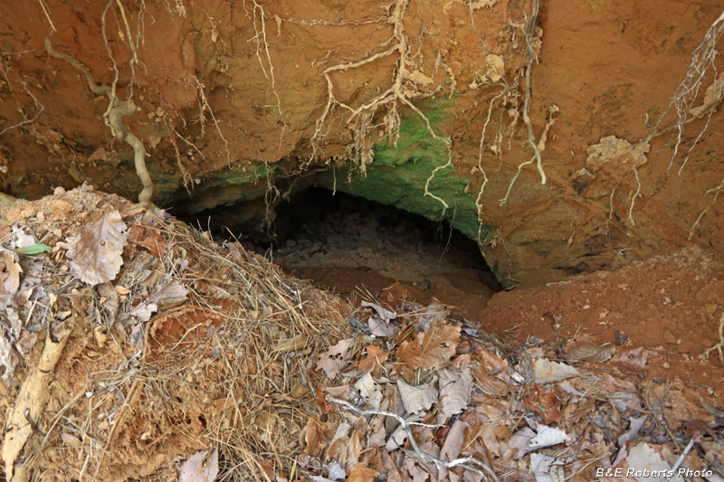
| Reaching down with my camera, I couldn't tell how deep the hole might go... |
|
 |
|
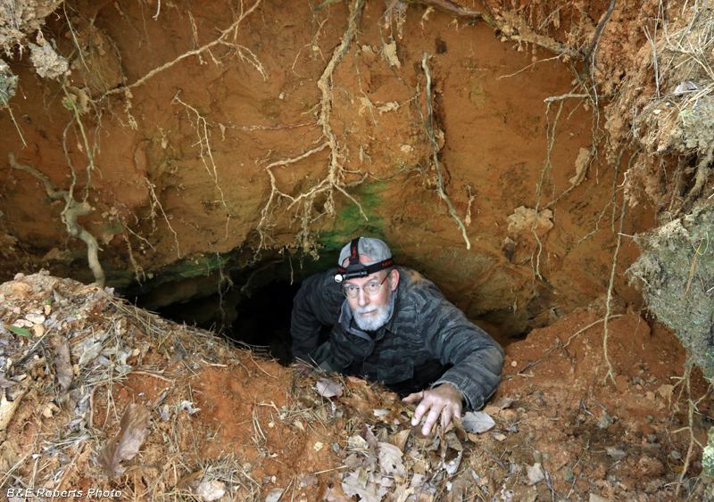
| So there was only one way to find out! Unlike many slumped portals, this entry was almost a vertical drop. |
|
 |
|
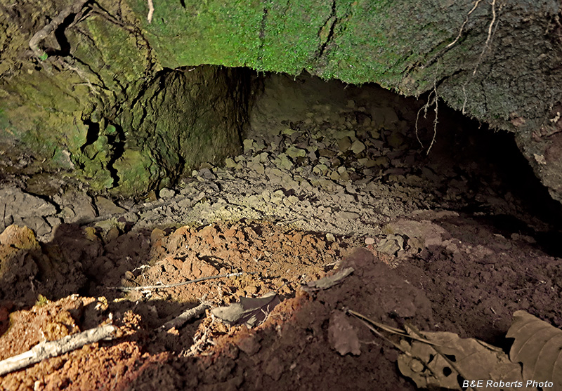
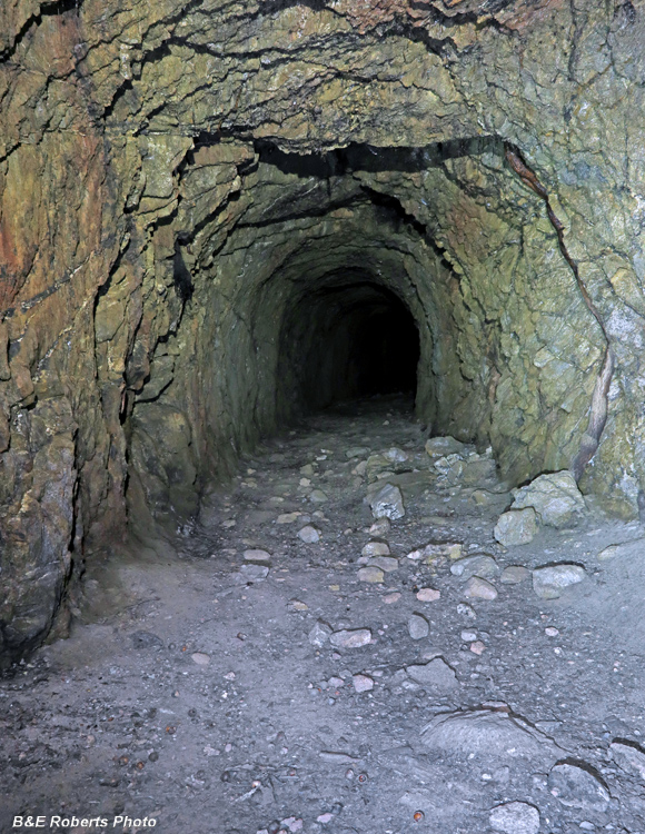
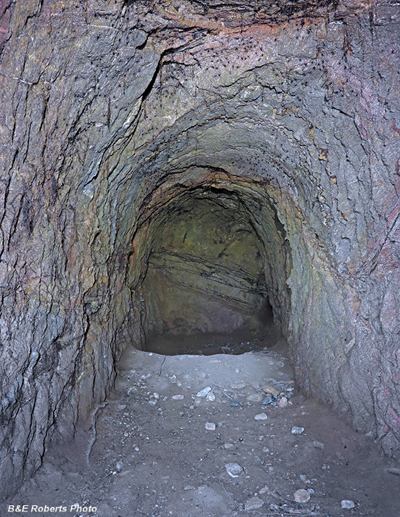
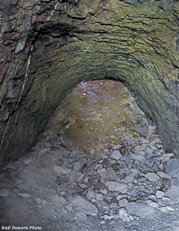
| I was pleasantly surprised to discover a nice adit heading into the mountain. |
|
 |
|
| Onward... |
|
 |
|
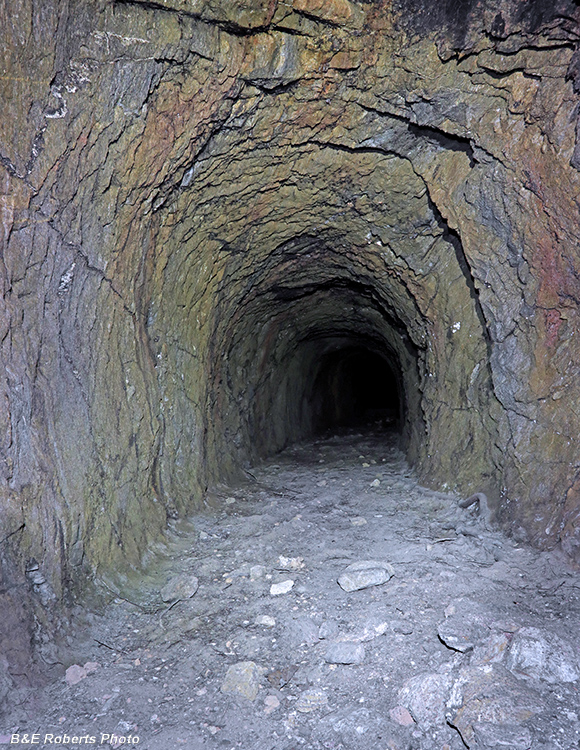
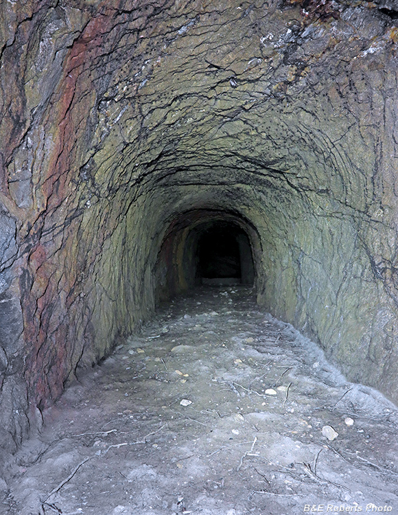
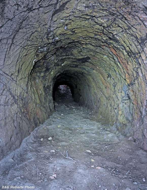
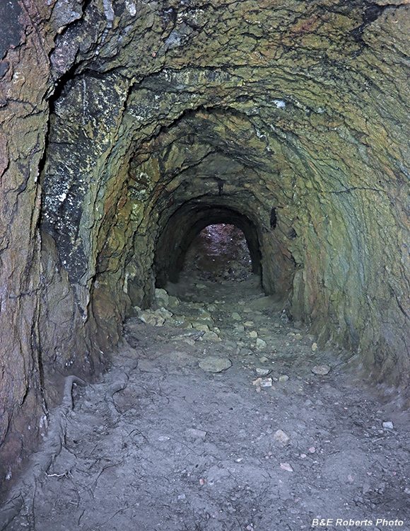
| The adit continued for 80-90 feet. |
|
 |
|
| There were the usual cave crickets all over the ceiling. |
|
 |
|
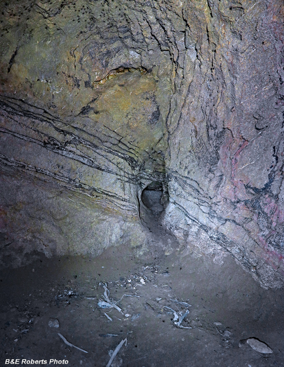
| End of the line... A small pocket had been dug out near the bottom of the wall. |
|
 |
|
| Heading back to the portal. |
|
 |
|
| I didn't see any major veins in the adit. |
|
 |
|
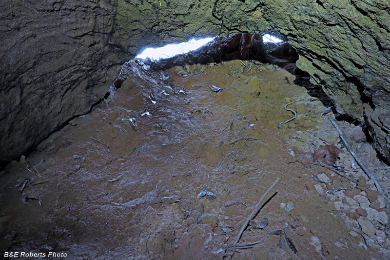
| You can see how steep the slumped portal is. I can usually see sky when I'm this close to an entry hole. |
|
 |
|
| Not a glimpse of sky until I was right underneath. |
|
 |
|
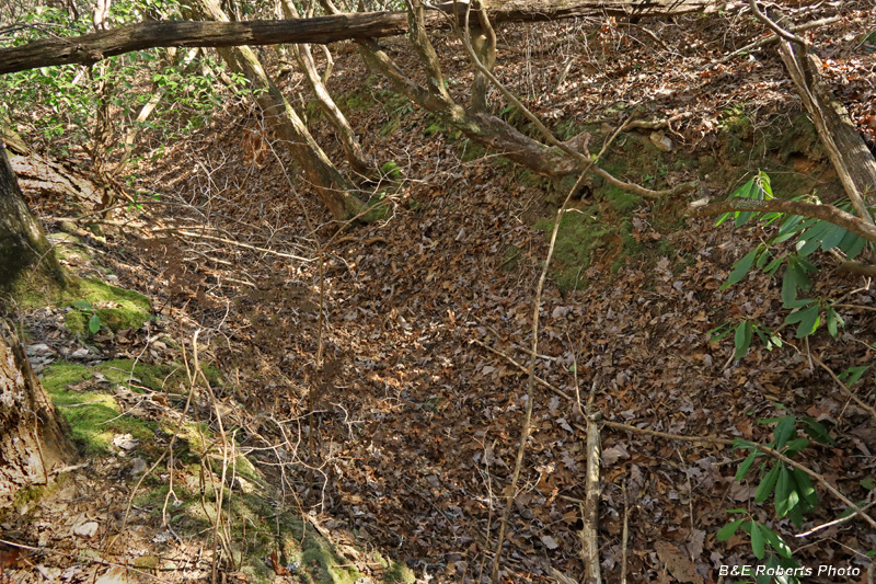
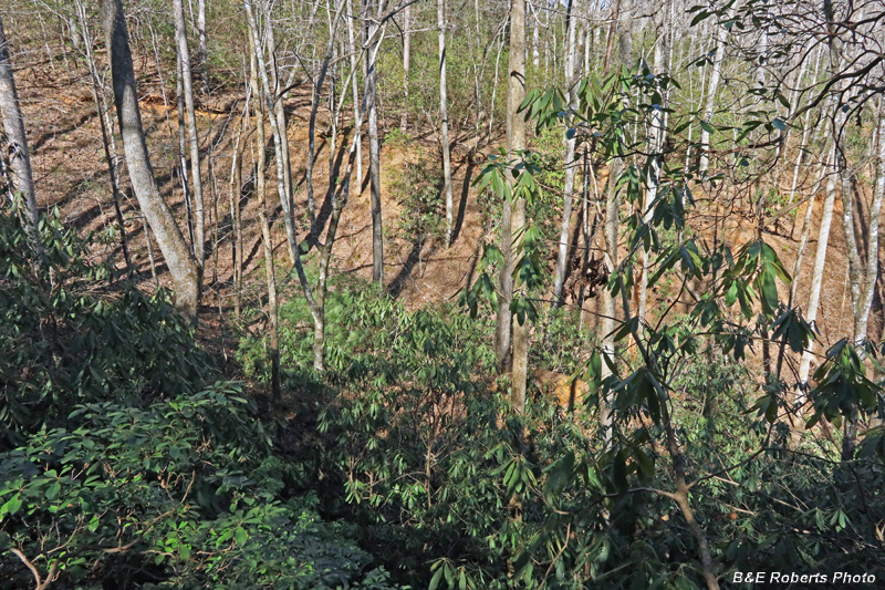
| A terrible photo due to the crappy lighting and rhododendron... But this view shows a huge cut (approx. 100 yards across and 80 feet deep) some distance below the tunnel. It was mined hydraulicly; thus the need for the ditches shown previously. This work was done after the tunnel was cut, as there's no mention of it in the old reports. |