| Un-named Gold Prospects Near Buzzard Mtn, Rabun Co., GA March 2025 |
All Text & Images: Copyright (2025) |
| Un-named Gold Prospects Near Buzzard Mtn, Rabun Co., GA March 2025 |
All Text & Images: Copyright (2025) |
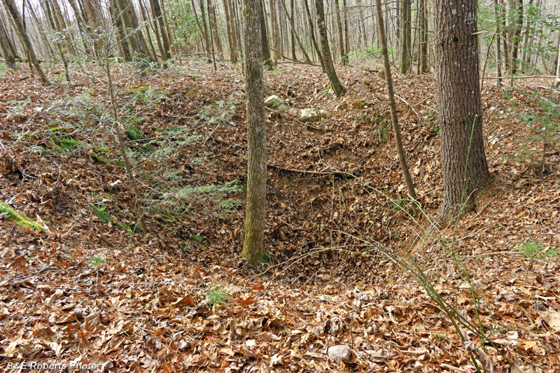
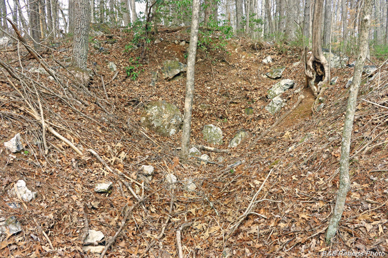
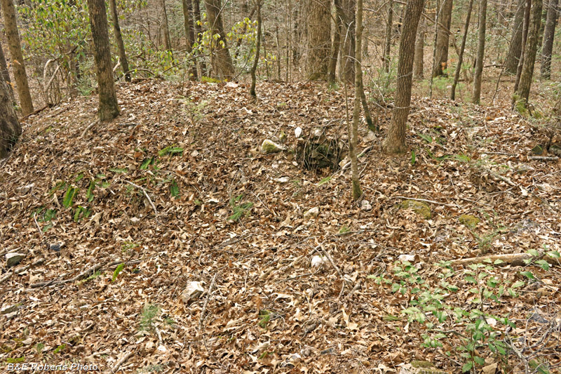
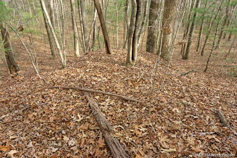
| In an old mineral resource report, I found reference to some mining prospects (possibly gold) in this area. Examining LIDAR, I was quickly able to locate them. The report mentioned an adit; although three of the five spots I visited were pits or collapsed shafts, at least one other is likely a slumped tunnel. 1 - Prospect Pit / Shaft S1: |
|
 |
|
| First of the old gold prospects that I found. Per the old reports, these shafts / pits were considerably deeper 150 years ago. |
|
 |
|
| From another angle, showing a smaller pit adjacent to the old shaft. |
|
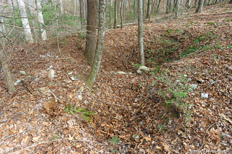
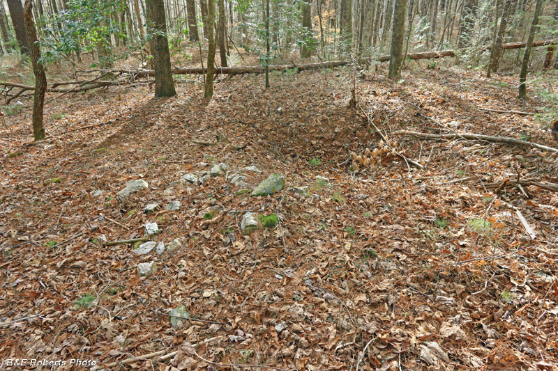
| 2 - Prospect Pit / Shaft S2: |
|
 |
|
| Second of the gold prospect shafts. |
|
 |
|
| From another angle |
|
 |
|
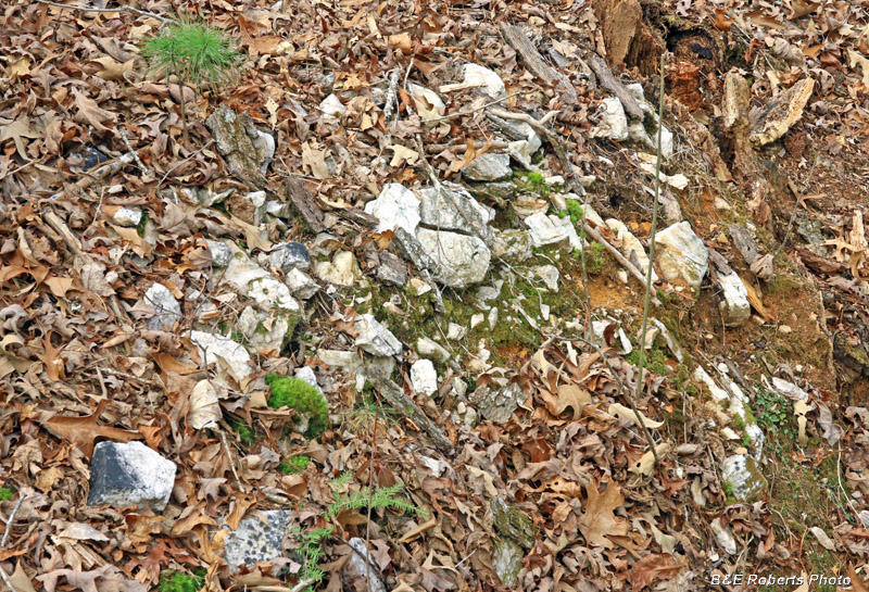
| Lots of quartz / quartzite around the rims of these old shafts. |
|
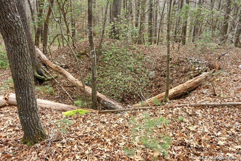
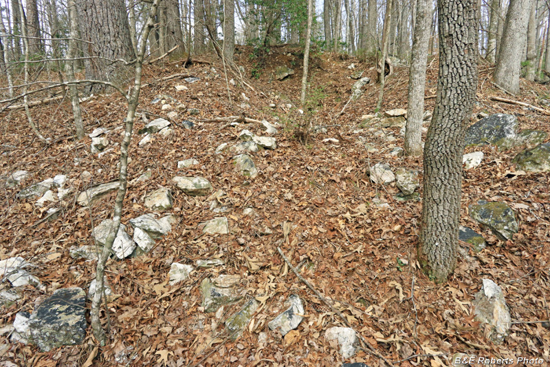
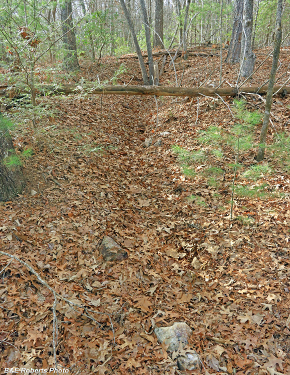
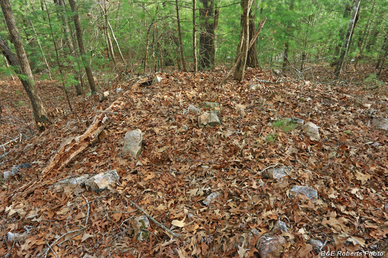
| 3 - Prospect Pit / Shaft S3: |
|
 |
|
| This prospect was more of an inclined cut than a shaft... |
|
 |
|
| Lots of quartzite boulders scattered about... |
|
 |
|
| View down from the top of the cut |
|
 |
|
| Waste rock pile |
|
| The next two mining indications were some distance away. |
|
 |
|
| On my way to them, I passed this smaller prospect pit. |
|
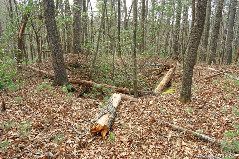
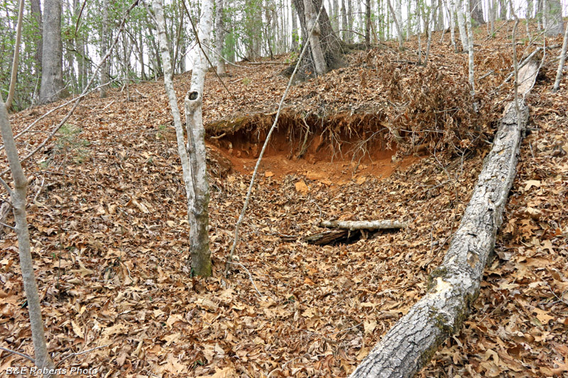
| 4 - Prospect Cut / Adit N1: |
|
 |
|
| The 4th prospect was the one I thought most likely to be an adit. |
|
 |
|
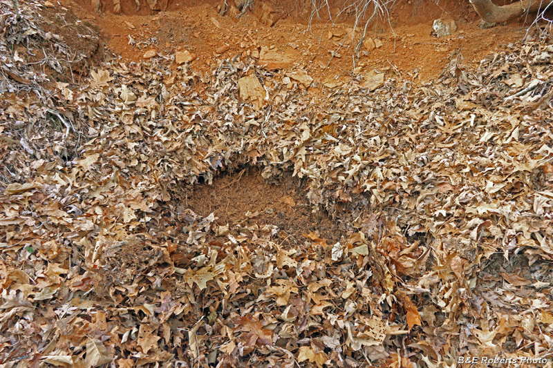
| It is slumped, but poking with my pole, the earth didn't seem very compacted. |
|
 |
|
| The large waste pile below the cut contains a lot more earth / rock than came out of that visible cut, so I think there's a tunnel / adit beyond the slump. |
|
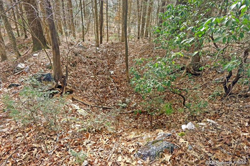
| 5 - Prospect Cut N2: |
|
 |
|
| The last of the main prospects that I came across, a long cut of about 100 feet. |
|
 |
|
| Waste rock pile from the trench... |
|
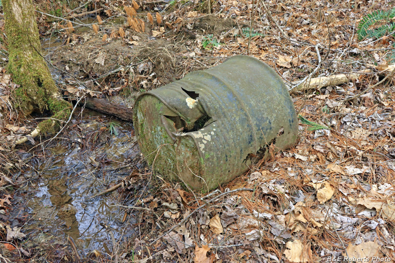
| While looking for the prospects, I came across the remains of some old moonshine stills along a couple of the creeks: |
|
 |
|
| Axed barrel at the first still site |
|
 |
|
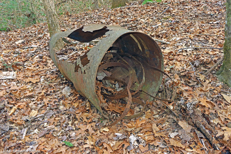
| Barrel and hoop bands (from wooden barrels), also at first still site. |
|
 |
|
| I knew that there had to be a firebox nearby... I found a dug-out area along the creek, and poking around with my hiking pole, uncovered the typical U-shaped rock fire box. It's hard to see in this image, since I only had my pole to clear off the leaves and mulch. |
|
 |
|
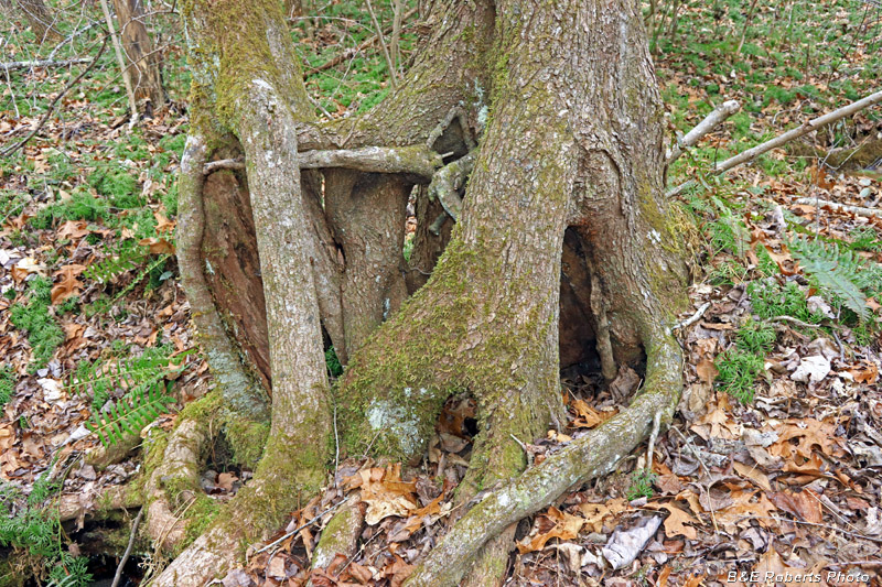
| Intertwined tree trunks |
|
 |
|
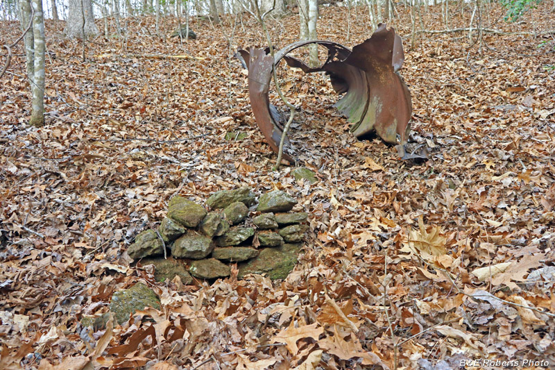
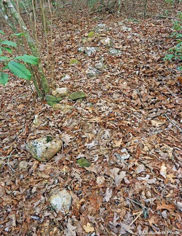
| In the next drainage... I found more barrels, and this small section of rock wall along the branch. I'm guessing it was part of another still. |
|
 |
|
| I'm not sure what this length of low rock wall was for... |