 |
Drone Views - Young Harris Towns County, Georgia |
All Text & Images: Copyright (2024) |
 |
Drone Views - Young Harris Towns County, Georgia |
All Text & Images: Copyright (2024) |
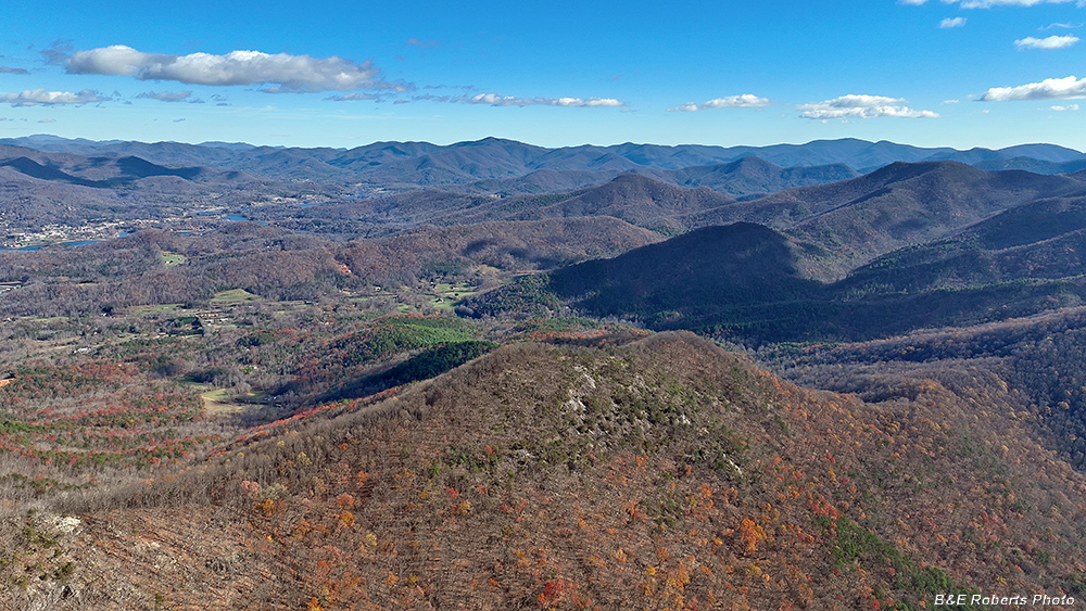
| A few drone photos taken from the Young Harris area, above Rocky Knob. I was getting constant high wind warnings from the drone, so some pics, especially the zoomed-in images, aren't especially sharp. Late November 2024 |
|
 |
|
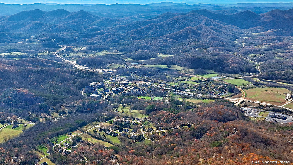
| Young Harris - Town and the College You can see the Hwy 515 by-pass under construction. You can also get a glimpse of Blairsville way off in the distance at center. |
|
 |
|
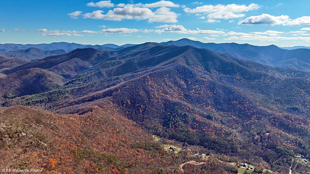
| View to the SSE Brasstown Bald (Enotah) near center horizon, with Wolfpen Ridge leading down to Crow Gap, Dyer Cove on the right. |
|
 |
|
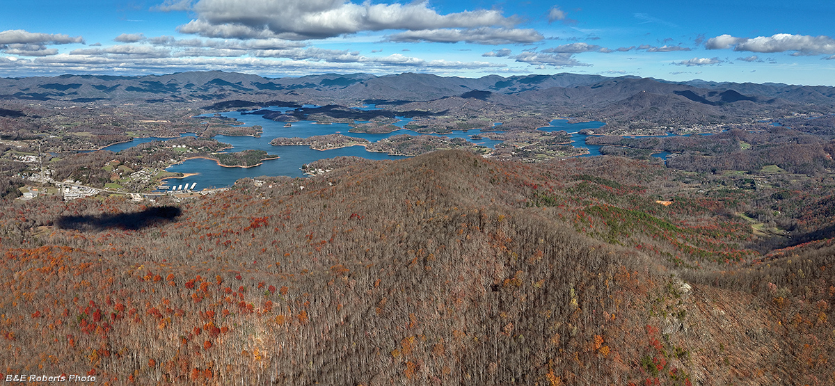
| Looking north Three-image panorama of Lake Chatuge, with Ramey Mtn in the foreground. |
|
 |
|
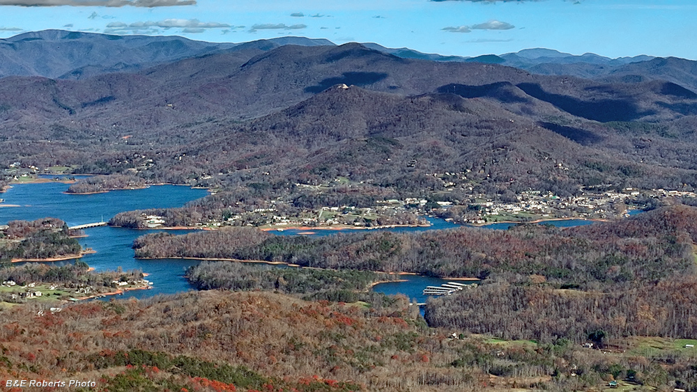
| Zoomed in on Hiawassee, seen on the right in the previous image. |
|
 |
|
| View more or less to the ESE Double Spring Knob is the tallest peak near center horizon. Hiawassee is at left, Spaniard Mtn and Rocky Mtn are at far right horizon. Cedar Knob is in the foreground. |