 |
Mountain Drone Views - Fall 2024 Clay County, NC |
All Text & Images: Copyright (2024) |
 |
Mountain Drone Views - Fall 2024 Clay County, NC |
All Text & Images: Copyright (2024) |
| A few mountain views taken on a nice mid November afternoon. The first shots (ground and drone) are from the Yellow Mtn vicinity off Little Buck Crk and Deep Gap Rd. The second group of shots are from above Jake Ridge, off Hwy 64 at the bottom of the climb up the side of Chunky Gal ridge. I annotated a number of these images to identify the prominent peaks. 1 - Little Buck Creek and Yellow Mountain Vicinity |
|
 |
|
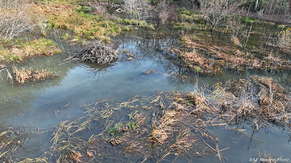
| This small pond was created by damming back around 1950. The dam was breached years ago, and in recent years it has been mostly a shallow bog, often drying enough so only the main creek channel held water. But beavers have dammed the breach, so now it's a boggy pond again. |
|
 |
|
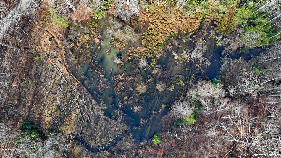
| Aerial view down on the bog. You can see my orange drone launch pad at left on the dam. |
|
 |
|
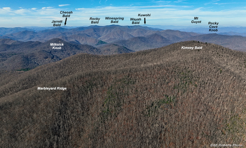
| View to the North |
|
 |
|
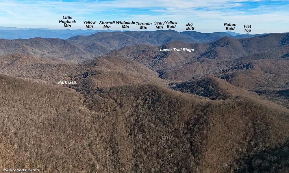
| View to the East |
|
 |
|
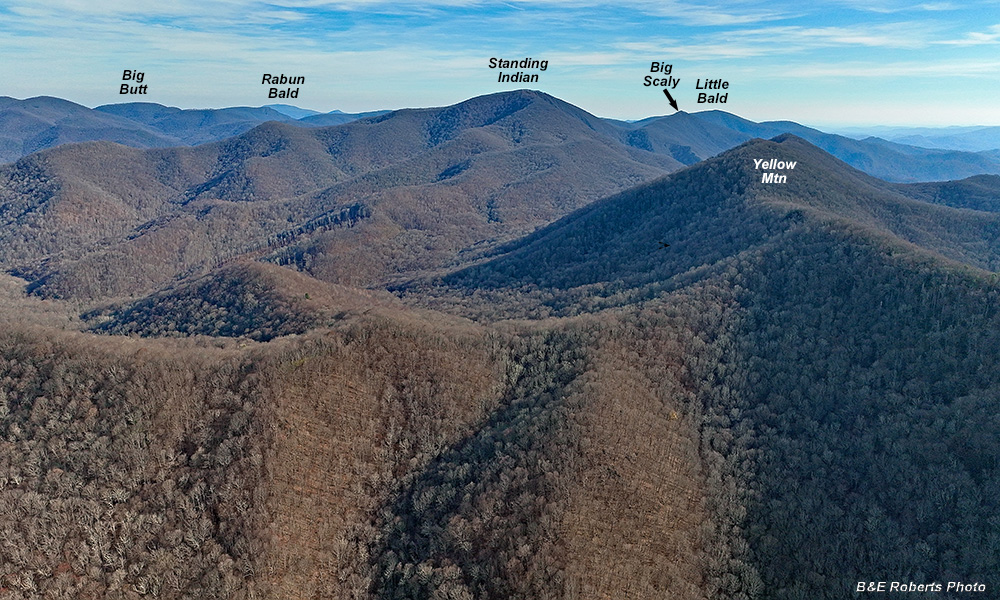
| View to the South-east with Standing Indian Mtn at center. |
|
 |
|
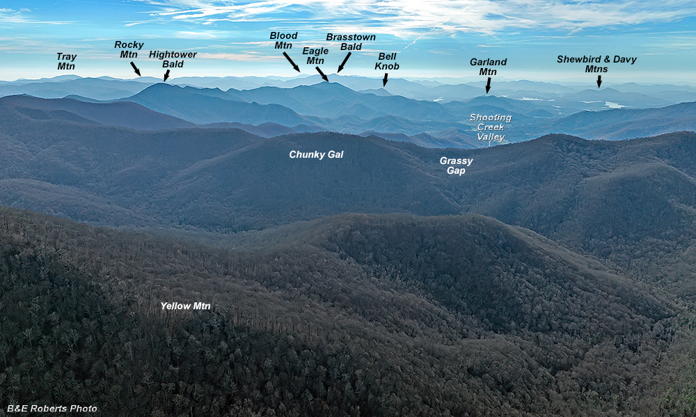
| Shooting into the sun... View back towards our home (South-west) |
|
 |
|
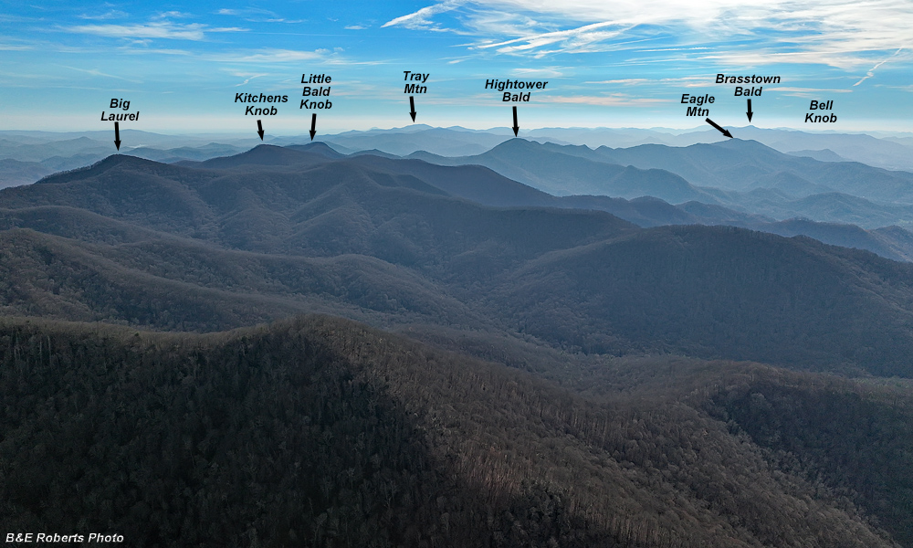
| More shooting into the sun... A more or less Southerly view into the Southern Nantahala Wilderness |
|
 |
|
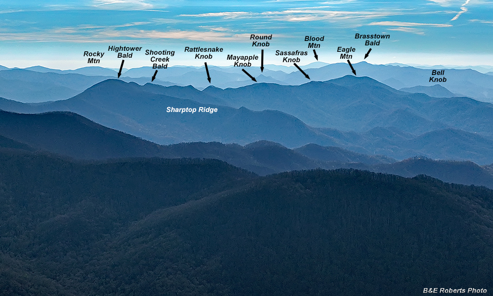
| From a similar angle... Zoomed in on the High Ridge between Hightower Bald and Eagle Mtn |
|
 |
|
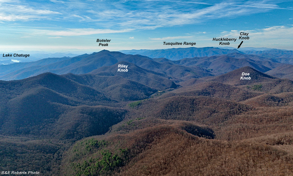
| View roughly WNW, featuring Boteler Peak and the Tusquitee Range in the distance. |
|
| 2 - From the Jake Ridge area, off Hwy 64 at the base of Chunky Gal Ridge |
|
 |
|
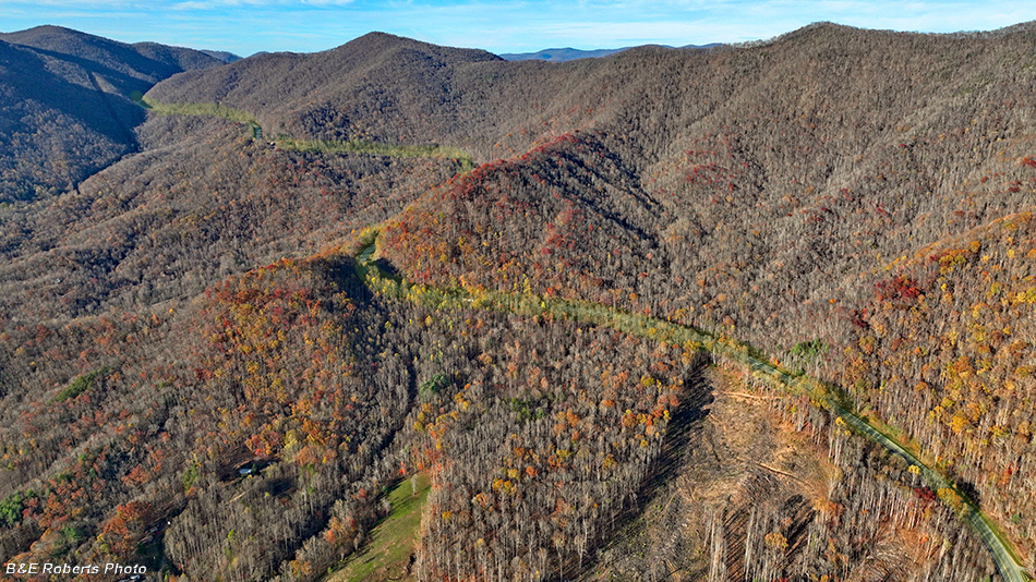
| Hwy 64's climb up the side of Chunky Gal ridge to Glade Gap. I highlighted the highway route in yellow. |
|
 |
|
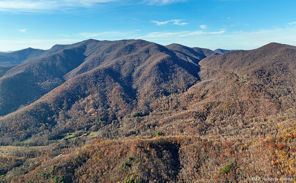
| View North to Boteler Peak. Glade Gap is about 1/3 from right horizon. |
|
 |
|
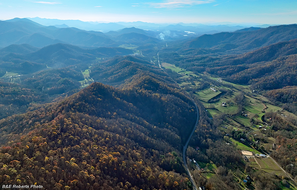
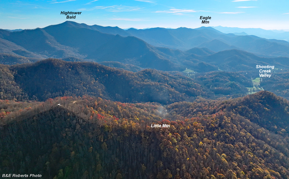
| Hazy view into the sun, looking down Shooting Creek Valley. From the Jake Ridge area, at the start of Hwy 64's climb up the Chunky Gal ridge, looking back down the valley toward Hayesville. |
|
 |
|
| A South-western view, toward our home territory. A similar view to a previous image from up at Yellow Mtn, but several miles closer and 1200 feet lower elevation. |