1 - The Davenport Br. Cuts
In October, I was examining LIDAR imagery in the general Buck Creek area when I noticed an unusual indication. It vaguely looked like it might be from mining activity, but it was odd-shaped, and some distance from the other corundum mining sites.
Once the leaves had fallen off the trees, I checked it out. Sure enough, it was another mining operation, with four mostly slumped shafts, a long trench, and numerous smaller prospect pits. I haven't found any documentation of this site, but it's another piece of the rich mining history of the area.
|
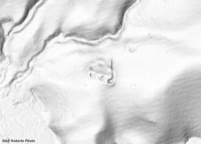 |
The LIDAR indication that got my curiosity up...
|
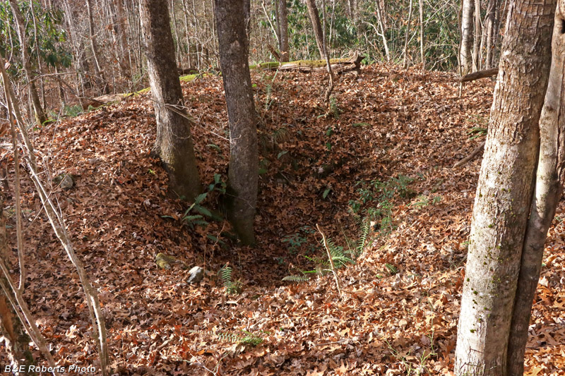 |
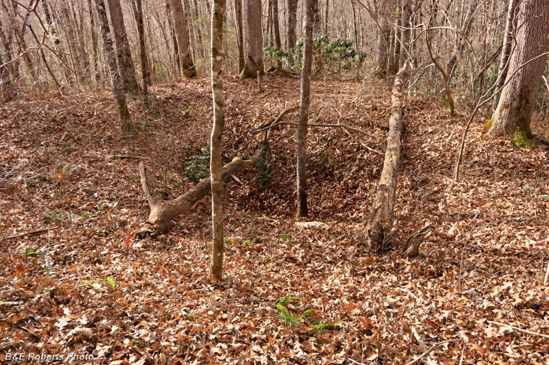
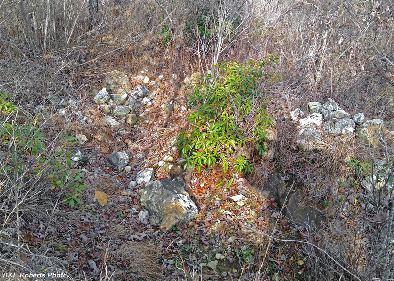
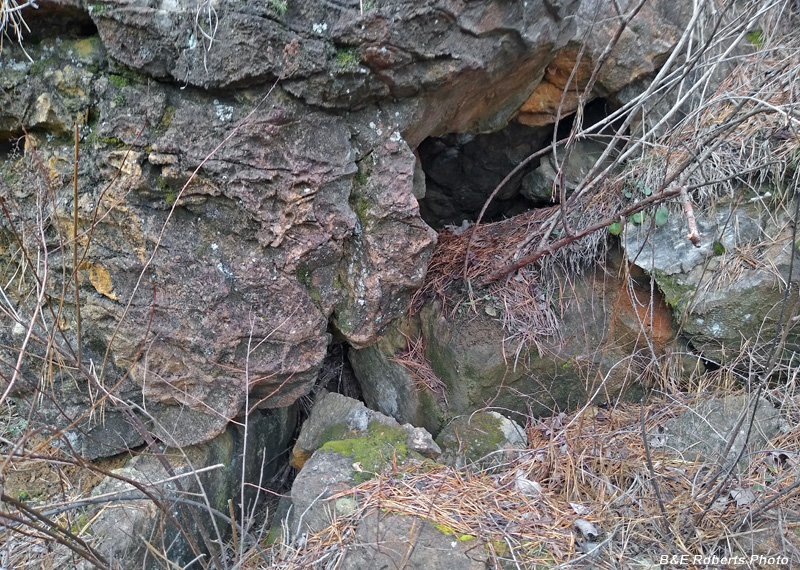
Climbing to a hill-top, I looked down on Pit-Shaft 1.
|
 |
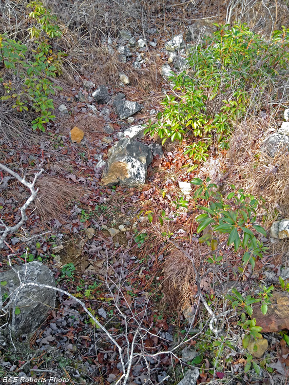
Pit-Shaft 1 from the opposite side
|
 |
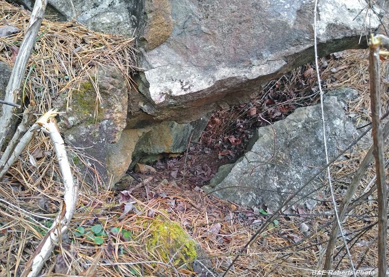
View down on Pit-Shaft 2
|
 |
Pit-Shaft 2 from the other side
|
 |
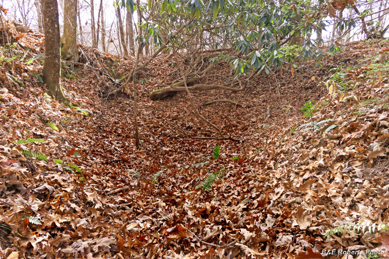
Pit-Shaft 3
|
 |
Pit-Shaft 3 from the other side
|
 |
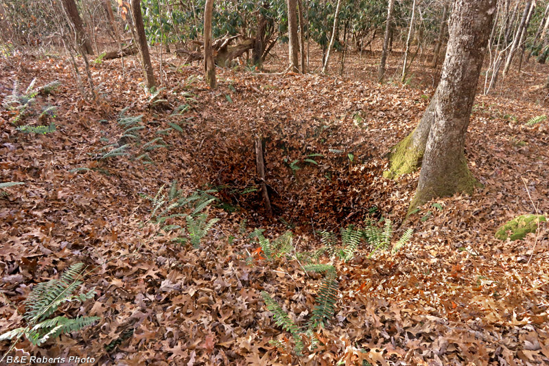
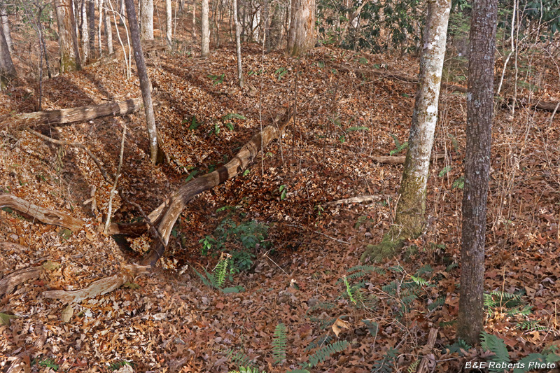
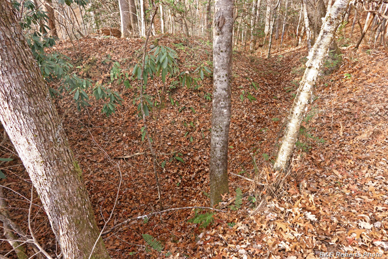
Pit-Shaft 4, the largest of the now collapsed shafts
|
 |
Pit-Shaft 4, from the opposite side
On the right can be seen the trench that enters this pit from downhill.
|
 |
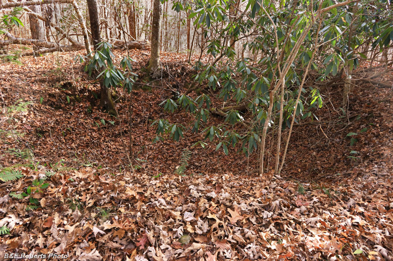
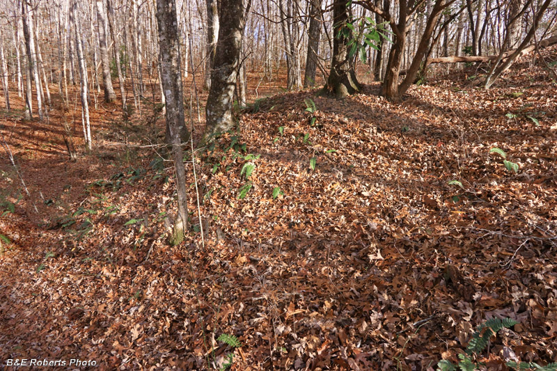
Pit-Shaft 4 at left; at right is the trench that intersects the pit-shaft
|
 |
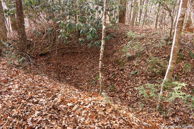
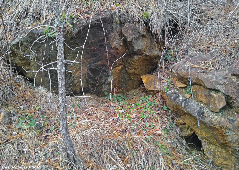
Pit-Shaft 4 from the inside, standing where the trench intersects the pit-shaft.
|
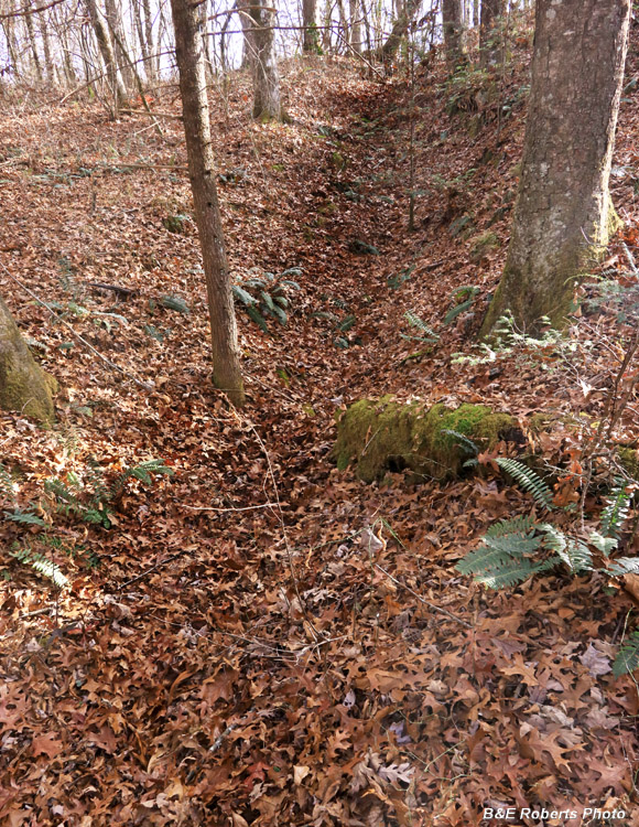 |
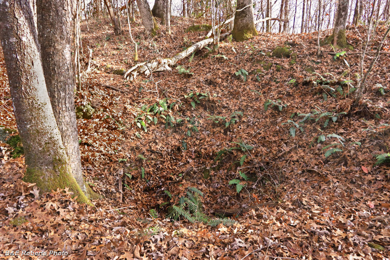
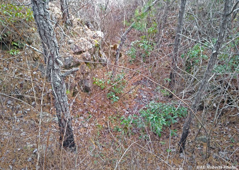
The trench that runs up the hill and ends at Pit-Shaft 4.
|
 |
One of the waste-piles dug out of Pit-Shaft 4.
|
2 - The Zoisite and Branch Cuts
I was doing a little rock-hounding at Buck Creek in December 2024, and found myself
near two of the smaller named mining cuts, I realized that I hadn't photographed them
before; I didn't have my camera but did get a few phone shots for documentation.
|
 |
The Zoisite Cut was one of the smaller cuts at Buck Creek.
One can see the reason for the name, with all the white rock laying alongside the cut.
|
 |
This cut followed a 3 foot thick vein of nearly pure zoisite.
It contained about 5% blue-gray corundum of good quality.
|
 |
The Branch Cut was also referred to as the Woody Cut in some records.
The vein here was opened by a cut 8 feet below the surface.
|
 |
A 3 foot feldspar vein near the surface contained pockets of corundum.
|
 |
Several boulders weighing 100-150 pounds contained 40-50% blue corundum.
|
 |
North side of the Branch, aka Woody, Cut
|