 |
Autumn Color - 2024 Album 2 - Buck Creek & Corundum Knob |
All Text & Images: Copyright (2024) |
 |
Autumn Color - 2024 Album 2 - Buck Creek & Corundum Knob |
All Text & Images: Copyright (2024) |
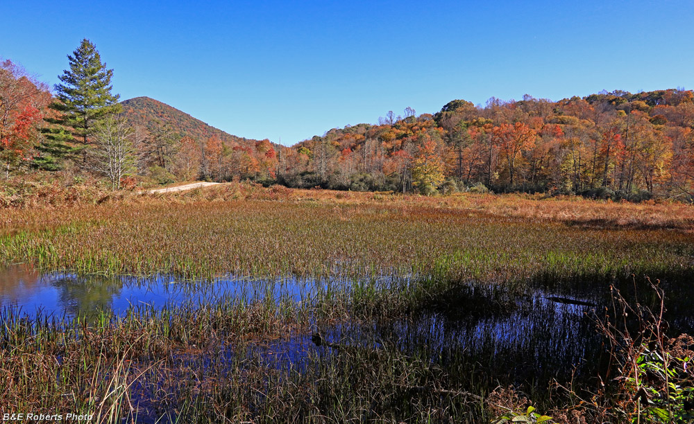
| 1 - October 17, 2024 I drove up to my two favorite autumn bogs to see how the fall color was coming along: |
|
 |
|
| Probably due to the drought, Barnards Bog (Buck Creek) wasn't quite as colorful as I've caught it in the past. |
|
 |
|
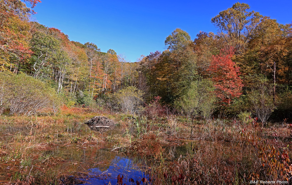
| The bog on Little Buck Creek was flooded by beaver activity. |
|
| 2 - October 25, 2024 After seeing my Tuni-Tusquitee foliage images from Oct. 23, Alan C. wanted to come up and photograph some spots for color. We met up at Buck Creek and Corundum Knob, then went back to our place and hung out with Elaine for a while. |
|
 |
|
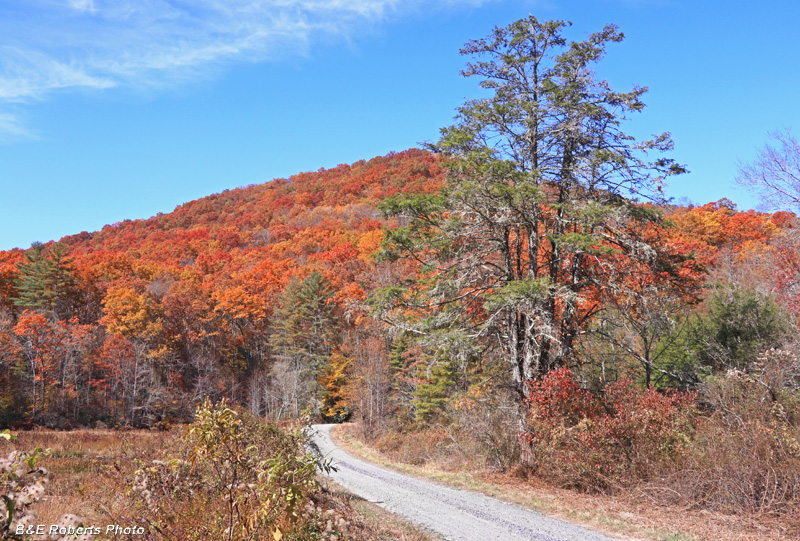
| End of Buck Creek Rd, the edge of Barnards Bog at left This was the only non-drone photo that I took all day! |
|
 |
|
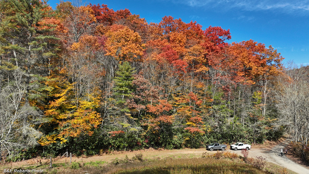
| Drone view from above the bog Alan and I (and our trucks) are visible at lower right. |
|
 |
|
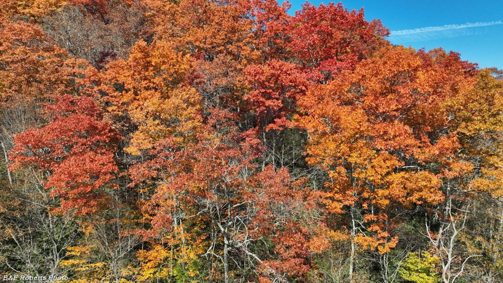
| Colorful leaves on trees around the bog. |
|
 |
|
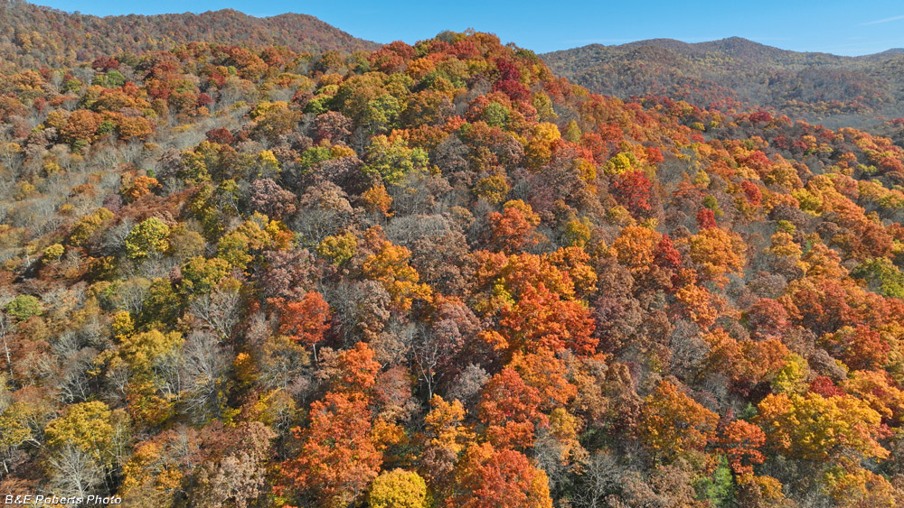
| View to the east |
|
 |
|
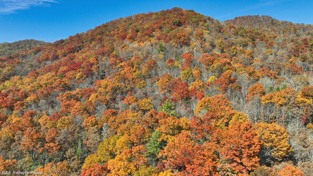
| View north While only a few miles away, the colors here weren't as vibrant as what I'd photographed two days earlier at Tuni-Tusquitee. |
|
 |
|
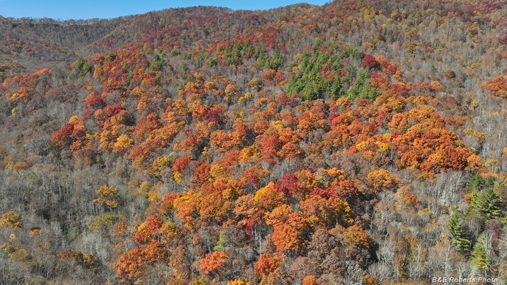
| Western view There were patches of color, but mixed in with spots that were already bare. |
|
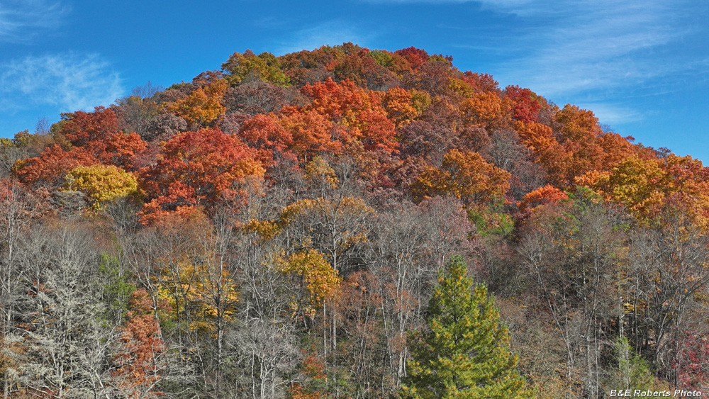 |
|
| More leaf color atop the hills |
|
| Next we moved up to Corundum Knob. Alan had never been up here before. |
|
 |
|
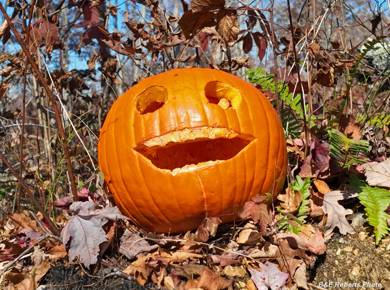
| Climbing the Knob, we came across scattered Halloween pumpkins! Some were carved, others were smashed. It was kinda weird seeing this in the middle of the woods! |
|
 |
|
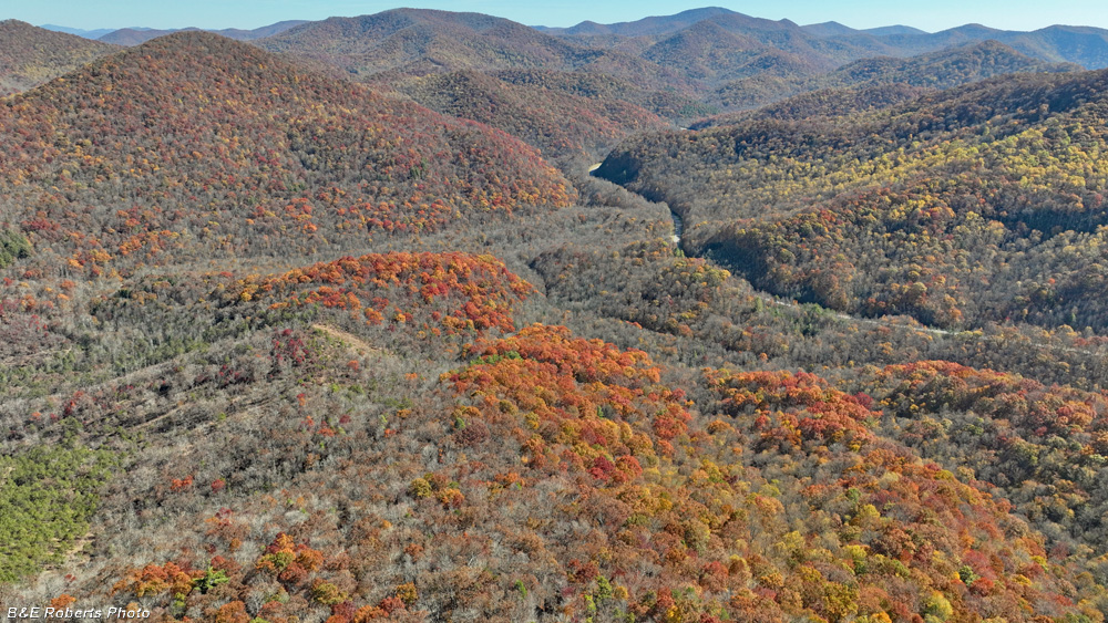
| From above the Knob Barrens, view to the east Doe Knob is the peak at near left, Hwy 64 visible at right. |
|
 |
|
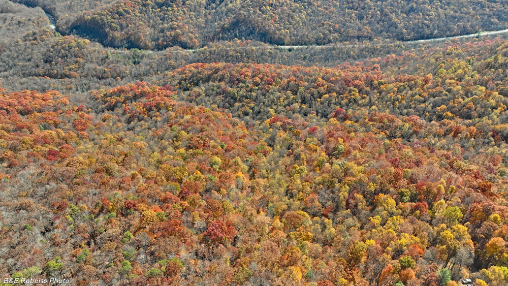
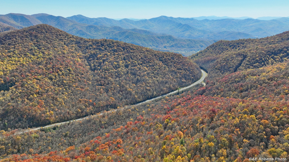
| View to the SSE with the base of Chunky Gal Ridge on the far side of Hwy 64. Our vehicles are barely visible at lower right. |
|
 |
|
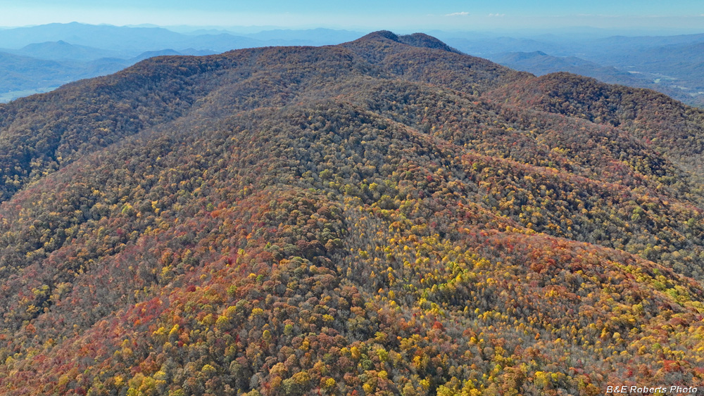
| View south at the upper end of Hwy 64's climb up and around Chunky Gal - Riley Knob. The High Ridge of the Southern Nantahala Wilderness in the background, Hightower Bald near the center. |
|
 |
|
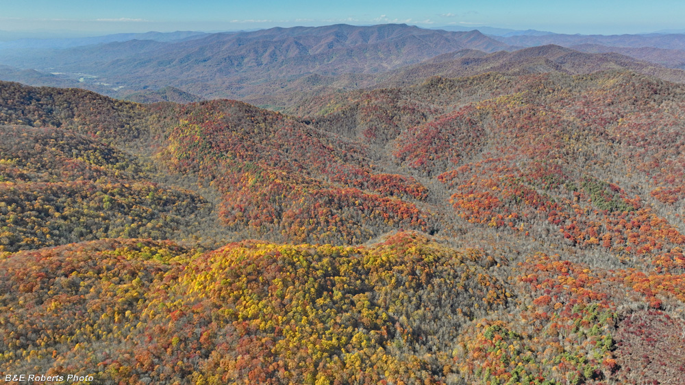
| To the west, Mt. Boteler It was bare at the summit, but still had color on the lower slopes. |
|
 |
|
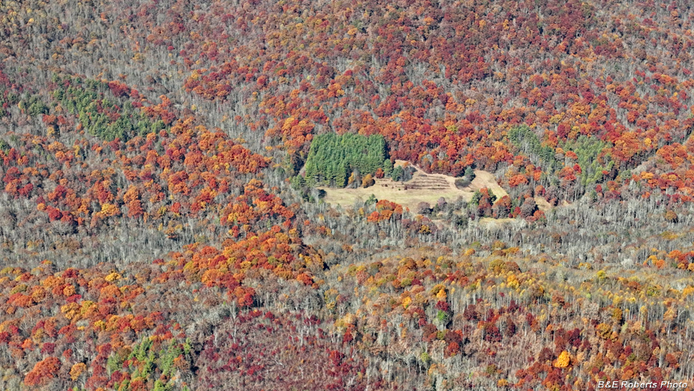
| View toward the Tusquitee Range |
|
 |
|
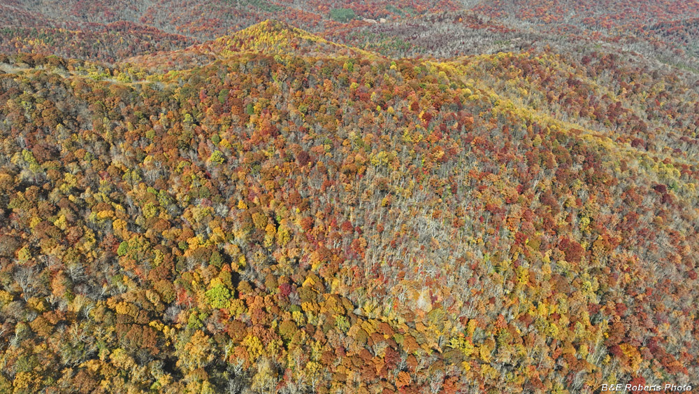
| The site of the old Buck Creek Lodge is at the center of this image. |
|
 |
|
| Lower ridge east of Mt. Boteler |
|
 |
|
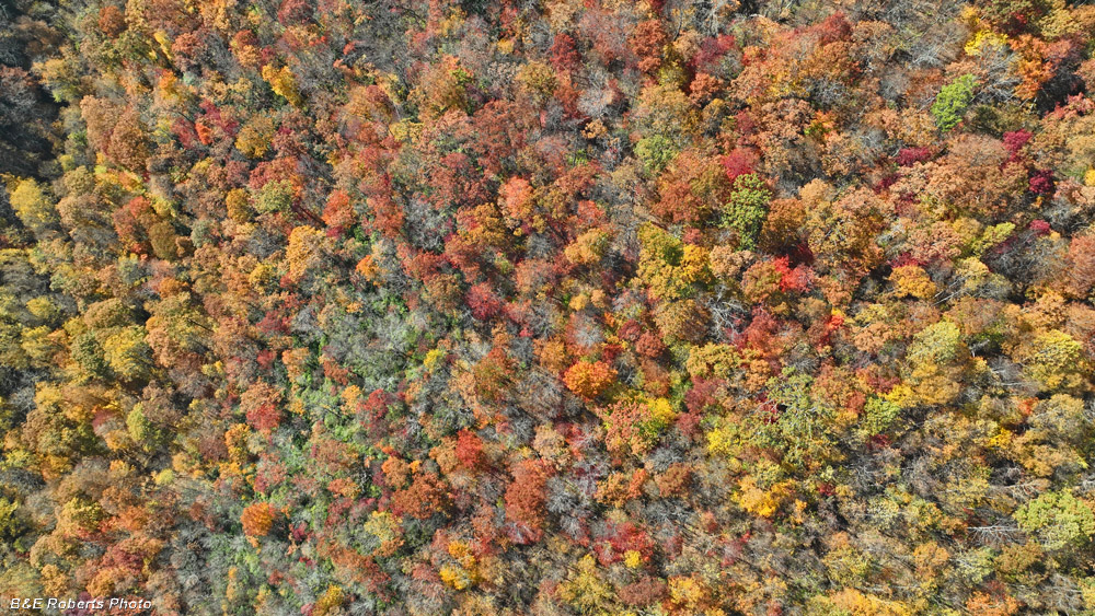
| View down on a colorful area. |
|
| 3 - October 28, 2024 Three days later, I returned to Buck Creek & Corundum Knob, because there were a few additional views I wanted to capture with the drone. There was already significantly less color on the trees, but I was interested in the perspectives. |
|
 |
|
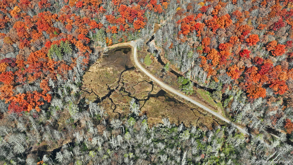
| View down on Barnard's Bog |
|
 |
|
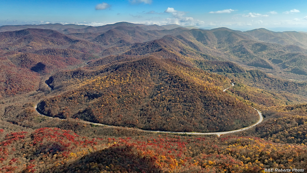
| When driving east on Hwy 64 heading to Franklin, I've never really realized that as you reach the top of the climb near the west side of Chunky Gal, the road loops over 180 degrees around Riley Knob. The maps show it, of course, but it leaves a bigger impression when one can actually see it. |
|
 |
|
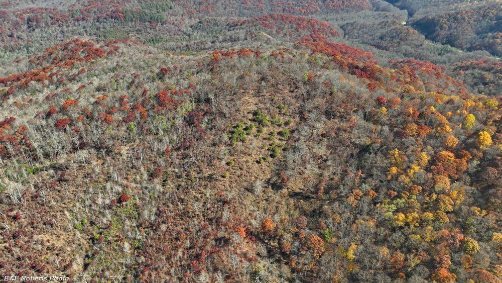
| Dunite Savannah on west side of Corundum Knob |
|
 |
|
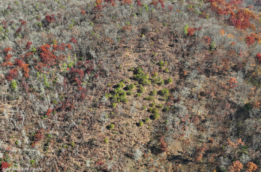
| Dunite Savannah - closer view The top of the slope is where we launched the drtones. |
|
 |
|
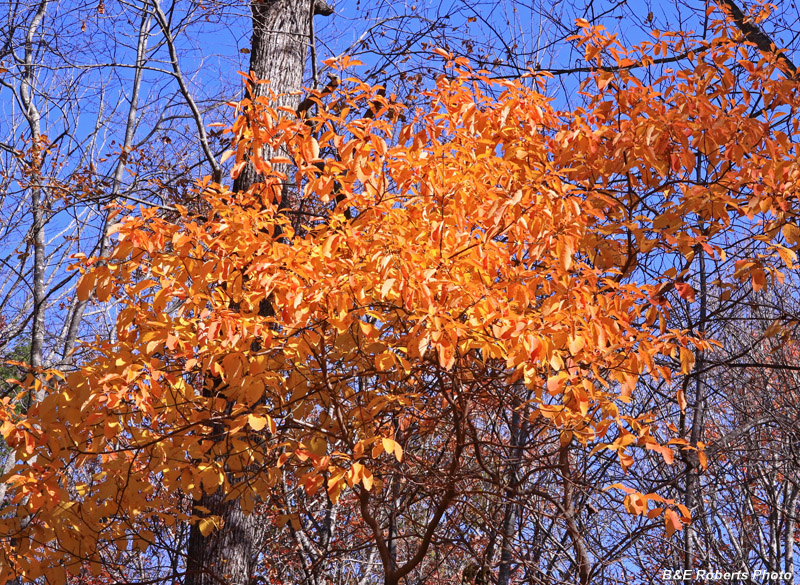
| Golden leaves on the Knob |