 |
Autumn Color - 2024 Album 1 |
All Text & Images: Copyright (2024) |
 |
Autumn Color - 2024 Album 1 |
All Text & Images: Copyright (2024) |
| 1 - October 23, 2024 I made my annual "foliage drive" through the Tuni Gap - Tusquitee Gap loop. The color was pretty nice at the higher elevations. A mix of ground and drone images are included. |
|
 |
|
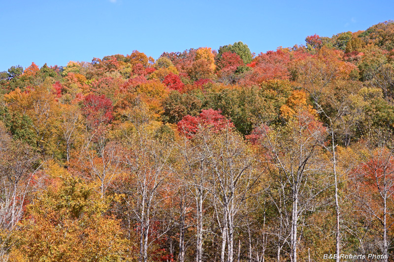
| Colorful ridge as I headed up the mountain |
|
 |
|
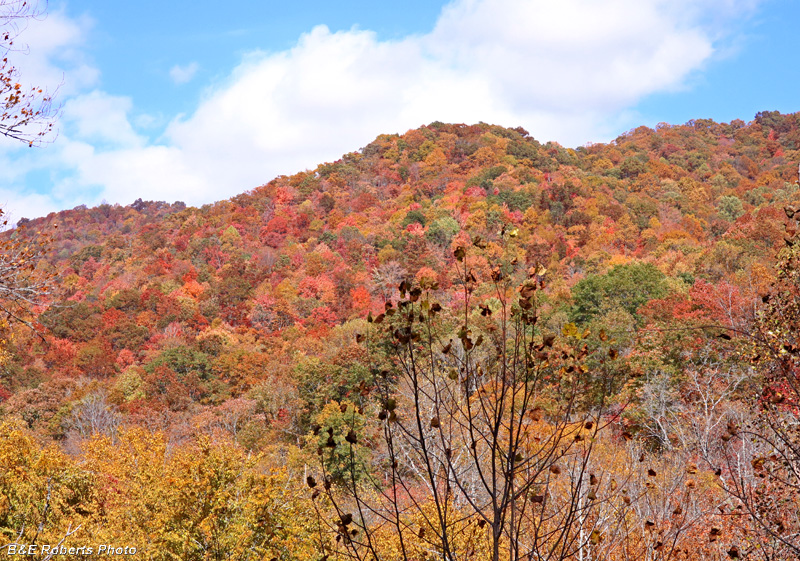
| More color on the ridges |
|
 |
|
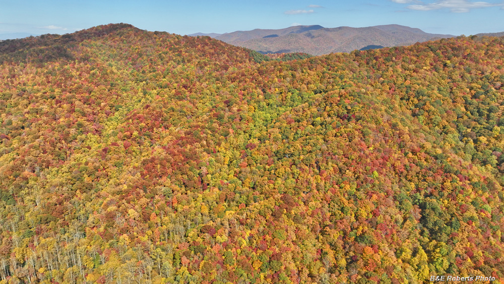
| 1st of 3 drone flights - foliage looking west |
|
 |
|
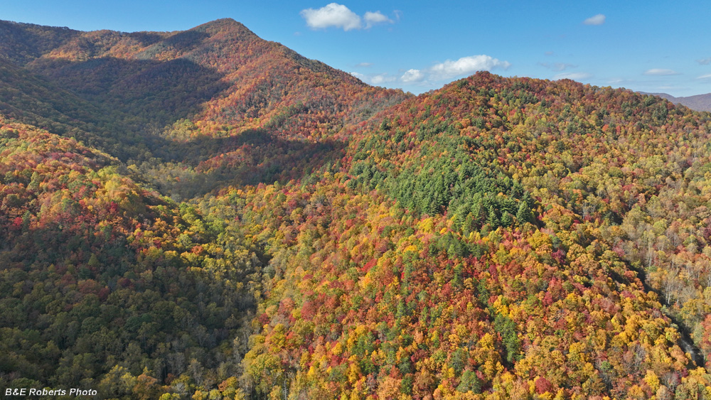
| Drone view of mountain to the north |
|
 |
|
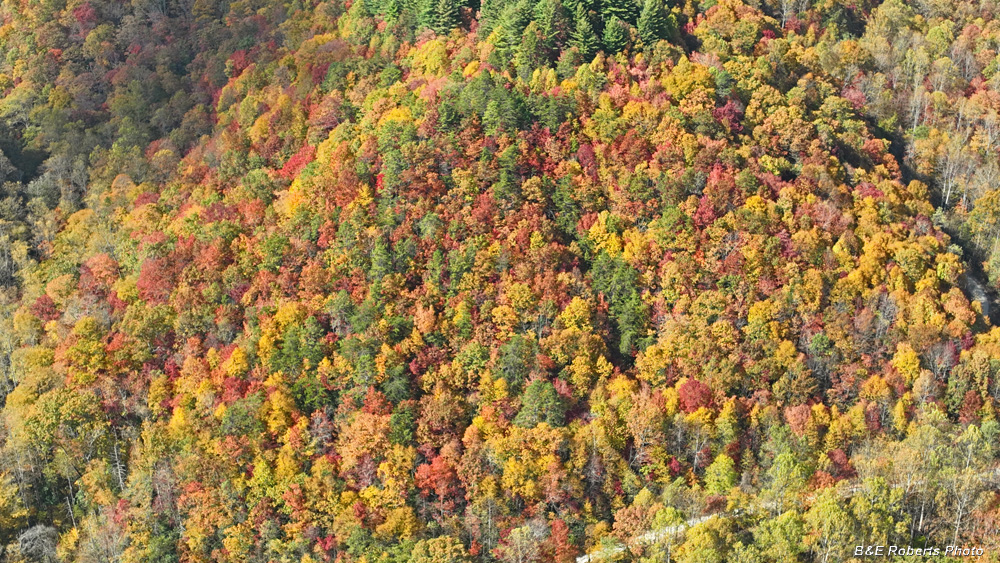
| Looking down - a section of Tuni Gap Rd. is visible |
|
 |
|
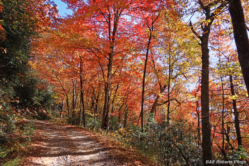
| Back down on the ground, and further up the road |
|
 |
|
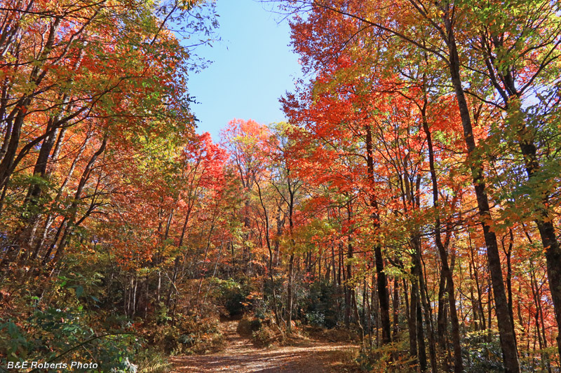
| Roadside color This is one of the two high elevation points on the loop, each at about 3700 feet. |
|
 |
|
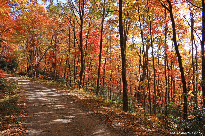
| More roadside color |
|
 |
|
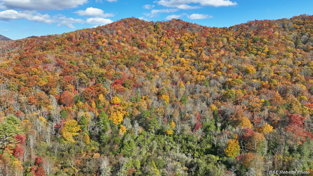
| 2nd drone flight, nice color to the east |
|
 |
|
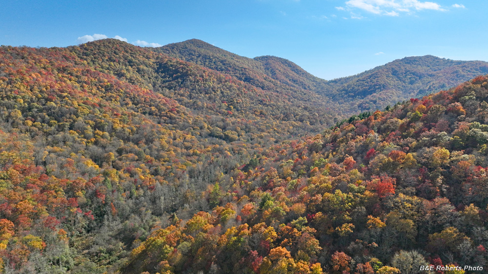
| View south along Clear Creek valley, toward Tusquitee Gap |
|
 |
|
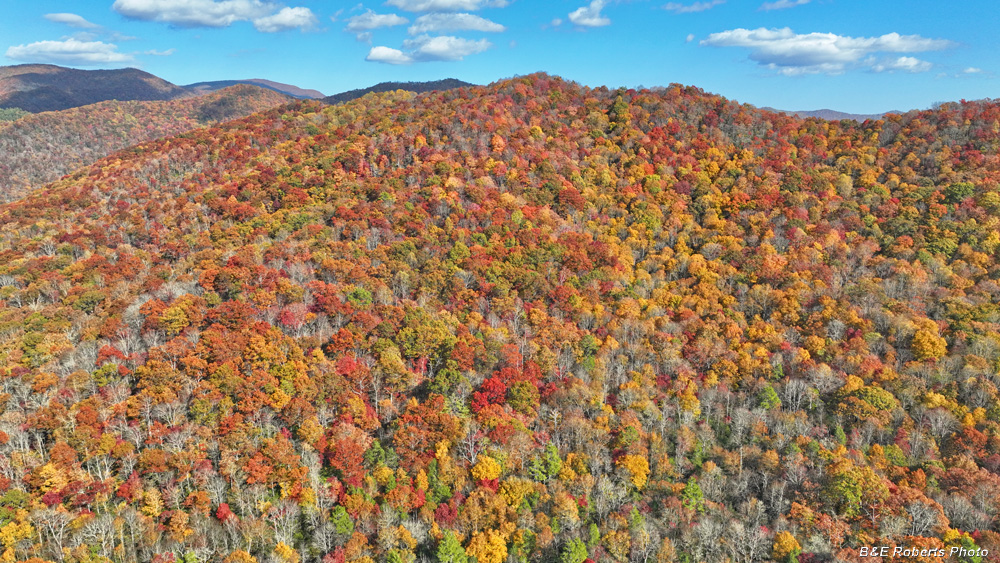
| More nice color to the east |
|
 |
|
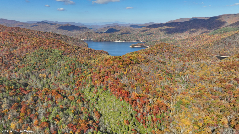
| View north to Nantahala Lake |
|
 |
|
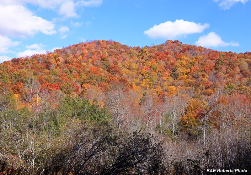
| Back on the ground, looking up at a colorful ridge. |
|
 |
|
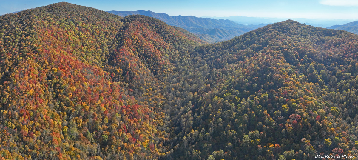
| 3rd (and longest) drone flight View south to Tusquitee Gap with Lake Chatuge barely visible way in the distance. |
|
 |
|
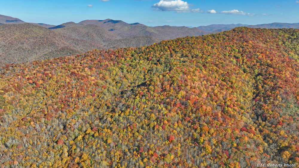
| View southeast Ridge leading to Tusquitee Gap in foreground, Chunky Gal on horizon. |
|
 |
|
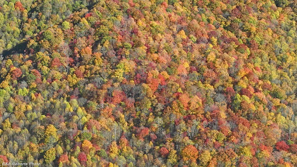
| Looking down on more colorful foliage |
|
 |
|
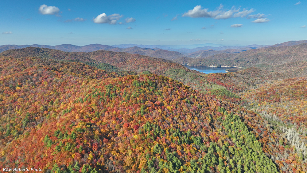
| Nantahala Lake, from further south than the earlier flight. |
|
 |
|
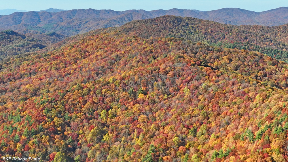
| View to the northwest |
|
 |
|
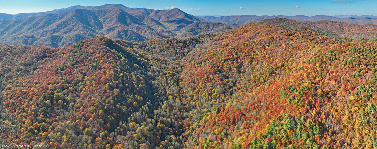
| Tusquittee Range on the left side |
|
 |
|
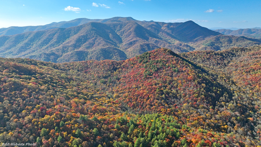
| Looking due west toward the Tusquitee Range |
|
 |
|
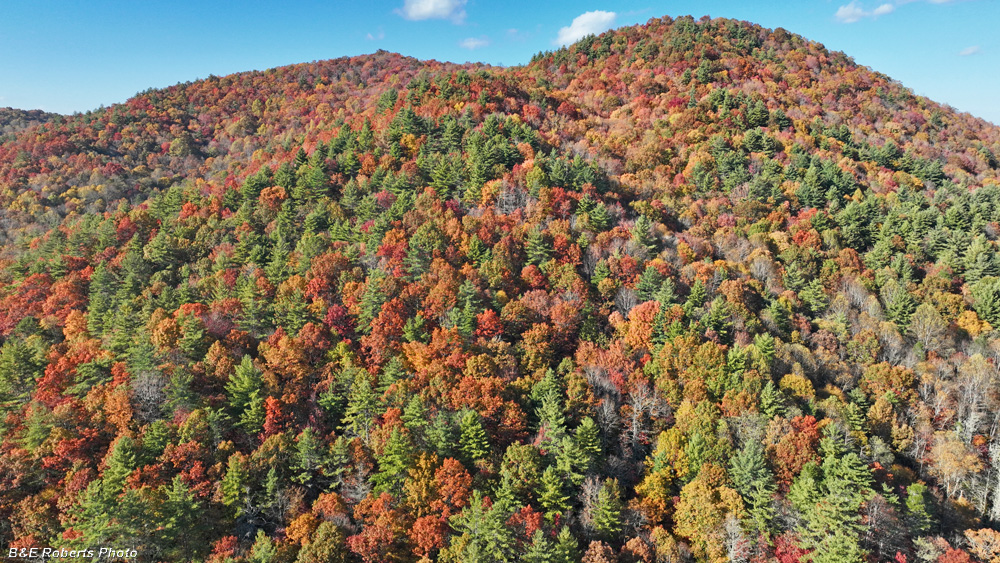
| Nice color as the drone was descending |
|
 |
|
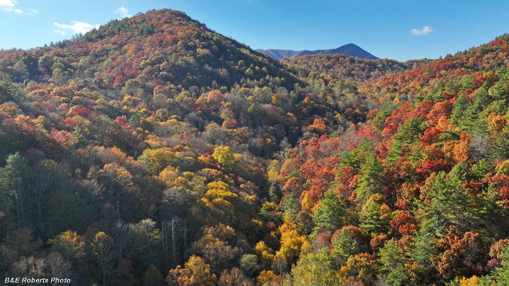
| Colorful valley as the drone came down |
|
 |
|
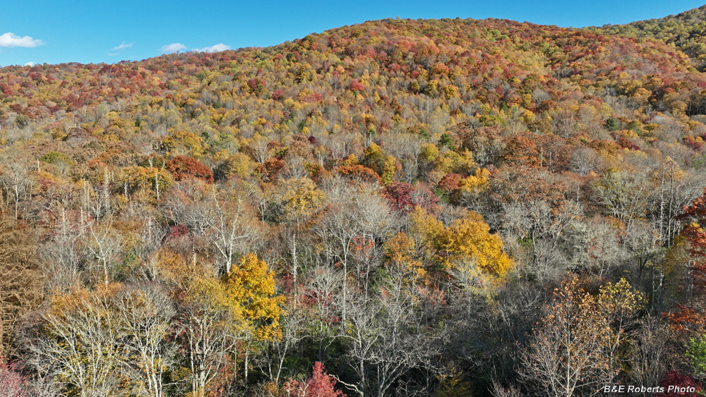
| View east |
|
 |
|
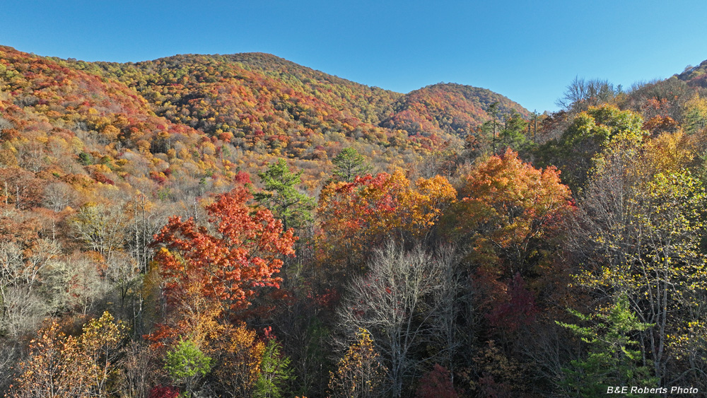
| Another little valley |
|
 |
|
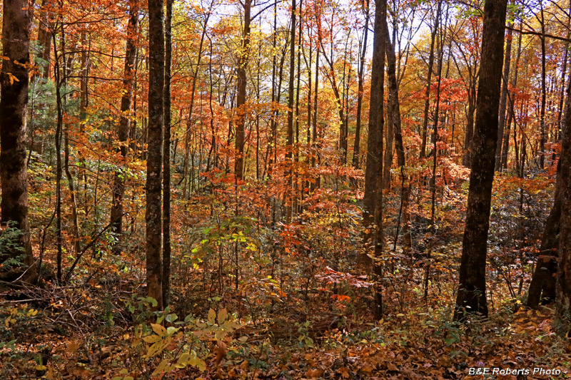
| Back on the ground, a roadside view as I came down the mountain. |
|
| 2 - Later in the week, a few foliage shots around our house |
|
 |
|
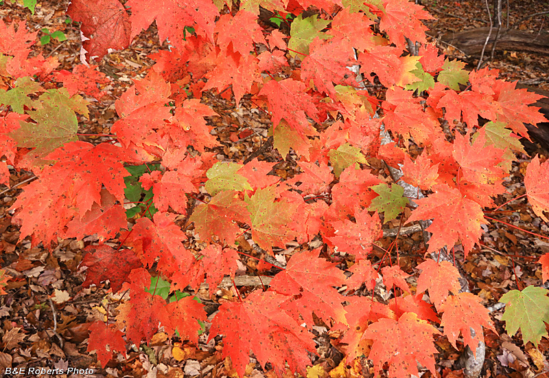
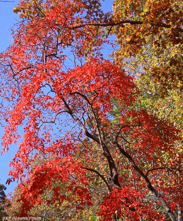
| Maple leaves |
|
 |
|
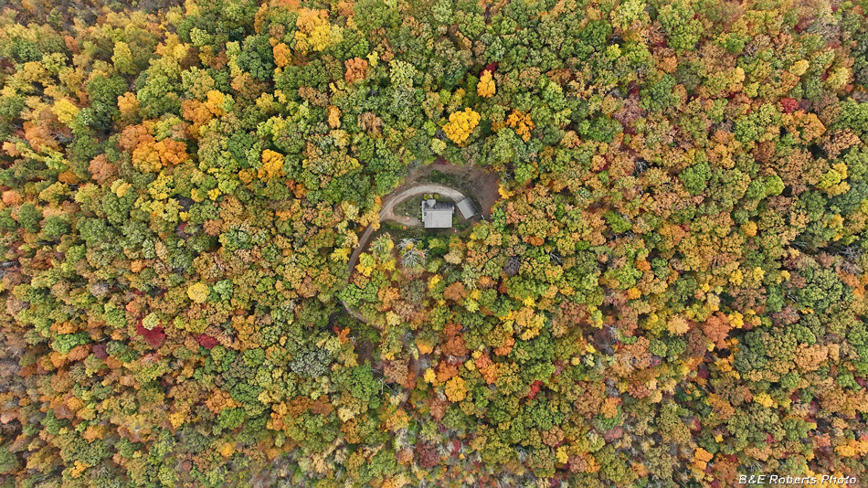
| View down on our house Still quite a few leaves hadn't turned yet. |
|
 |
|
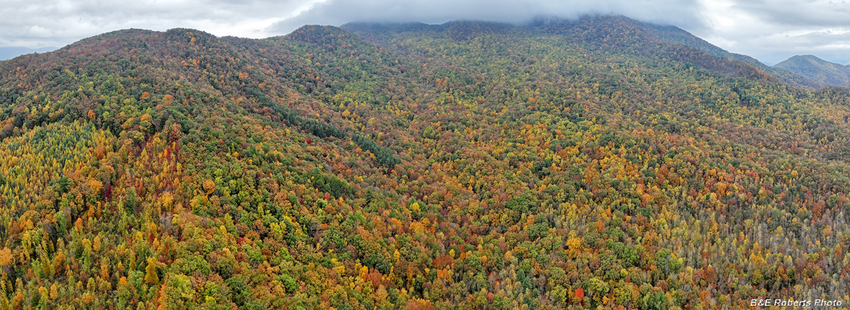
| Roughly a 130 degree panorama, with Skut Knob to the left, cloud- shrouded Eagle Mtn at center-right, and Buck Knob at far right. |
|
 |
|
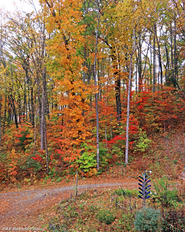
| A couple of days later, above our driveway. |
|
 |
|
| After a quick shower... When the leaves are wet, the color is always more vivid. |