 |
Panoramic Mountain Drone Views Fires Creek Basin |
All Text & Images: Copyright (2024) |
 |
Panoramic Mountain Drone Views Fires Creek Basin |
All Text & Images: Copyright (2024) |
| November 2024 I took my drone over to Fires Creek WMA for some shots of the mountains. I annotated the names of the prominent peaks on a few of the images. |
|
 |
|
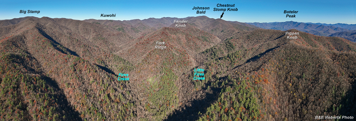
| The Fires Creek WMA is basically a basin surrounded by mountains. This is about a 140 degree panorama looking NE, facing the ridge that separates Fires Creek and Little Fires Creek. A few prominent features are annotated. |
|
 |
|
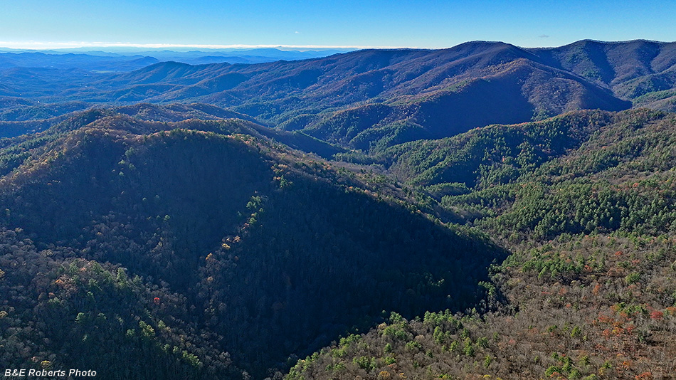
| View into the sun to the west. The Peachtree area and Hiwassee River Valley are seen in the left distance, toward Murphy. |
|
 |
|
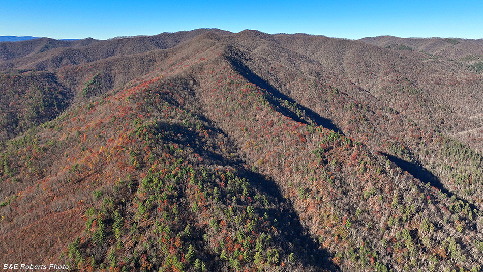
| View north, of Big Stamp. There are Native American cupule rocks on that mountain-side. (pictured in one of my other Fires Creek albums). |
|
 |
|
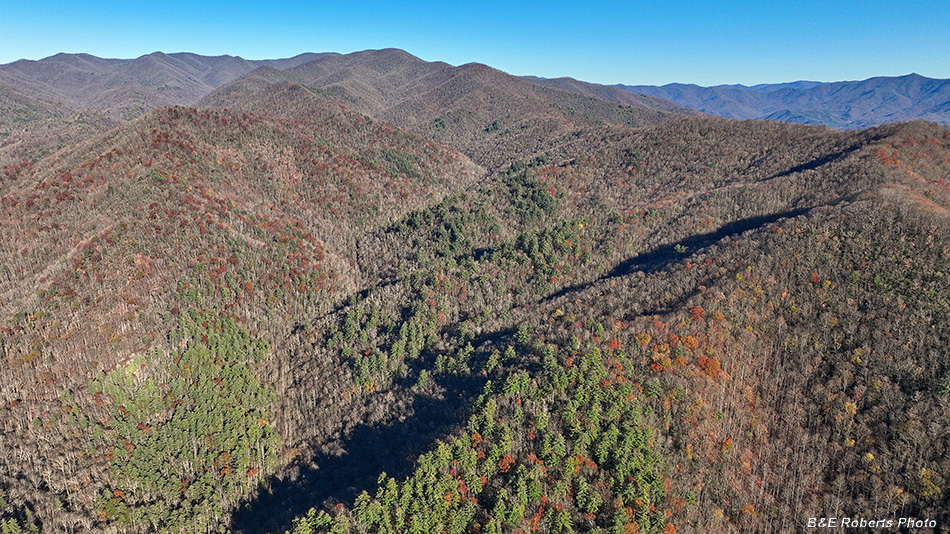
| View to the east. Johnson Bald is the tallest peak on the horizon. Valley of Little Fires Creek at left-center. |
|
 |
|
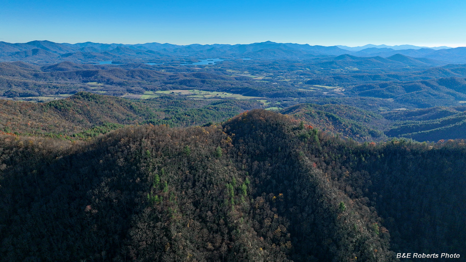
| View to the south. Hayesville and Lake Chatuge in the distance. |
|
 |
|
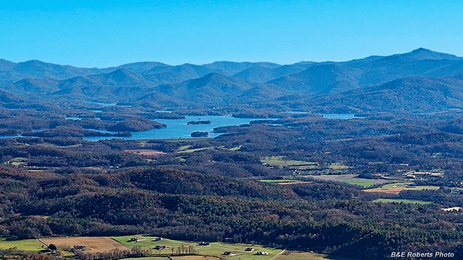
| Zoomed in on Lake Chatuge Brasstown Bald (Enotah) is on the far right horizon. |
|
 |
|
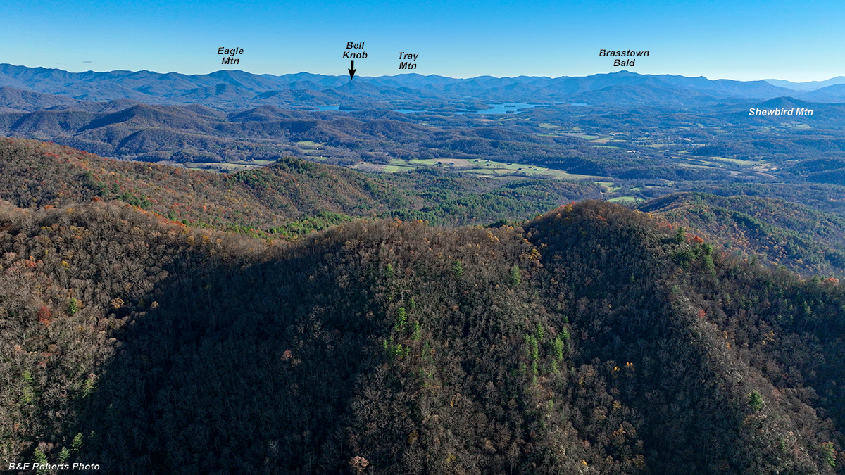
| Another view toward Lake Chatuge, with prominent peaks annotated. |
|
 |
|
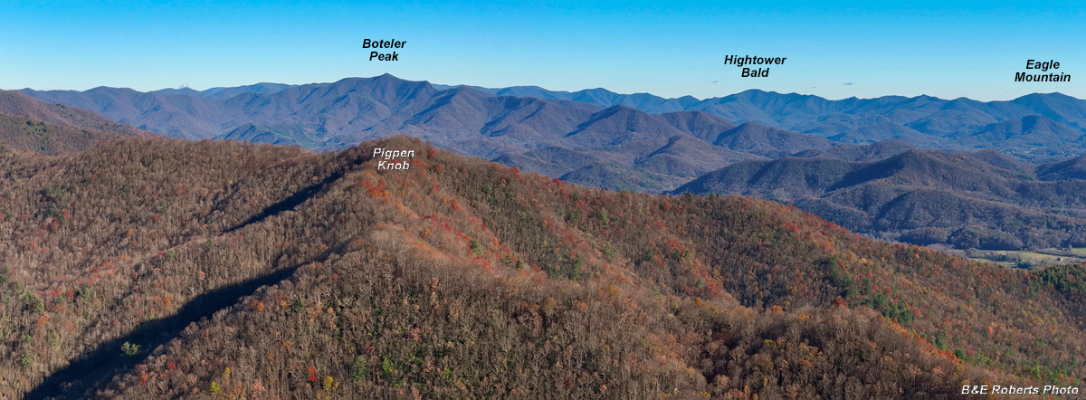
| A zoomed-in view roughly to the east, covering about 100 degrees, with prominent peaks annotated. |