1 - Falls at Falls Branch, Towns Co.
July 2017
|
 |
Falls on Buckeye Cove Branch
|
 |
Middle section of waterfall on Falls Branch
|
2 - The Cheese Dairy - Tray Mountain
December 2021
|
 |
Rock-lined Spring at the 1840s Cheese Dairy site
See Charles Lanman's "Letters from the Alleghany Mountains" for a chapter on this dairy.
|
 |
These angled stones form the outlet for the spring water.
The spring is all that remains of the dairy in this pretty open woods.
|
 |
Sheldon and I went looking for a chimney at an old homesite,
but it had been destroyed for a wildlife opening. Nearby, we
found the base of an old log structure, in Grapevine Cove.
There were support stones under the logs at each corner.
Only the bottom row of logs remained.
|
3 - Drone Shots from above the headwaters of the Hiwassee River
Mid-November 2024
|
 |
This 200 degree panorama spans from Brasstown Bald (Enotah) on the
left horizon to Tray Mountain on the right side. The view is looking
NNE, with GA Hwy 75 heading toward Hiawassee to the left of center.
With a 200 degree panorama, the perspective is skewed.
If you were here, you would have to turn to your left
to see the Bald, and to your right to see Tray Mtn.
|
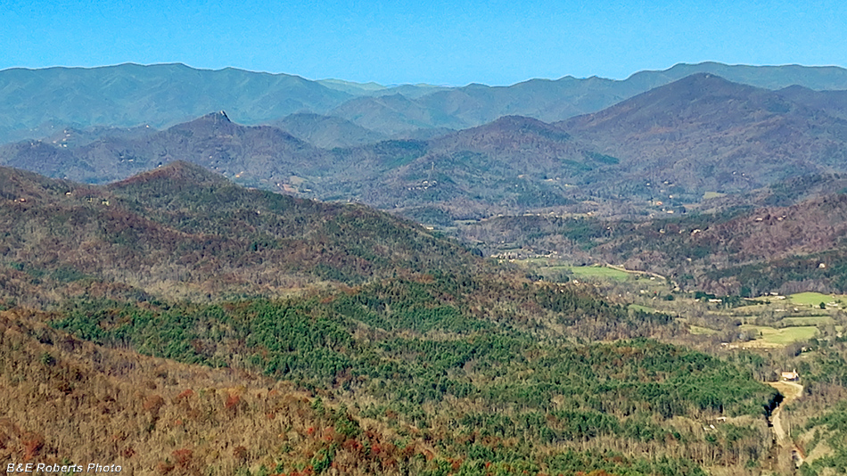 |
Zoomed in, GA Hwy 75 (at right) approaches
Hiawassee, hidden by the mountain at left.
|
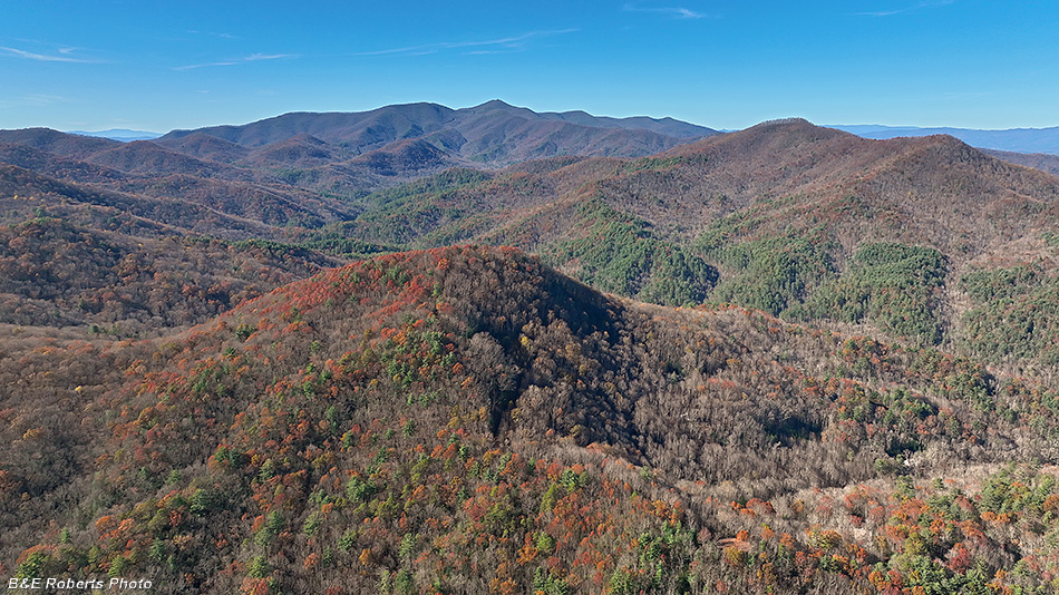 |
Six miles away, Brasstown Bald (Enotah) sits at the center
of the horizon, with Kings Knob in the foreground.
One can see the look-out tower on the Bald, as well as
the road to the summit, if viewing on a large screen.
|
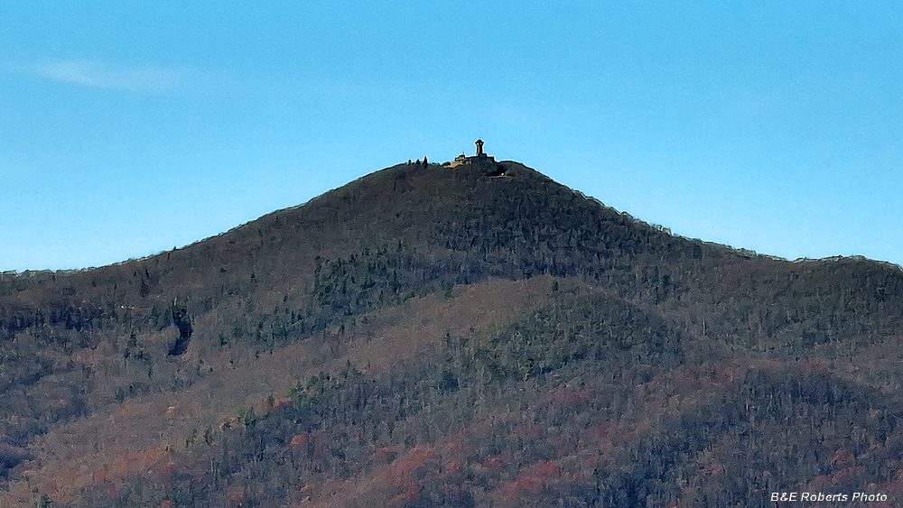 |
Brasstown Bald tower, at my drone's full zoom.
Not the sharpest image, but considering it's six miles
away, and the drone is hovering in the wind...
|
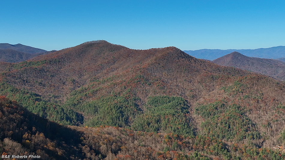 |
The double-knobbed summit of Spaniard Mountain, with Round Top off to the right.
I've never understood how Round Top got its name, as it's one of the more pointed peaks in the area!
|
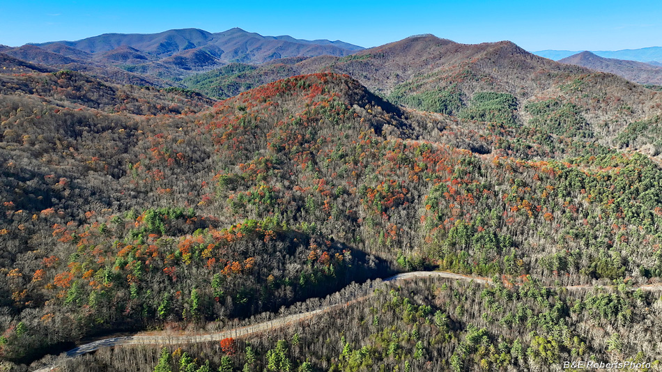 |
Another view toward Brasstown Bald, with GA Hwy 75 in the foreground.
|
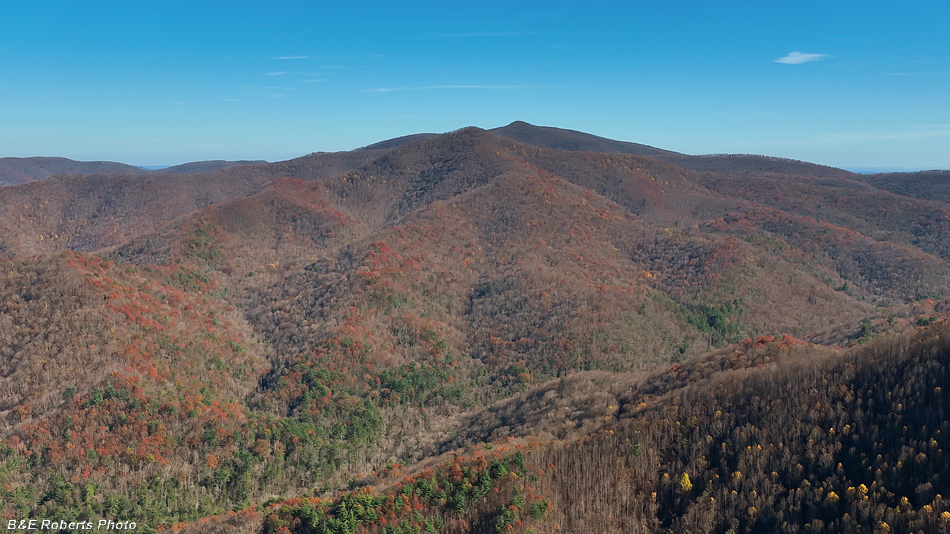 |
The massive bulk of Tray Mountain.
This peak was originally called Trail Mtn, but the name was
misheard over the years and at some point became Tray Mtn.
|
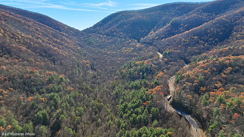 |
Looking into the sun, GA 75 winds its way up to Unicoi Gap.
|
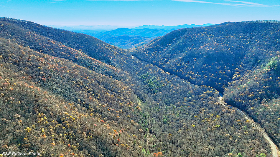 |
Higher up, looking through Unicoi Gap into White Co.
|
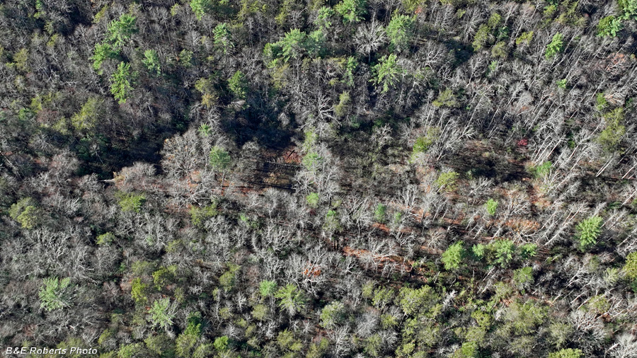 |
The four old abandoned fishponds...
Constructed by the Chatuge Fish & Game Club, shortly after WW-II.
|
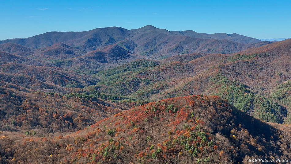 |
One final view toward Brasstown Bald.
|

