May 2017
|
 |
Initial view of Sorrels Branch Lower Falls
|
 |
What's that stone structure at the brink of the falls?
One can also make out another waterfall upstream from the structure.
|
 |
Lower Falls - from the base
I would estimate 40-50 feet in height.
|
 |
Getting soaked as I kept clicking a balky remote!
It's hard to appreciate the height of this drop from the perspective in this image.
|
 |
After a climb and then a scramble down a steep slope, I reached the stone ruins.
They were built in the middle of the creek, which flows around them on either side.
The brink of the lower falls is at far left.
|
 |
Ruins from inside the structure.
I was told that this had been an old mill, but it's way too small, and you don't put a mill at the brink of a waterfall.
I found out later that this structure housed the hydro-electric power generation plant for CCC Camp F-15, which
was situated down below at the mouth of the branch. The structure is similar in size and placement to other old
power generating structures that I have seen at the brink of a couple of waterfalls and cascades in NC & TN.
|
 |
Photos looking down from the brink of a waterfall never do it justice, but here is a view from inside the
downstream end of the ruin structure, looking at the two water flows about to go over the brink of the falls.
|
 |
Sorrels Upper Falls, looking upstream from the stone ruin.
Probably about a 20 foot drop.
|
 |
CCC Company 1443, F-15, Camp Soapstone was located at the
mouth of Sorrels Branch in the 1930s. The stone structure housed
part of the hydro-electric power generation operation for the camp.
|
 |
Civilian Conservation Corps (CCC) Camp F-15 (Soapstone) in March 1936.
|
A return to Sorrels Branch - March 2018
After my previous visit to these falls, I'd heard there were other stone structures in the area. So, I climbed up one side of the
creek and down the other (about a half mile upstream & back), crawling through all the deadfall, and didn't find anything but a
few stone piles on the west side above the known structure. I had previously seen the breached dam for the swimming hole -
reservoir, and did find an unidentified rectangular concrete structure alongside the branch further downstream, but that was it.
Note: On a later visit to the vicinity, we did find two explosives storage bunkers used by the CCC, a few coves over...
|
 |
Despite the sun, since I was at the falls with a good water flow, I took a few shots
|
 |
Unidentified rectangular concrete structure near the mouth of the branch by Soapstone Creek
|
 |
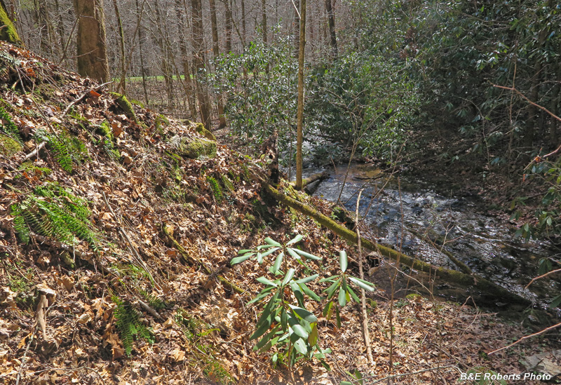
Sorrels Creek flows past end of breached pond dam (on left)
Hwy 180 is visible at rear background.
|
 |
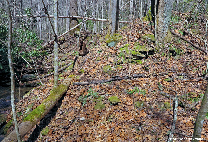
Another view of the breached dam.
Between all the deadfall and rhododendron, it's hard to get a good photo showing the old dam.
|
 |
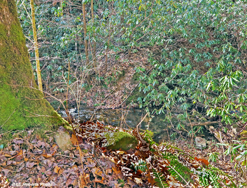
View across creek from breached end of earthen dam.
|
 |
Small mushrooms on an old fallen tree trunk...
|

