| Site of Withred's (Willford's) Mill near Emerson, GA |
All Text & Images: Copyright (2013) |
| Site of Withred's (Willford's) Mill near Emerson, GA |
All Text & Images: Copyright (2013) |
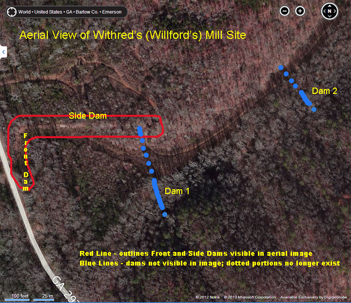
| Years ago, many CW artifacts were recovered from this site. Fired bullets & musket balls from the discharge cited above were found on the slope above the former mill ponds. Numerous accoutrements (buttons, buckles, plates, etc.), weapon components and other camp items were found, this being a major CSA campsite. The site was covered by hardwoods, and the lay-out of the mill grounds was very discernible. Two large (20 ft tall in places) mill dams were extant, almost 100 yards across; breached only by the mill creek and a trail. An earthen side dam stretched downstream toward Pumpkinvine Creek, along with depressions that were doubtless part of a millrace set-up. A recent visit to this site was depressing. The two rear millpond dams had been mostly destroyed by installation of a sewer line (far more destruction than necessary!). Much of the area is now a thicket of brambles and under-brush. While the side dam has only a few breaches, it is so grown up as to be almost impenetrable. It is sad that so few folks are aware of this historic site, and even sadder that some care wasn't taken to minimize the damage done to it. With development of the adjacent Lakepoint Sports Complex, it won't be long before nothing remains of this slice of history. UPDATE: As of 2019, expansion of the Sports Complex has pretty much destroyed the remaining evidence of this mill. Note: An aerial view at the bottom of this page provides a key to the structure locations. |
|
 |
|
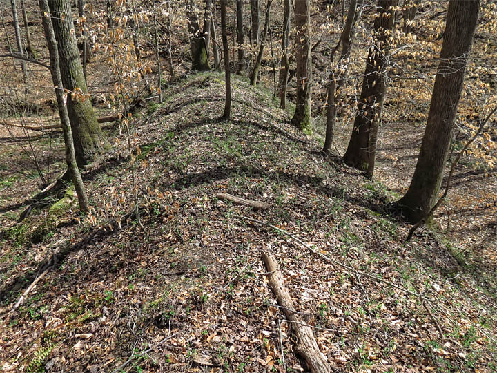
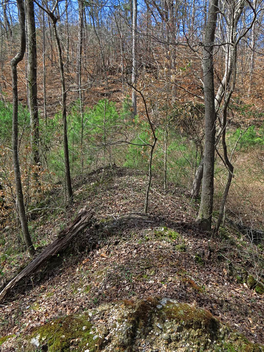
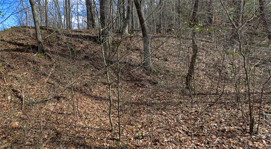
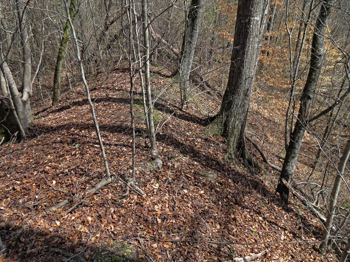
| Starting at the back of the site - the rear millpond dam (Dam 2) Not long ago, the entire site was open hardwoods like this. |
|
 |
|
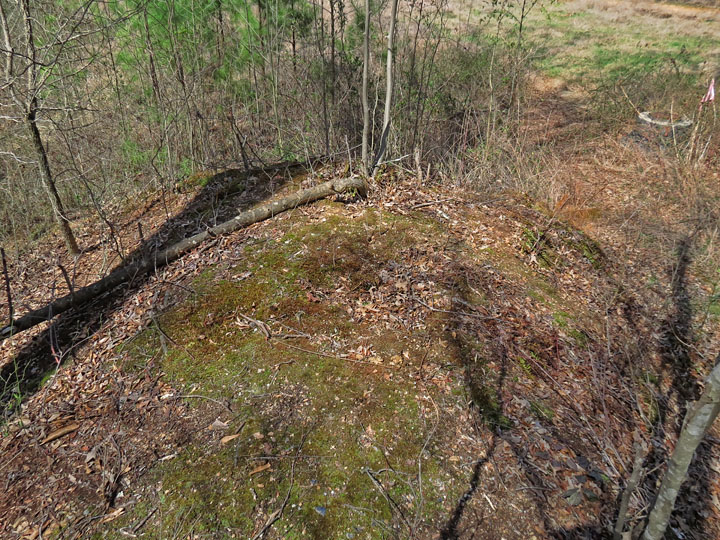
| Front of Dam 2 |
|
 |
|
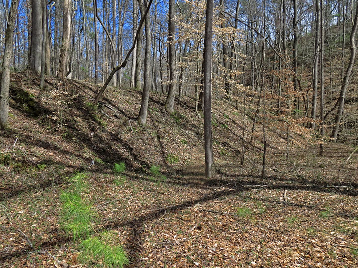
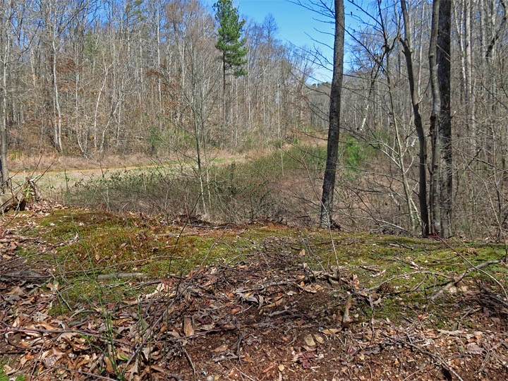
| View across one of the now-dry former millponds, at the slopes that were the target of the Corps' weapon discharge on the morning of May 22, 1864. Hundreds of fired bullets & musket balls were found fired into this slope. |
|
 |
|
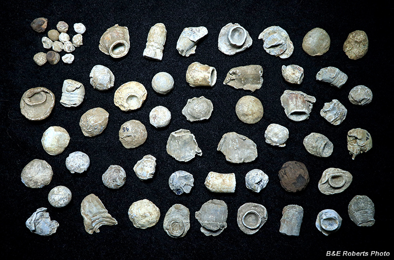
| Despite not visiting this site until long after it had been "hunted out", I excavated these fired bullets from the steep slope pictured above in one afternoon in 1988. The proportion of smooth-bore musket balls found compared to rifled bullets shows how many obsolete weapons were still in use by CSA troops even this late in the war. A fairly uncommon "Gardner insert" bullet can be seen in the top row. (Note: The "45" visible on some of the projectiles is just my location code for this area. The dark brown object is a musket ball that hit a tree, and is still encased in wood.) |
|
 |
|
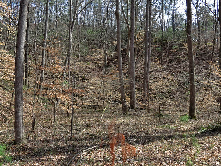
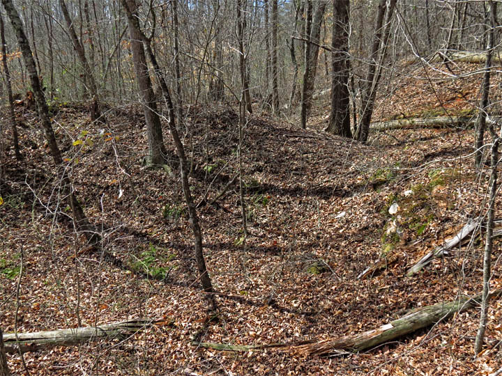
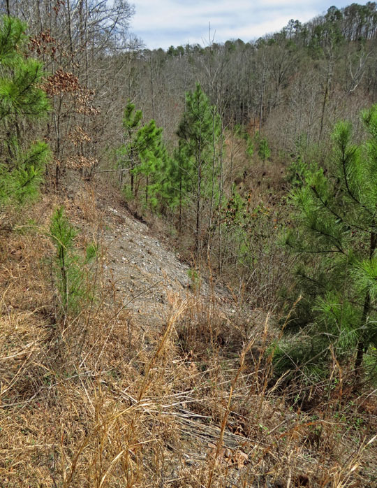
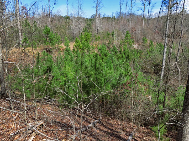
| The opposite end of the same dam (Dam 2); the green pines and thicket indicate where approx. 120 ft of the dam has been bulldozed away. |
|
 |
|
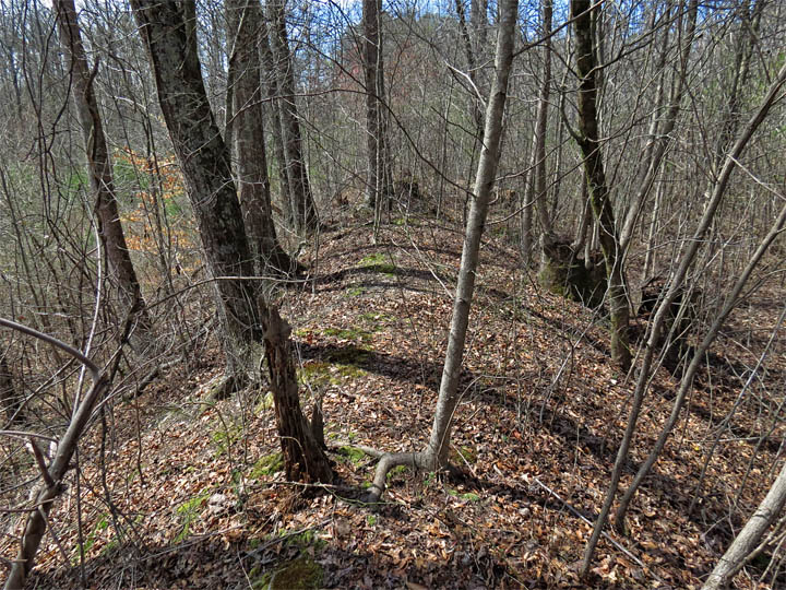
| Heading toward the front of the site (SW) brings you to Dam 1. Due to the terrain, this dam was originally longer than the rear dam, but it has undergone greater destruction. This view shows the top of Dam 1, with the pipeline clearing headed to the NE. The rear dam (Dam 2) is located just to the right of where the pipeline fades into the woods near center rear. The entire area behind this dam would have been a millpond. |
|
 |
|
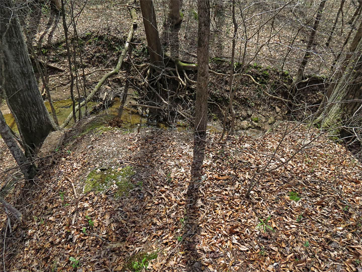
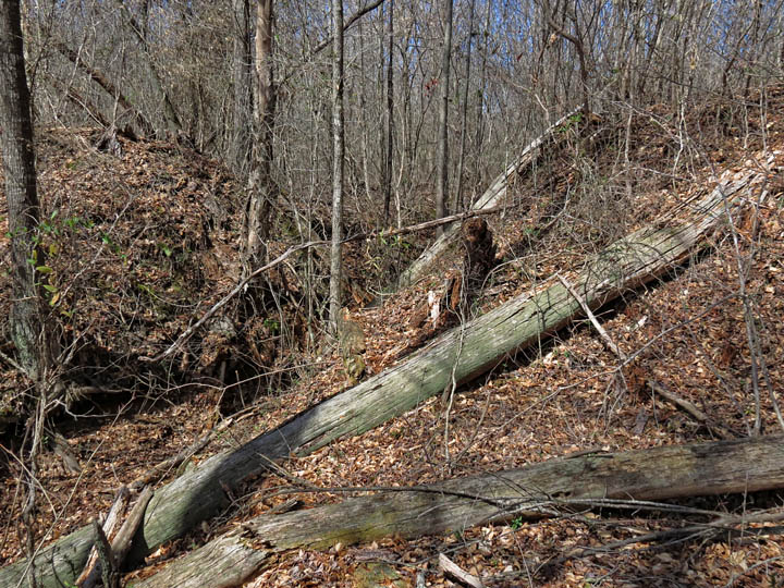
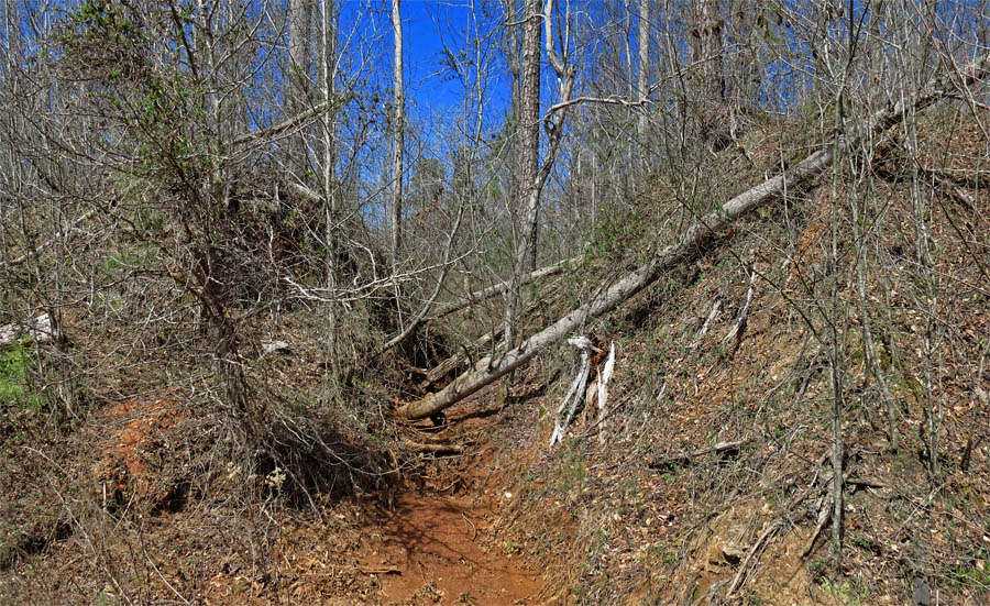
| Old breach in Dam 1 at the mill creek. Looking down from upper edge of the dam's south end. |
|
 |
|
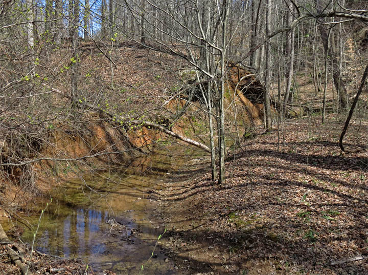
| From the mill creek, the same breach in the dam. |
|
 |
|
| Front of Dam 1 |
|
 |
|
| Abrupt end to Dam 1, where most of it was bulldozed for the sewer installation. |
|
 |
|
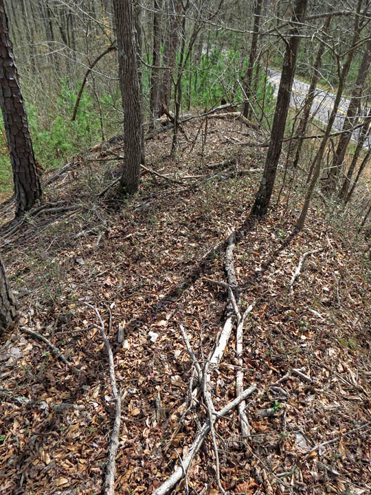
| Short remaining section of Dam 1's north end (left) meets the long Side dam (right rear). There appears to have been a spillway at one time in this area. |
|
 |
|
| Side dam |
|
 |
|
| Old breach in Side dam. |
|
 |
|
| Side dam |
|
 |
|
| Another breach in the Side dam. |
|
 |
|
| From near western end of the Side dam, looking east. The area to the right would have been covered by a large millpond in the 1800s. |
|
 |
|
| From the Front dam, the Side dam stretches from left to right... |
|
 |
|
| Front dam, paralleling the road. It can be seen from the green pine growth that this dam was also breached for the sewer. |
|
 |
|
| Annotated aerial map of the mill site. |